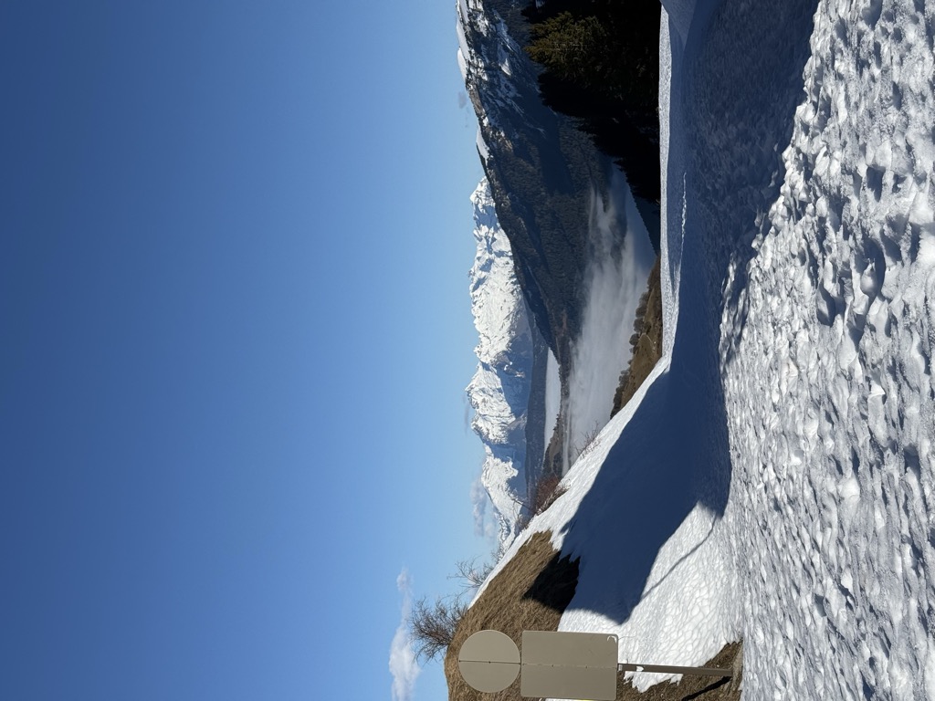
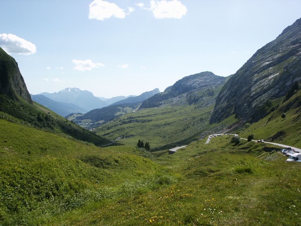
Col de la Colombière (elevation 1613 m) is a mountain pass in the Alps in the department of Haute-Savoie in France. It connects Cluses in the Arve valley with Le Grand-Bornand in the Bourne valley. The road then leads further to Annecy or over Col des Aravis to the Arly valley and is situated between the Massif des Bornes to the north-west and the Chaîne des Aravis to the south-east. The pass is not an important traffic route because there are better roads that parallel it, particularly the A40 autoroute.
We use GPS information embedded into the photo when it is available.
3D mountains overlay
Adjust mountain panorama to perfectly match your photos because recorded by camera photo position might be imprecise.
Move tool
Rotate tool
Zoom
More customization
Choose which peak labels should make into the final photo and what photo title should be.
Next
Photo Location
Satellitte
Flat map
Relief map
Latitude
Longitude
Altitude
OR
Latitude
°'''
Longitude
°'''
Apply
Register Peak
Peak Name
Latitude
Longitude
Altitude
Register
Teleport
PeakVisor
This 3D model of Sagarmatha National Park in Nepal was made using the PeakVisor app topographic data. The mobile app features higher precision models worldwide, more topographic details, and works offline. Download PeakVisor maps today.
Download OBJ model
PeakVisor
The download should start shortly. If you find it useful please consider supporting the PeakVisor app.
PeakVisor for iOS and Android
Be a superhero of outdoor navigation with state-of-the-art 3D maps and mountain identification in the palm of your hand!


.jpg)


