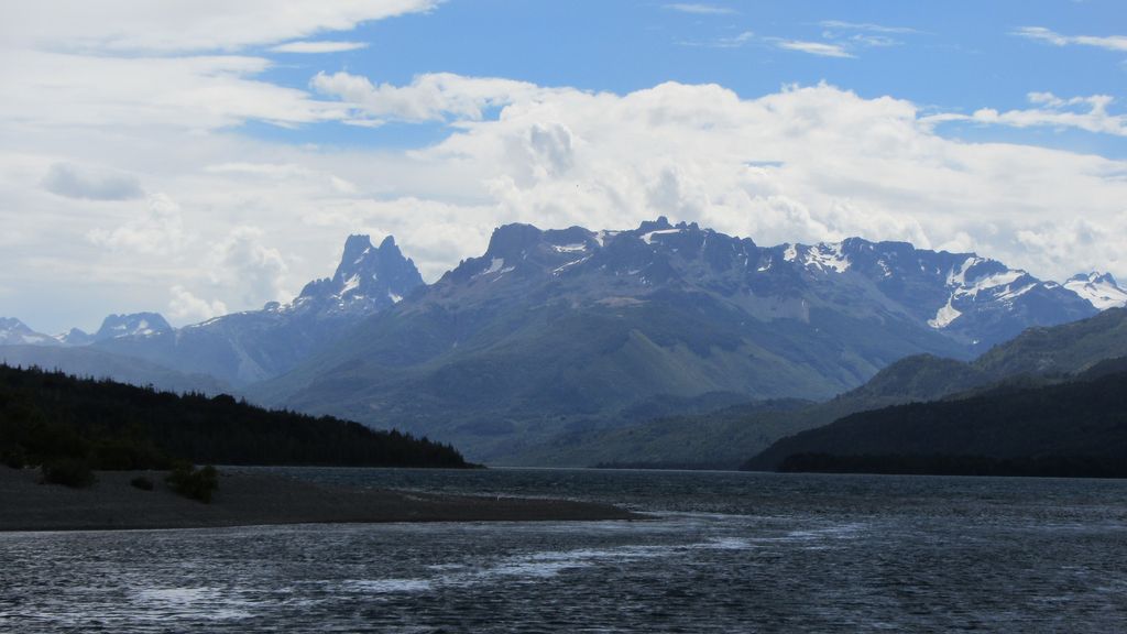
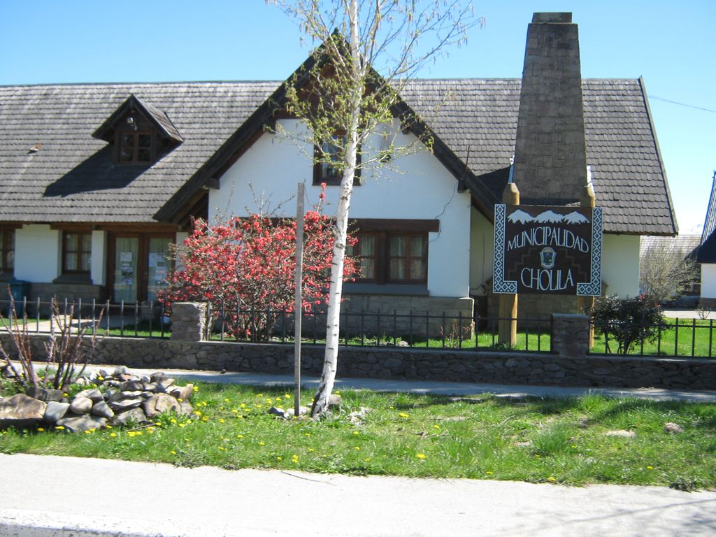
Cholila, Argentina is a town located in Cushamen Department, Chubut Province, Argentina. It is located in Patagonia. The population of the town in 2010 was 1,560 and its elevation above sea level was 560 metres (1,840 ft) Cholila is located a few hundred meters from Pellegrini Lake, also called Lago de los Mosquitos, 461 hectares (1,140 acres) in surface area. Cholila sits at the foot of the Andes. Lake Cholila is located 18 kilometres (11 mi) in a straight line distance west north-west of the town.
We use GPS information embedded into the photo when it is available.
3D mountains overlay
Adjust mountain panorama to perfectly match your photos because recorded by camera photo position might be imprecise.
Move tool
Rotate tool
Zoom
More customization
Choose which peak labels should make into the final photo and what photo title should be.
Next
Photo Location
Satellitte
Flat map
Relief map
Latitude
Longitude
Altitude
OR
Latitude
°'''
Longitude
°'''
Apply
Register Peak
Peak Name
Latitude
Longitude
Altitude
Register
Teleport
PeakVisor
This 3D model of Sagarmatha National Park in Nepal was made using the PeakVisor app topographic data. The mobile app features higher precision models worldwide, more topographic details, and works offline. Download PeakVisor maps today.
Download OBJ model
PeakVisor
The download should start shortly. If you find it useful please consider supporting the PeakVisor app.
PeakVisor for iOS and Android
Be a superhero of outdoor navigation with state-of-the-art 3D maps and mountain identification in the palm of your hand!