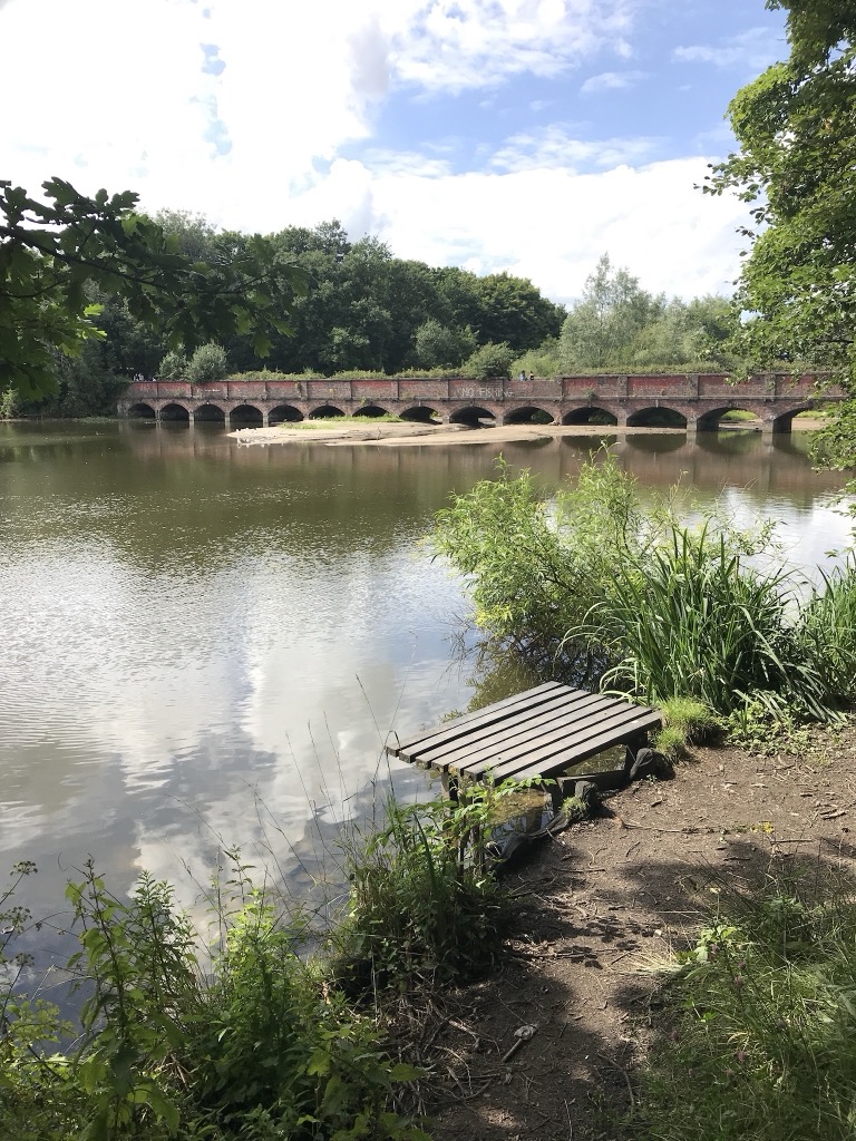
Carr Mill Dam is situated north of St Helens town centre, on the A571 (Carr Mill Road), in Merseyside. At 55 acres, it is the largest body of inland water in the area, and offers picturesque lakeside trails and walks, as well as national competitive powerboating and angling events. It is home of Lancashire Powerboat Racing Club established in 1923 where club, national and international powerboat racing takes place. The name Carr Mill traditionally came from the Norse word 'Carr' meaning marsh or fen. Once simply a mill pond built to power a corn mill, the dam is shown on William Yates's 1786 Map of Lancashire, with the mill adjacent. The land itself belonged to the Gerard family and a lease details the permissions and extent of use of the occupants. The waters were expanded significantly in the 1750s in order to provide water to the Sankey Brook Navigation, about a mile away. The dam was further enlarged by the London and North Western Railway during construction and cast iron marker posts are still visible at two points around the dam.
Show more
Sun and Moon
Mon
Tue
Wed
Thu
Fri
Sat
Sun
May 2022
Date and time
00:00
06:00
12:00
18:00
Today
--
--
Sunrise
--
Sunset
--
Moonrise
--
Moonset
Phase
🌔 Waxing Gibbous
The perfect light time for beautiful photos:
--
Sunrise
--
Sunset
PeakVisor app
Get the app on your smartphone
New Panorama Tools
Trace location on the map
Measure distances
All the instruments are available in the context menu as well.
We use GPS information embedded into the photo when it is available.
3D mountains overlay
Adjust mountain panorama to perfectly match your photos because recorded by camera photo position might be imprecise.
Move tool
Rotate tool
Zoom
More customization
Choose which peak labels should make into the final photo and what photo title should be.
Next
Photo Location
Satellitte
Flat map
Relief map
Latitude
Longitude
Altitude
OR
Latitude
°'''
Longitude
°'''
Apply
Register Peak
Peak Name
Latitude
Longitude
Altitude
Register
Teleport
PeakVisor
This 3D model of Sagarmatha National Park in Nepal was made using the PeakVisor app topographic data. The mobile app features higher precision models worldwide, more topographic details, and works offline. Download PeakVisor maps today.
Download OBJ model
PeakVisor
The download should start shortly. If you find it useful please consider supporting the PeakVisor app.
PeakVisor for iOS and Android
Be a superhero of outdoor navigation with state-of-the-art 3D maps and mountain identification in the palm of your hand!