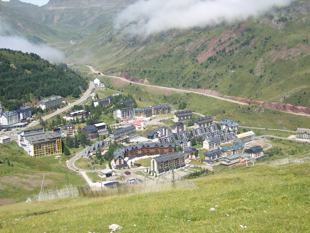
Candanchú is a ski resort situated near the town of Canfranc in the High Aragon of the western Pyrenees, in the province of Huesca, Spain. The name of the area is an adaptation of the French "Camp d'Anjou", as it was originally the site of a military camp of the French Angevin dynasty. This is also located near the road on the historical Camino de Santiago. Candanchú is 1 km from Puerto del Somport, on the border with France. The neighboring Astún ski resort is located 27 km north of the city of Jaca. On the right bank of the river Aragón, near the bridge of Santa Cristina, are the ruins of the Hospital of Santa Cristina of Somport, a hospice for pilgrims on the Camino de Santiago.
We use GPS information embedded into the photo when it is available.
3D mountains overlay
Adjust mountain panorama to perfectly match your photos because recorded by camera photo position might be imprecise.
Move tool
Rotate tool
Zoom
More customization
Choose which peak labels should make into the final photo and what photo title should be.
Next
Photo Location
Satellitte
Flat map
Relief map
Latitude
Longitude
Altitude
OR
Latitude
°'''
Longitude
°'''
Apply
Register Peak
Peak Name
Latitude
Longitude
Altitude
Register
Teleport
PeakVisor
This 3D model of Sagarmatha National Park in Nepal was made using the PeakVisor app topographic data. The mobile app features higher precision models worldwide, more topographic details, and works offline. Download PeakVisor maps today.
Download OBJ model
PeakVisor
The download should start shortly. If you find it useful please consider supporting the PeakVisor app.
PeakVisor for iOS and Android
Be a superhero of outdoor navigation with state-of-the-art 3D maps and mountain identification in the palm of your hand!