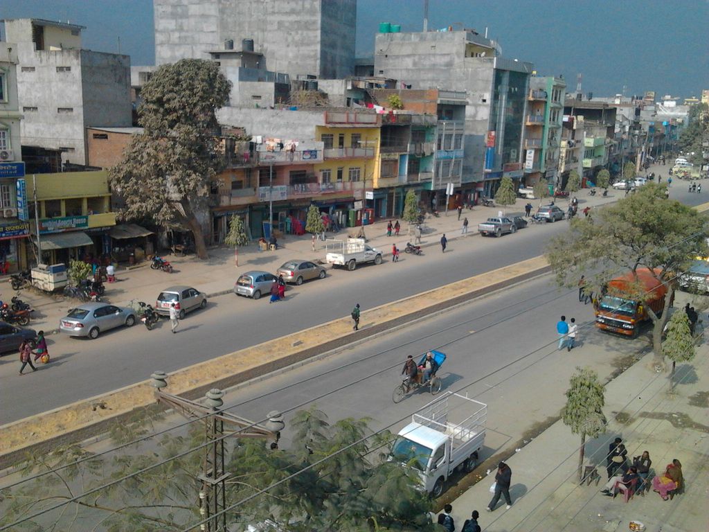
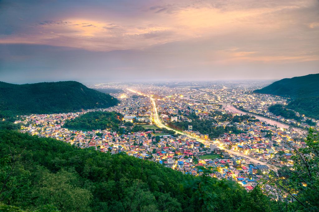
Butwal (Nepali: बुटवल), officially Butwal Sub-Metropolitan City (Nepali: बुटवल उपमहानगरपालिका),previously known as Khasyauli (Nepali: खस्यौली), is a sub-metropolitan city and economic hub in Lumbini Province in West Nepal. Butwal has a city population of 195,054 as per the 2021 AD Nepal census. The city is one of the tri-cities of rapidly growing Butwal-Tilottama-Bhairahawa urban agglomeration primarily based on the Siddhartha Highway in West Nepal with a total urban agglomerated population of 421,018. It is one of the fastest-growing cities in Nepal for health, education, construction, communication, trade, and banking sectors. It has highway connections to the Indian border at Sunauli and to the hilly towns in Tansen and Pokhara valley, and holds the title of being "The Best City in Nepal" five times in a row. Geographically, Butwal is at the intersection of Nepal's two different National Highways, Mahendra Highway and Siddhartha Highway. It connects western Nepal with the capital Kathmandu through the highway and air links (via Gautam Buddha International Airport at Siddharthanagar). The city stands beside the bank of Tinau River, and at the northern edge of the Terai plain below the Siwalik Hills. Its name, Butwal was derived from Batauli Bazaar , the town's oldest residential area which is located on the western bank of the Tinau River. Butwal was officially declared as a sub-metropolitan city on 2 December 2014 AD by combining two neighboring VDCs Motipur and Semlar. The city is currently headed by Nepali Congress leader Khel Raj Pandey.
We use GPS information embedded into the photo when it is available.
3D mountains overlay
Adjust mountain panorama to perfectly match your photos because recorded by camera photo position might be imprecise.
Move tool
Rotate tool
Zoom
More customization
Choose which peak labels should make into the final photo and what photo title should be.
Next
Photo Location
Satellitte
Flat map
Relief map
Latitude
Longitude
Altitude
OR
Latitude
°'''
Longitude
°'''
Apply
Register Peak
Peak Name
Latitude
Longitude
Altitude
Register
Teleport
PeakVisor
This 3D model of Sagarmatha National Park in Nepal was made using the PeakVisor app topographic data. The mobile app features higher precision models worldwide, more topographic details, and works offline. Download PeakVisor maps today.
Download OBJ model
PeakVisor
The download should start shortly. If you find it useful please consider supporting the PeakVisor app.
PeakVisor for iOS and Android
Be a superhero of outdoor navigation with state-of-the-art 3D maps and mountain identification in the palm of your hand!