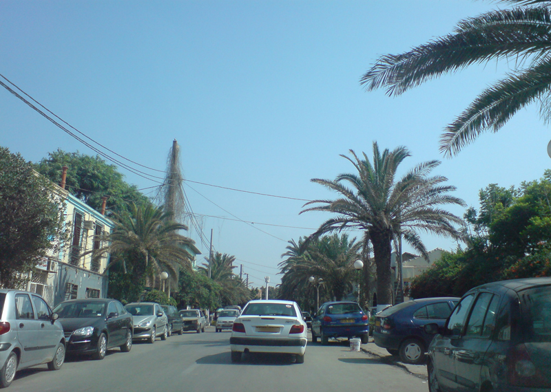
Bordj El Kiffan (Arabic 'برج الكيفان') is a suburb of the city of Algiers in northern Algeria. It is in the eastern section of the city, near Matares Beach. Named Fort de l'Eau (Fr. 'Water Fortress') under French rule prior to 1962, used to be a famous beach resort within the Bay of Algiers, complete with luxury hotels and a casino. Pollution from urbanization, nearby industrialization, and untreated sewage affected the status, and the beach was no longer popular since the late 1970s. The urban location, however, preserved some of its former recreational status. Today situated directly north (i.e. towards the Mediterranean sea) of the close by Algiers' Houari Boumedienne international airport, with direct highway connection from the capital.
We use GPS information embedded into the photo when it is available.
3D mountains overlay
Adjust mountain panorama to perfectly match your photos because recorded by camera photo position might be imprecise.
Move tool
Rotate tool
Zoom
More customization
Choose which peak labels should make into the final photo and what photo title should be.
Next
Photo Location
Satellitte
Flat map
Relief map
Latitude
Longitude
Altitude
OR
Latitude
°'''
Longitude
°'''
Apply
Register Peak
Peak Name
Latitude
Longitude
Altitude
Register
Teleport
PeakVisor
This 3D model of Sagarmatha National Park in Nepal was made using the PeakVisor app topographic data. The mobile app features higher precision models worldwide, more topographic details, and works offline. Download PeakVisor maps today.
Download OBJ model
PeakVisor
The download should start shortly. If you find it useful please consider supporting the PeakVisor app.
PeakVisor for iOS and Android
Be a superhero of outdoor navigation with state-of-the-art 3D maps and mountain identification in the palm of your hand!