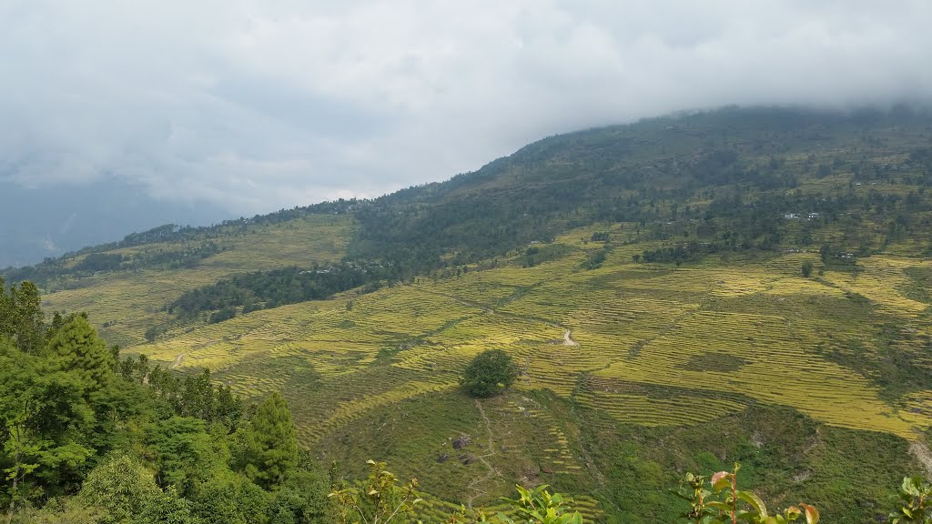
Baseri is a village in Dhading District in the Bagmati Zone of central Nepal. At the time of the 1991 Nepal census it had a population of 6264 and had 1196 houses in it. It is 60 kilometers away from the district headquarter Dhadingbesi. The main occupation of the people here is agriculture. The people of the village are Brahmin and Chhetri in the lower part and Ghale and Gurung in the upper part. In Baseri VDC there is 3 Secondary Schools and they are Shree Mahalaxmi Higher Secondary School, Shree Baseri Secondary School and Shree Shivalaya Secondary School. Shree Mahalaxmi School is located at central of Baseri VDC. Destinations of Baseri : Tinsure Gumba, Nange Chour, Shivalaya Mandir, Annapurna Temple, Ramche Dhunga and Kaliruwa.
We use GPS information embedded into the photo when it is available.
3D mountains overlay
Adjust mountain panorama to perfectly match your photos because recorded by camera photo position might be imprecise.
Move tool
Rotate tool
Zoom
More customization
Choose which peak labels should make into the final photo and what photo title should be.
Next
Photo Location
Satellitte
Flat map
Relief map
Latitude
Longitude
Altitude
OR
Latitude
°'''
Longitude
°'''
Apply
Register Peak
Peak Name
Latitude
Longitude
Altitude
Register
Teleport
PeakVisor
This 3D model of Sagarmatha National Park in Nepal was made using the PeakVisor app topographic data. The mobile app features higher precision models worldwide, more topographic details, and works offline. Download PeakVisor maps today.
Download OBJ model
PeakVisor
The download should start shortly. If you find it useful please consider supporting the PeakVisor app.
PeakVisor for iOS and Android
Be a superhero of outdoor navigation with state-of-the-art 3D maps and mountain identification in the palm of your hand!