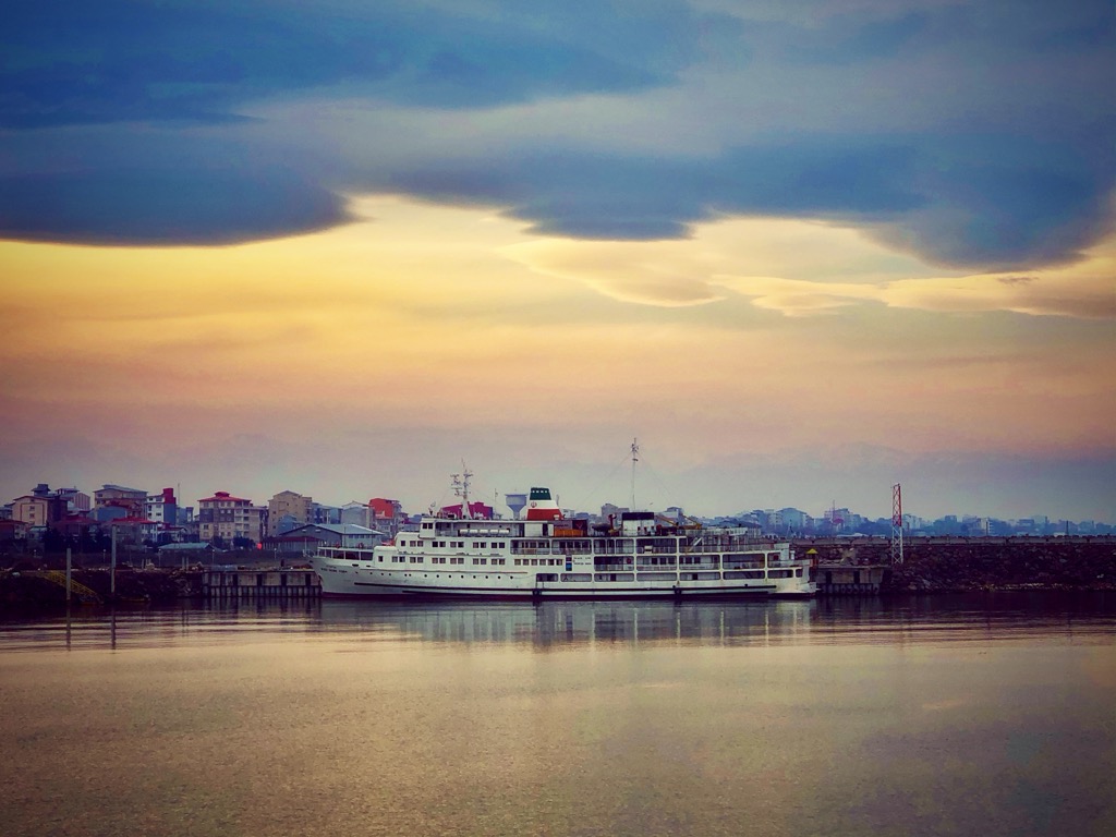
Bandar-e Anzali (Persian: بندرانزلی) is a city in the Central District of Bandar-e Anzali County, Gilan province, Iran, serving as the capital of both the county and the district. At the 2006 National Census, its population was 109,687 in 32,424 households. The following census in 2011 counted 116,664 people in 38,128 households. The latest census in 2016 showed a population of 118,564 people in 41,053 households. Anzali is one of the most important cities in Iran in terms of tourism, economics, and athletics. Bandar-e Anzali is the biggest Gilaki speaking city in the world after Rasht, the capital of Gilan province. The city was home to the first and biggest port on the southern shores of the Caspian Sea. Bandar-e Anzali consists of an island called Mianposhteh and the surrounding lands. Tourist attractions include a clock tower called Manareh, the long harbour promenade, and the water-logged delta and beach along the Sefid Rud.
We use GPS information embedded into the photo when it is available.
3D mountains overlay
Adjust mountain panorama to perfectly match your photos because recorded by camera photo position might be imprecise.
Move tool
Rotate tool
Zoom
More customization
Choose which peak labels should make into the final photo and what photo title should be.
Next
Photo Location
Satellitte
Flat map
Relief map
Latitude
Longitude
Altitude
OR
Latitude
°'''
Longitude
°'''
Apply
Register Peak
Peak Name
Latitude
Longitude
Altitude
Register
Teleport
PeakVisor
This 3D model of Sagarmatha National Park in Nepal was made using the PeakVisor app topographic data. The mobile app features higher precision models worldwide, more topographic details, and works offline. Download PeakVisor maps today.
Download OBJ model
PeakVisor
The download should start shortly. If you find it useful please consider supporting the PeakVisor app.
PeakVisor for iOS and Android
Be a superhero of outdoor navigation with state-of-the-art 3D maps and mountain identification in the palm of your hand!