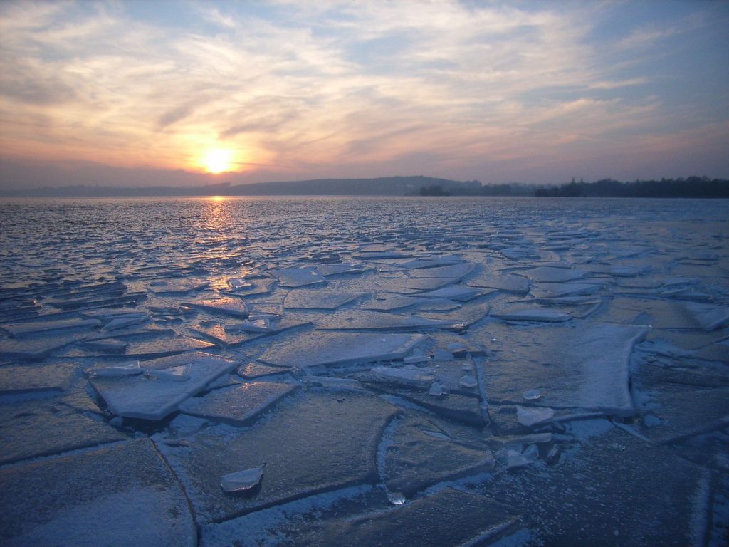
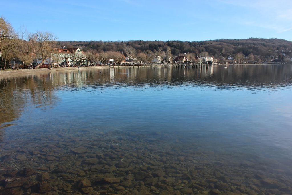
Ammersee (English: Lake Ammer) is a Zungenbecken lake in Upper Bavaria, Germany, southwest of Munich between the towns of Herrsching and Dießen am Ammersee. With a surface area of approximately 47 square kilometres (18 sq mi), it is the sixth largest lake in Germany. The lake is at an elevation of 533 metres (1,749 ft), and has a maximum depth of 81 metres (266 ft). Like other Bavarian lakes, Ammersee developed as a result of the ice age glaciers melting. Ammersee is fed by the River Ammer, which flows as the Amper out of the lake. Like neighbouring Lake Starnberg - deeper, bigger in surface area, similar in shape - it is a popular location for watersports. Ammersee and the Amper are part of the ancient Celtic amber trading route leading to the Brenner Pass. The word Ammer is a 13th-century form of Amper, the Celtic *ambra, deriving from the Indo-European *ombh-, *mbh- "wet, Water". Passenger services have operated on the lake since 1879. Today they are operated by the Bayerische Seenschifffahrt company, using a mixture of historic paddle steamers and motor ships.
Show more
Sun and Moon
Mon
Tue
Wed
Thu
Fri
Sat
Sun
May 2022
Date and time
00:00
06:00
12:00
18:00
Today
--
--
Sunrise
--
Sunset
--
Moonrise
--
Moonset
Phase
🌔 Waxing Gibbous
The perfect light time for beautiful photos:
--
Sunrise
--
Sunset
PeakVisor app
Get the app on your smartphone
New Panorama Tools
Trace location on the map
Measure distances
All the instruments are available in the context menu as well.
We use GPS information embedded into the photo when it is available.
3D mountains overlay
Adjust mountain panorama to perfectly match your photos because recorded by camera photo position might be imprecise.
Move tool
Rotate tool
Zoom
More customization
Choose which peak labels should make into the final photo and what photo title should be.
Next
Photo Location
Satellitte
Flat map
Relief map
Latitude
Longitude
Altitude
OR
Latitude
°'''
Longitude
°'''
Apply
Register Peak
Peak Name
Latitude
Longitude
Altitude
Register
Teleport
PeakVisor
This 3D model of Sagarmatha National Park in Nepal was made using the PeakVisor app topographic data. The mobile app features higher precision models worldwide, more topographic details, and works offline. Download PeakVisor maps today.
Download OBJ model
PeakVisor
The download should start shortly. If you find it useful please consider supporting the PeakVisor app.
PeakVisor for iOS and Android
Be a superhero of outdoor navigation with state-of-the-art 3D maps and mountain identification in the palm of your hand!


.jpg)


