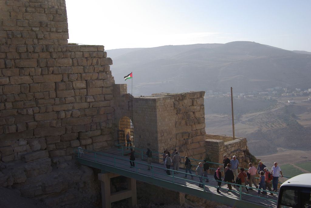
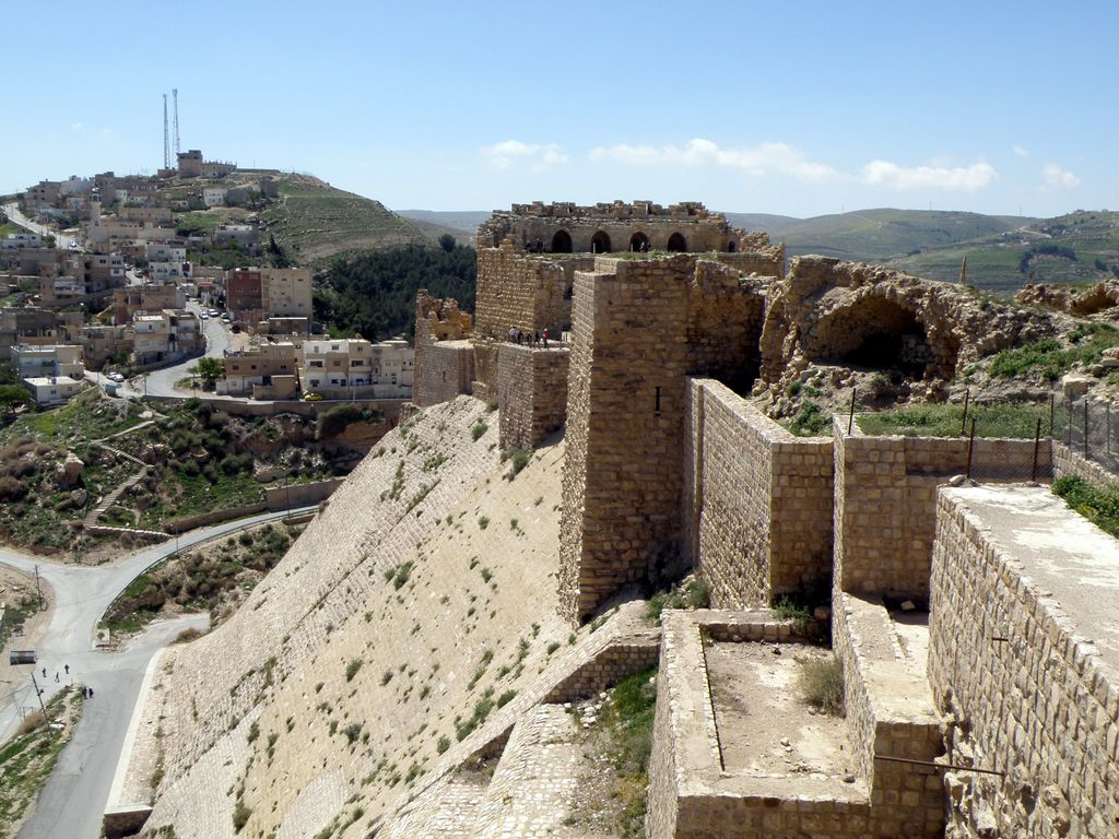
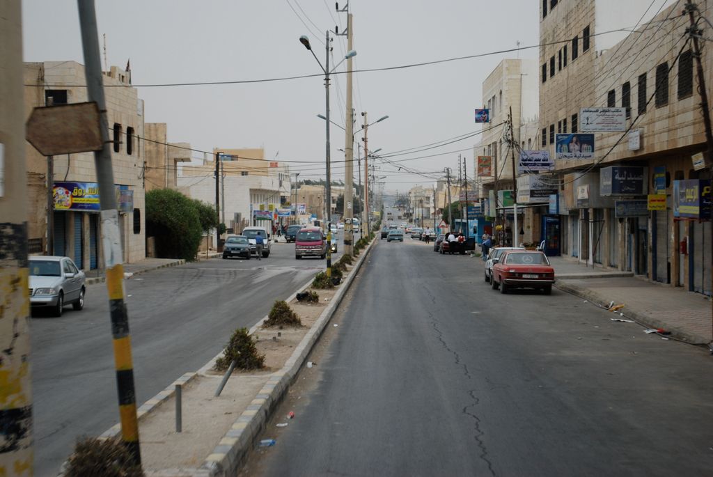
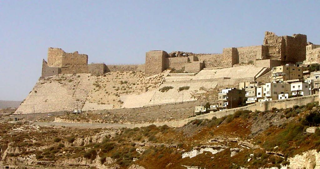
Al-Karak (Arabic: الكرك) is a city in Jordan known for its medieval castle, the Kerak Castle. The castle is one of the three largest castles in the region, the other two being in Syria. Al-Karak is the capital city of the Karak Governorate. Al-Karak lies 140 kilometres (87 mi) to the south of Amman on the ancient King's Highway. It is situated on a hilltop about 1,000 metres (3,300 ft) above sea level and is surrounded on three sides by a valley. Al-Karak has a view of the Dead Sea. A city of about 32,216 people (2005) has been built up around the castle and it has buildings from the 19th-century Ottoman period. The town is built on a triangular plateau, with the castle at its narrow southern tip.
We use GPS information embedded into the photo when it is available.
3D mountains overlay
Adjust mountain panorama to perfectly match your photos because recorded by camera photo position might be imprecise.
Move tool
Rotate tool
Zoom
More customization
Choose which peak labels should make into the final photo and what photo title should be.
Next
Photo Location
Satellitte
Flat map
Relief map
Latitude
Longitude
Altitude
OR
Latitude
°'''
Longitude
°'''
Apply
Register Peak
Peak Name
Latitude
Longitude
Altitude
Register
Teleport
PeakVisor
This 3D model of Sagarmatha National Park in Nepal was made using the PeakVisor app topographic data. The mobile app features higher precision models worldwide, more topographic details, and works offline. Download PeakVisor maps today.
Download OBJ model
PeakVisor
The download should start shortly. If you find it useful please consider supporting the PeakVisor app.
PeakVisor for iOS and Android
Be a superhero of outdoor navigation with state-of-the-art 3D maps and mountain identification in the palm of your hand!


.jpg)


