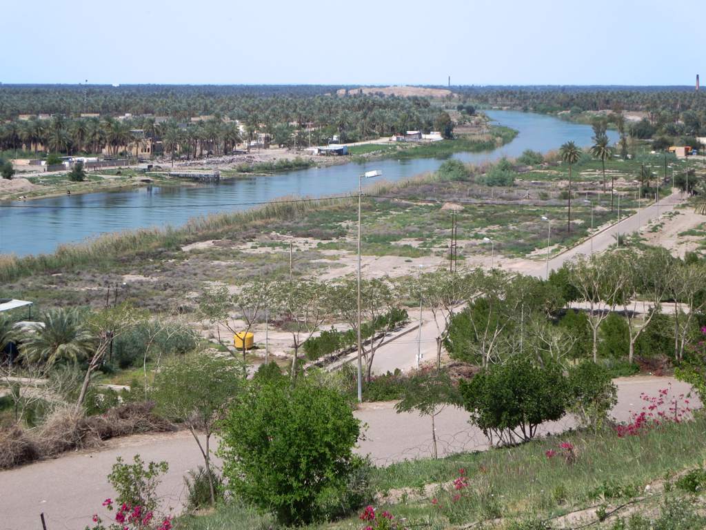
Hillah (Arabic: ٱلْحِلَّة al-Ḥillah), also spelled Hilla, is a city in central Iraq on the Hilla branch of the Euphrates River, 100 km (62 mi) south of Baghdad. The population was estimated to be about 455,700 in 2018. It is the capital of Babylon Province and is located adjacent to the ancient city of Babylon, and close to the ancient cities of Borsippa and Kish. It is situated in a predominantly agricultural region which is extensively irrigated with water provided by the Hilla canal, producing a wide range of crops, fruit and textiles. Its name may be derived from the word "beauty" in Arabic. The river runs in the middle of the town, and it is surrounded by date palm trees and other forms of arid vegetation, reducing the harmful effects of dust and desert wind. The city was once a major center of Islamic scholarship and education. The tomb of the Abrahamic prophet Ezekiel is reputed to be located in a nearby village, Al Kifl. It became a major administrative centre during the rule of the Ottoman and British Empires. In the 19th century, the Hilla branch of the Euphrates started to silt up and much agricultural land was lost to drought, but this process was reversed by the construction of the Hindiya Barrage in 1911–1913, which diverted water from the deeper Hindiya branch of the Euphrates into the Hilla canal. It saw heavy fighting in 1920 during an uprising against the British, when 300 men of the Manchester Regiment were apparently defeated in the city.
We use GPS information embedded into the photo when it is available.
3D mountains overlay
Adjust mountain panorama to perfectly match your photos because recorded by camera photo position might be imprecise.
Move tool
Rotate tool
Zoom
More customization
Choose which peak labels should make into the final photo and what photo title should be.
Next
Photo Location
Satellitte
Flat map
Relief map
Latitude
Longitude
Altitude
OR
Latitude
°'''
Longitude
°'''
Apply
Register Peak
Peak Name
Latitude
Longitude
Altitude
Register
Teleport
PeakVisor
This 3D model of Sagarmatha National Park in Nepal was made using the PeakVisor app topographic data. The mobile app features higher precision models worldwide, more topographic details, and works offline. Download PeakVisor maps today.
Download OBJ model
PeakVisor
The download should start shortly. If you find it useful please consider supporting the PeakVisor app.
PeakVisor for iOS and Android
Be a superhero of outdoor navigation with state-of-the-art 3D maps and mountain identification in the palm of your hand!