Scan the QR code and open PeakVisor on your phone
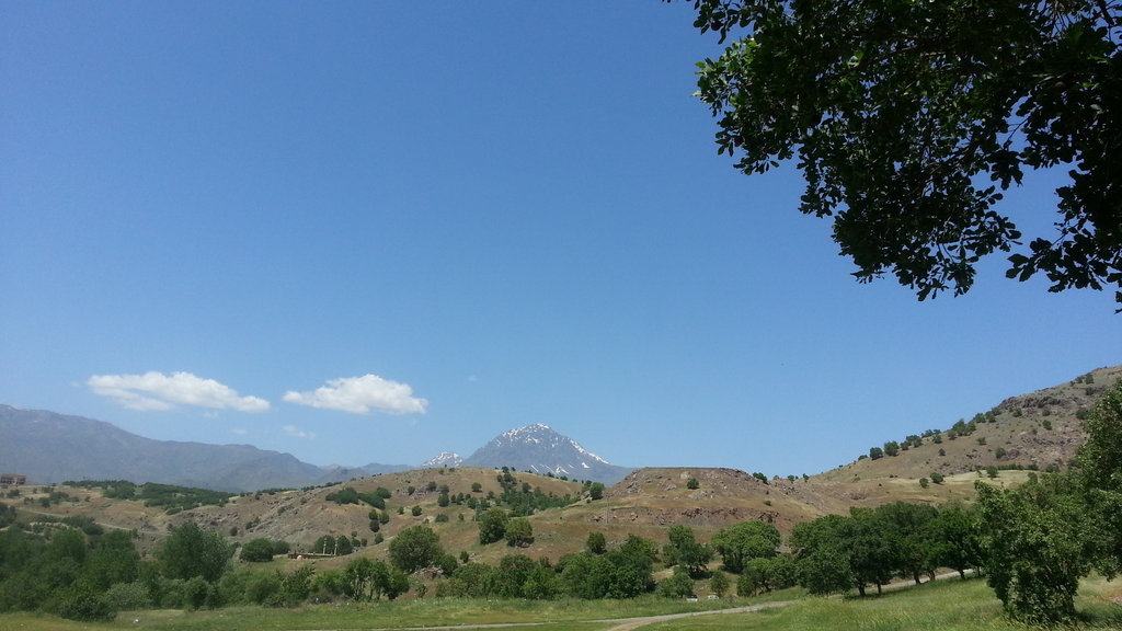
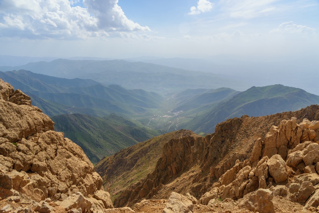
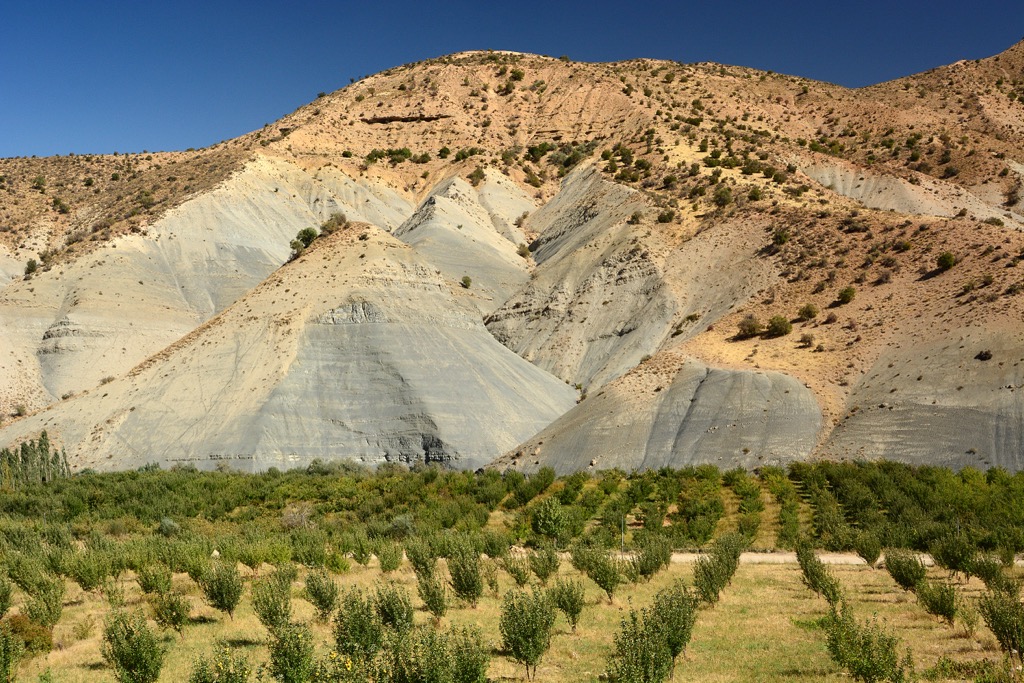
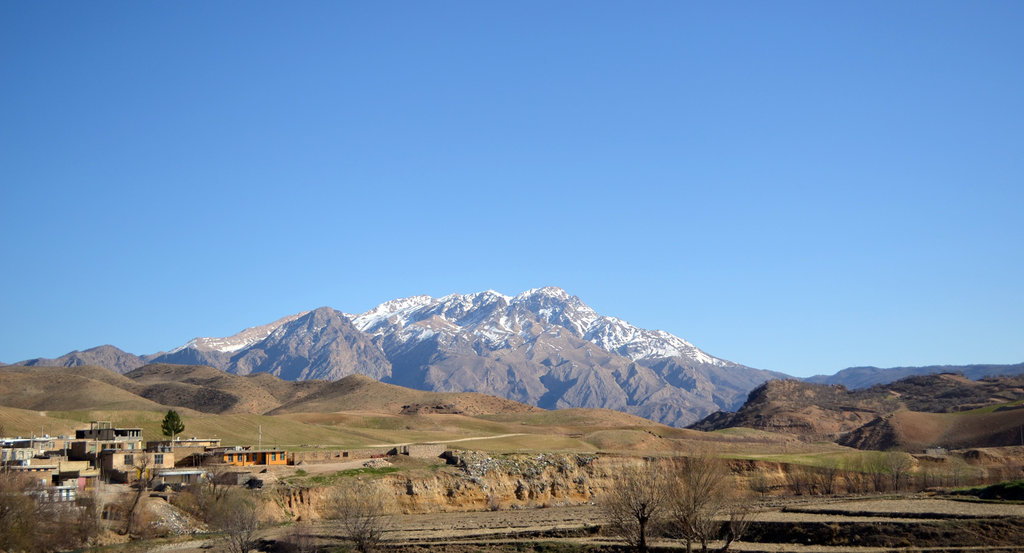
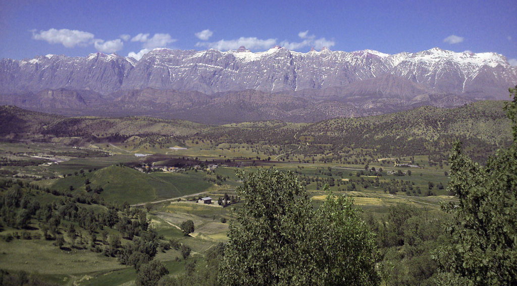
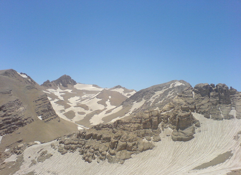
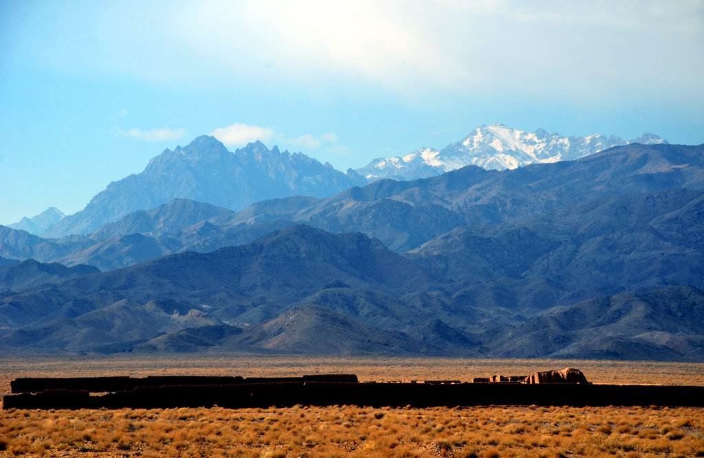
The Zagros Mountains (جبال زاغروس) are the largest mountain system of Iran in the Middle East, covering about one-third of the country. It stretches for 1,600 km (990 mi) along the country's border with Iraq reaching the southern tip of Turkey. The main feature of these relatively young mountains in terms of geology, formed along with the Alps, is that due to their location at the crossroads of civilizations they have a significant ancient human history. They were occupied from at least 65,000–35,000 years ago, as evidenced by traces of Neanderthals, which have been found in three caves: Shanidar Cave, Bisitun Cave, and Wezmeh Cave. It is also the homeland of the Kurds, one of the main people of Iran. There are 24511 named mountains in the Zagros Mountains. The highest and most prominent point is Hezar (4,501 m / 14,767 ft).
.jpg)