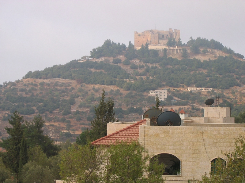
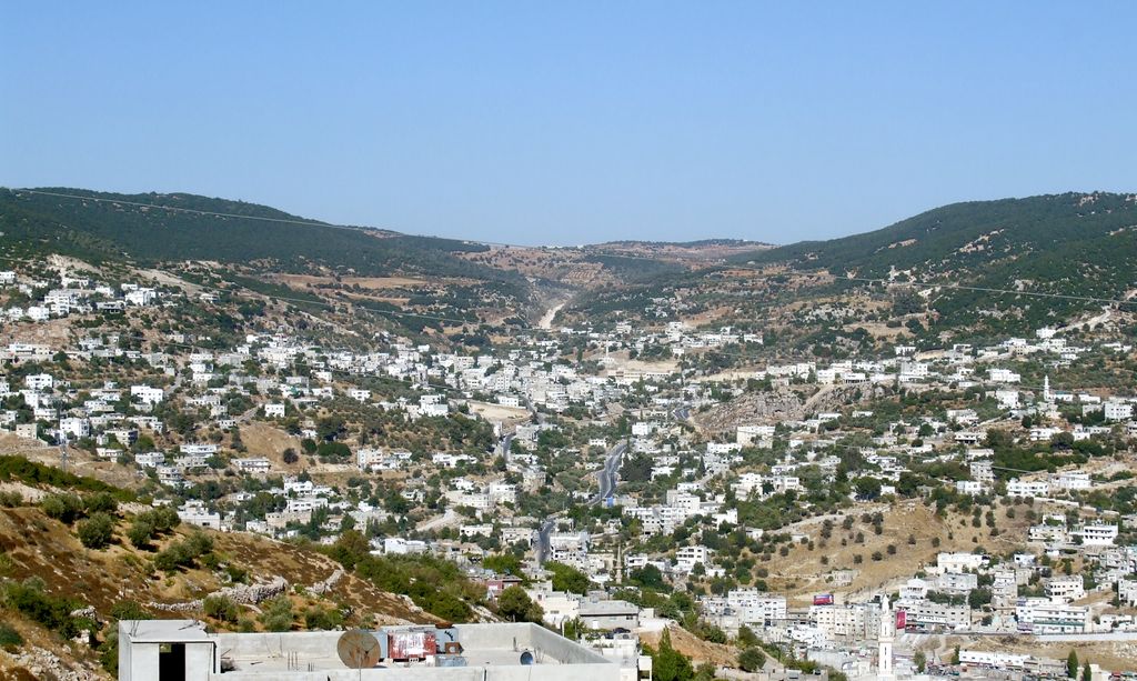
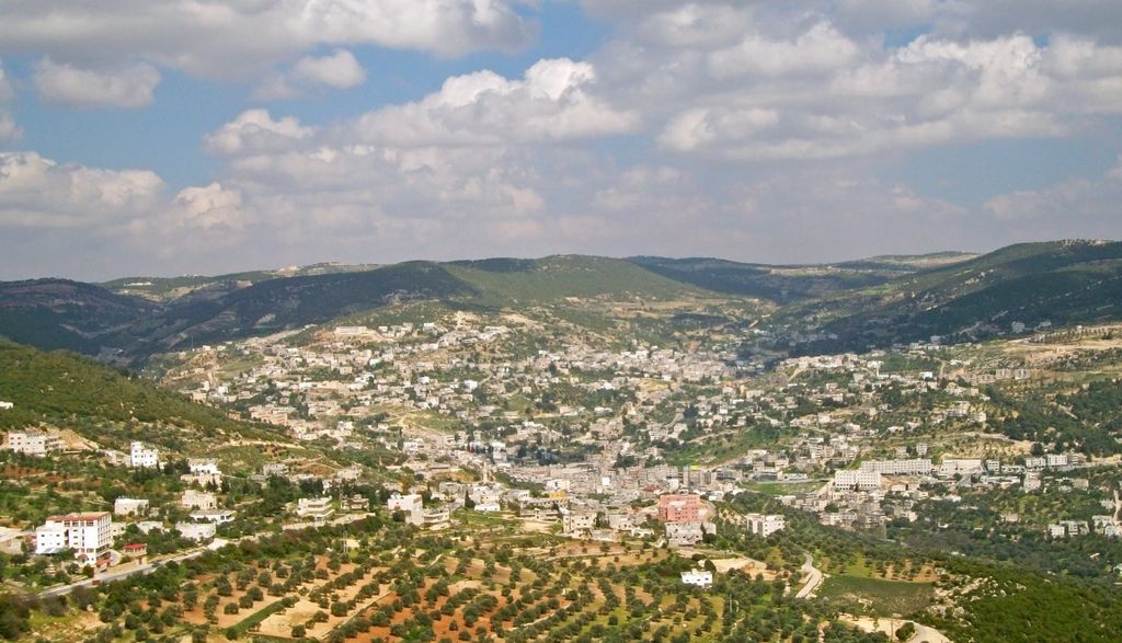
Ajloun (Arabic: عجلون, ‘Ajlūn), also spelled Ajlun, is the capital town of the Ajloun Governorate, a hilly town in the north of Jordan, located 76 kilometers (around 47 miles) north west of Amman. It is noted for its impressive ruins of the 12th-century Ajloun Castle. The Ajlun Governorate has a population of over 176,080 widespread in 27 villages and towns over an area of about 420 km². The population is mainly composed of the Al-Qudah Muslim tribe. Even though most of the people in Jordan or Ajloun are Muslims there are in fact Christian tribes in Ajloun. Although Christians are a minority in the overall governorate, they form about less than half of the population in Ajloun city; most Christians reside in Ajloun city along with Muslims of the Al-Qudah tribe. Other tribes are distributed in the other districts of the governorate.
We use GPS information embedded into the photo when it is available.
3D mountains overlay
Adjust mountain panorama to perfectly match your photos because recorded by camera photo position might be imprecise.
Move tool
Rotate tool
Zoom
More customization
Choose which peak labels should make into the final photo and what photo title should be.
Next
Photo Location
Satellitte
Flat map
Relief map
Latitude
Longitude
Altitude
OR
Latitude
°'''
Longitude
°'''
Apply
Register Peak
Peak Name
Latitude
Longitude
Altitude
Register
Teleport
PeakVisor
This 3D model of Sagarmatha National Park in Nepal was made using the PeakVisor app topographic data. The mobile app features higher precision models worldwide, more topographic details, and works offline. Download PeakVisor maps today.
Download OBJ model
PeakVisor
The download should start shortly. If you find it useful please consider supporting the PeakVisor app.
PeakVisor for iOS and Android
Be a superhero of outdoor navigation with state-of-the-art 3D maps and mountain identification in the palm of your hand!