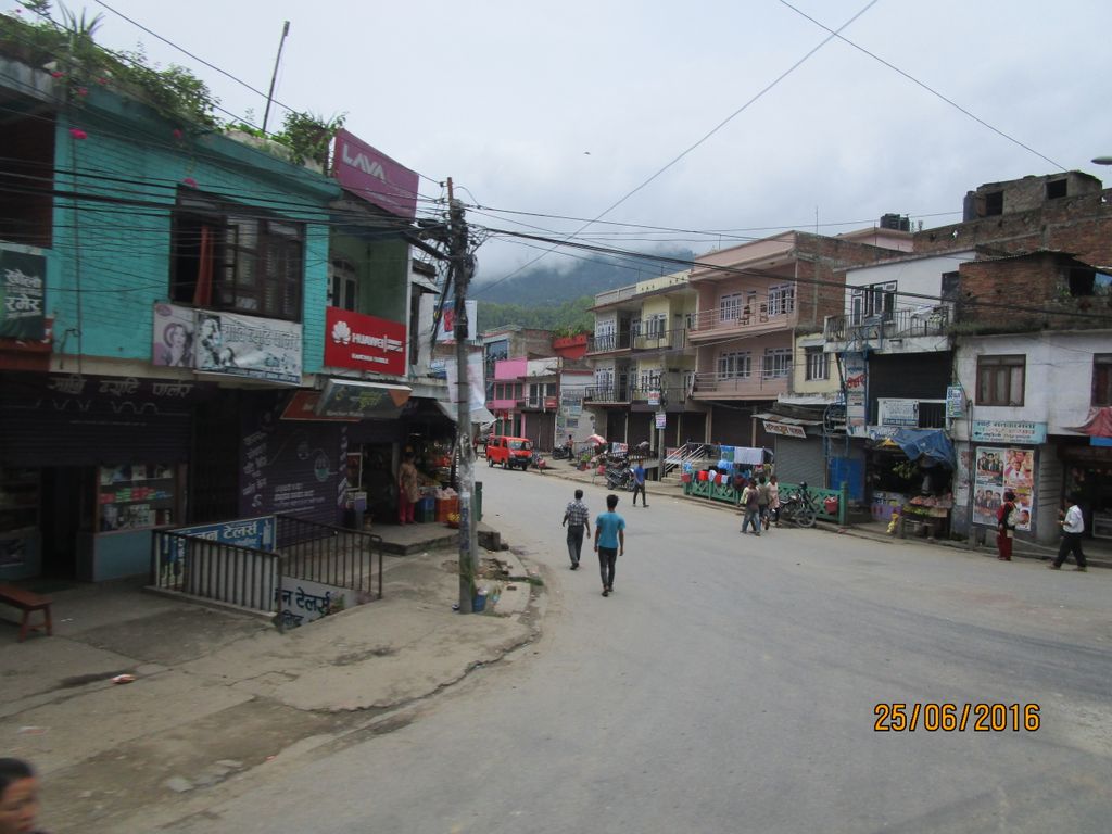
Anbu Khaireni (also Aanbu Khaireni, Aanboo Khaireni or Anbukhaireni) (Nepali: आँबुखैरेनि गाउँपालिका) is a rural municipality in Tanahu District in the Gandaki Province of central Nepal which was established in 2015. At the time of the 1991 Nepal census it had a population of 11,450 people living in 2234 individual households. In the census of 2011 the municipality has 16,382 inhabitants. In 2017, the Government of Nepal restructured the local level bodies into 753 new local level units, at that time the former Anbu Khaireni Municipality restableshed as a rural municipality with same name. The former Chhimkeshwari and Deurali VDCs also were incorporated with this new rural municipality. The rural municipality rearranged into 6 wards. The Andhi Khola River flows nearby. On its right bank is Satrasaya Phant, which was once a dense forest. The Anpu copper mines lie within a kilometre from the village. To promote local culture Anbu khaireni has one FM radio station Mero Sathi FM - 107.2 MHz which is a Community radio station. And Anboo Khaireni hospital with 15 bed facility is also established in 2023 A.D. with the effort of chairperson Shukra Chuman Chettri. Famous Aaina Pahara is also situated here which is also renovated now by chairperson putting it as a "Dream Project" of Aanboo Khaireni Rural Municipality.
We use GPS information embedded into the photo when it is available.
3D mountains overlay
Adjust mountain panorama to perfectly match your photos because recorded by camera photo position might be imprecise.
Move tool
Rotate tool
Zoom
More customization
Choose which peak labels should make into the final photo and what photo title should be.
Next
Photo Location
Satellitte
Flat map
Relief map
Latitude
Longitude
Altitude
OR
Latitude
°'''
Longitude
°'''
Apply
Register Peak
Peak Name
Latitude
Longitude
Altitude
Register
Teleport
PeakVisor
This 3D model of Sagarmatha National Park in Nepal was made using the PeakVisor app topographic data. The mobile app features higher precision models worldwide, more topographic details, and works offline. Download PeakVisor maps today.
Download OBJ model
PeakVisor
The download should start shortly. If you find it useful please consider supporting the PeakVisor app.
PeakVisor for iOS and Android
Be a superhero of outdoor navigation with state-of-the-art 3D maps and mountain identification in the palm of your hand!