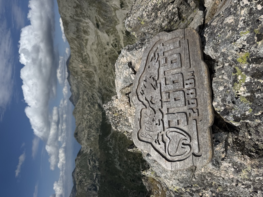
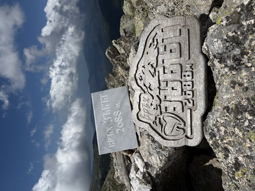
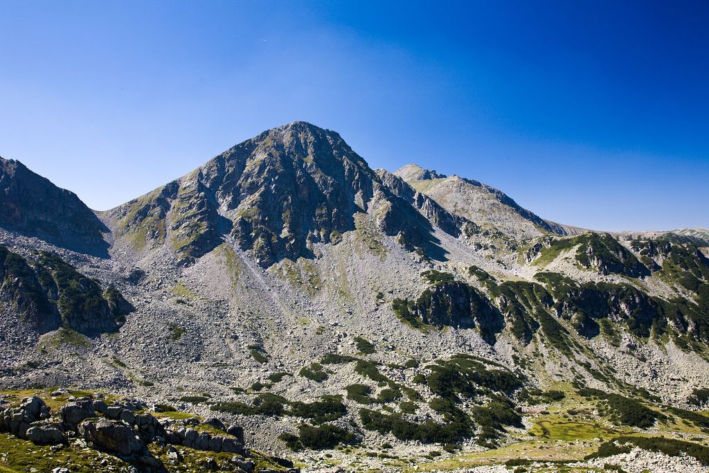
Zabat (Bulgarian: Зъбът, meaning The Fang) is a 2,688 m high peak in the Pirin mountain range, south-western Bulgaria. Built up of granite, it is located in the northern part of Pirin in the central section of the Kamenitsa secondary ridge. Seen from Begovitsa cirque its shape resembles a tooth, hence its name.
To the north and northwest of summit peak stretches the pebbly Begovitsa cirque. The slopes in that direction are steep and rocky opening to a vast area of rocks. South of Zabat are the lush pastures of the Bashmandra cirque, where the slopes are significantly more oblique and covered with grass. There are several cold springs, which give rise to the Bashmandra river, a tribute of the Pirinska Bistritsa. To the east of Zabat on the Kamenitsa secondary ridge is located the summit Yalovarnika (2,763 m), connected via a short easy-to-pass saddle that divides the cirques Bashmandra and Begovitsa. To the south-southwest of Zabat along the ridge is the massif Kuklite (2,686 m). The saddle connecting them is quite steep and short near Zabat and much longer and oblique towards Kuklite. A marked trail between Begovitsa and Demyanitsa refuge follows the saddle.
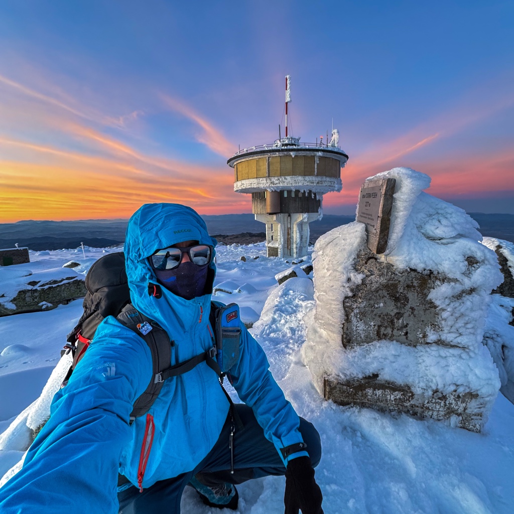
There's a trail leading to the summit.
By elevation Zbt is
# 33 out of 93 in Pirin National Park # 40 out of 451 in Blagoevgrad # 65 out of 4517 in Bulgaria # 65 out of 3579 in the Bulgarian Ranges
By prominence Zbt is
# 20 out of 93 in Pirin National Park # 74 out of 451 in Blagoevgrad
We use GPS information embedded into the photo when it is available.
3D mountains overlay
Adjust mountain panorama to perfectly match your photos because recorded by camera photo position might be imprecise.
Move tool
Rotate tool
Zoom
More customization
Choose which peak labels should make into the final photo and what photo title should be.
Next
Photo Location
Satellitte
Flat map
Relief map
Latitude
Longitude
Altitude
OR
Latitude
°'''
Longitude
°'''
Apply
Register Peak
Peak Name
Latitude
Longitude
Altitude
Register
Teleport
PeakVisor
This 3D model of Sagarmatha National Park in Nepal was made using the PeakVisor app topographic data. The mobile app features higher precision models worldwide, more topographic details, and works offline. Download PeakVisor maps today.
Download OBJ model
PeakVisor
The download should start shortly. If you find it useful please consider supporting the PeakVisor app.
PeakVisor for iOS and Android
Be a superhero of outdoor navigation with state-of-the-art 3D maps and mountain identification in the palm of your hand!