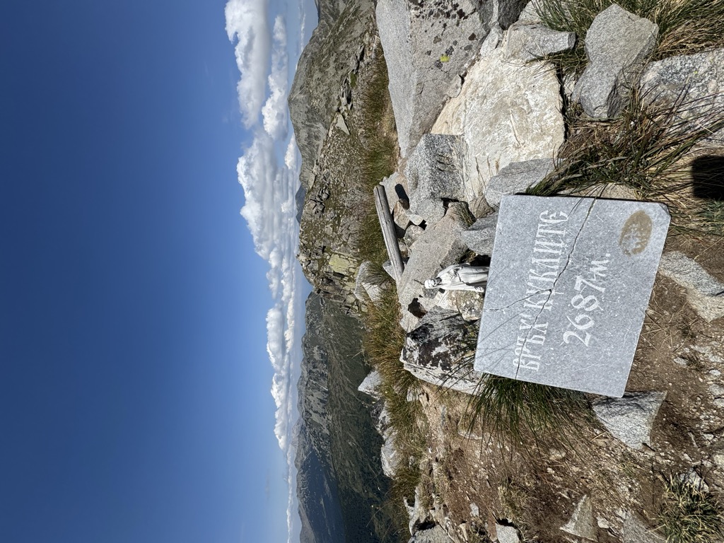
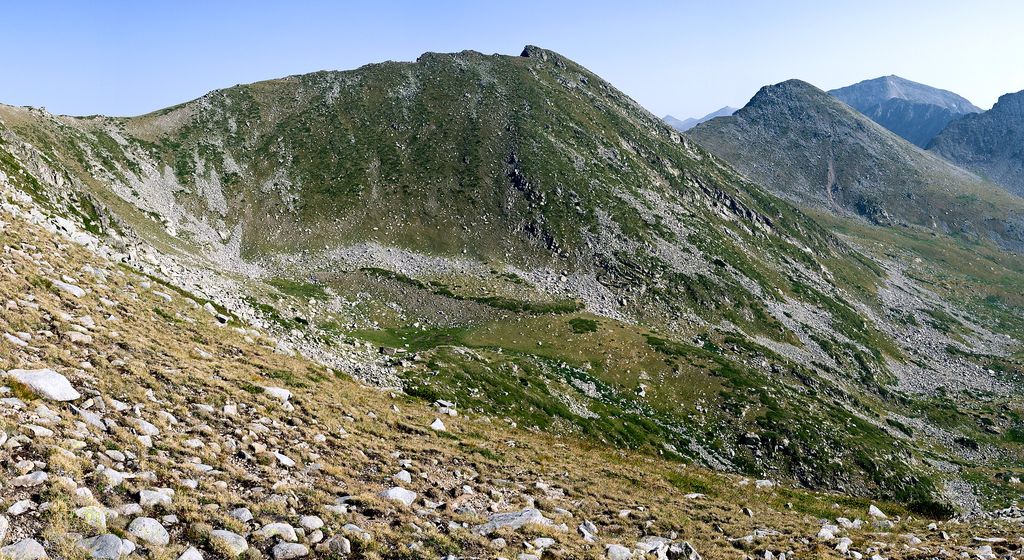
Kuklite (Bulgarian: Куклите [ˈkuklitɛ]) is a 2,686 m-high peak in the Pirin mountain range, south-western Bulgaria. It is located in the northern part of Pirin on the Kamenitsa secondary ridge between the summits of Yalovarnika (2,763 m), Zabat (2,688 m) to the north-east and Golena (2,633 m) to the south. It is built up of granite. The western and north-western slopes of Kuklite are very steep and are open to the pebbly Begovitsa cirque; the foothills contain accumulations of moraines, densely covered in mountain pine (Pinus mugo) at places. The eastern and south-eastern slopes facing the Bashmandra cirque are grassy and oblique. The Begovishko glacial lake is situated at the northern foothills of the summit.
The most convenient starting point for ascending Kulklite is Begovitsa refuge via trails passing through Begovishko lake and the saddle between Kuklite and Zabat. Another trail starts from Pirin refuge and goes through Bashmandra cirque.
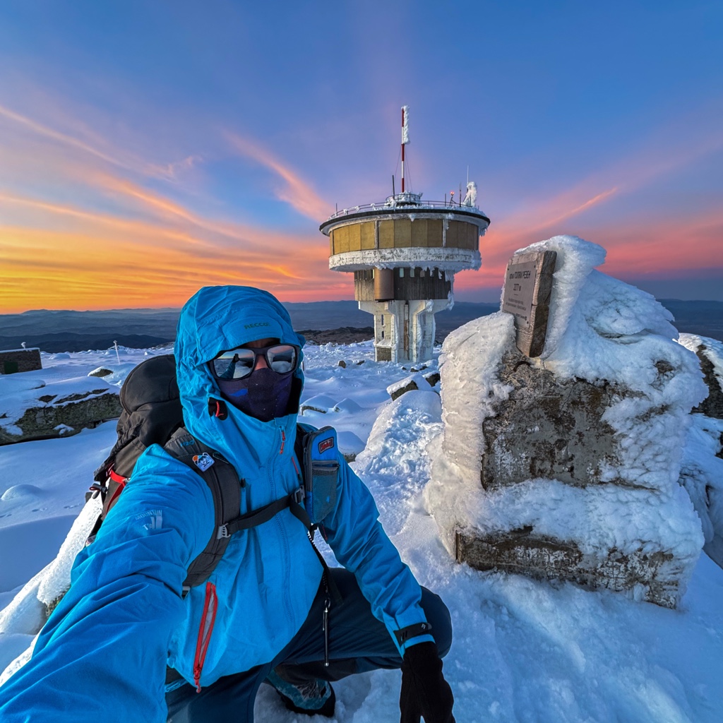
There's a trail leading to the summit.
By elevation Kuklite is
# 30 out of 93 in Pirin National Park # 37 out of 451 in Blagoevgrad # 58 out of 4517 in Bulgaria # 58 out of 3579 in the Bulgarian Ranges
By prominence Kuklite is
# 11 out of 93 in Pirin National Park # 44 out of 451 in Blagoevgrad
We use GPS information embedded into the photo when it is available.
3D mountains overlay
Adjust mountain panorama to perfectly match your photos because recorded by camera photo position might be imprecise.
Move tool
Rotate tool
Zoom
More customization
Choose which peak labels should make into the final photo and what photo title should be.
Next
Photo Location
Satellitte
Flat map
Relief map
Latitude
Longitude
Altitude
OR
Latitude
°'''
Longitude
°'''
Apply
Register Peak
Peak Name
Latitude
Longitude
Altitude
Register
Teleport
PeakVisor
This 3D model of Sagarmatha National Park in Nepal was made using the PeakVisor app topographic data. The mobile app features higher precision models worldwide, more topographic details, and works offline. Download PeakVisor maps today.
Download OBJ model
PeakVisor
The download should start shortly. If you find it useful please consider supporting the PeakVisor app.
PeakVisor for iOS and Android
Be a superhero of outdoor navigation with state-of-the-art 3D maps and mountain identification in the palm of your hand!