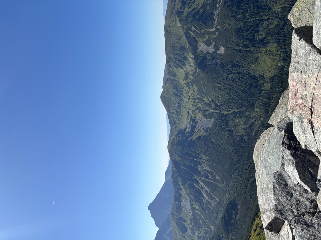
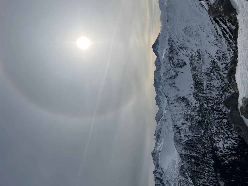
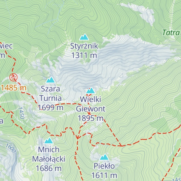
Giewont (Polish pronunciation: [ˈɡʲɛvɔnt] ) is a mountain massif in the Tatra Mountains of Poland. Its highest peak, Great Giewont (Wielki Giewont), is 1,894 metres (6,214 ft)1,894 metres (6,217 ft) above sea level and the highest peak of the Western Tatras (Polish: Tatry Zachodnie) located entirely within Poland's borders. The mountain is regarded as the symbol of Zakopane, the Polish Tatras and Podhale, which throughout history has been the subject of many legends, poems and works of art.
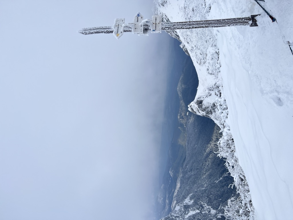
There's a demading hiking trail (T3) leading to the summit. Wielki Giewont is one of the 1 peaks along the Brylówka - Giewont.
The nearest mountain hut is Schronisko PTTK Hala Kondratowa located 1 278m/4 192ft E of the summit.
By prominence Wielki Giewont is
# 11 out of 362 in Tatrzański Park Narodowy # 63 out of 4100 in Lesser Poland Voivodeship # 13 out of 476 in powiat tatrzański # 34 out of 745 in the Tatra Mountains
We use GPS information embedded into the photo when it is available.
3D mountains overlay
Adjust mountain panorama to perfectly match your photos because recorded by camera photo position might be imprecise.
Move tool
Rotate tool
Zoom
More customization
Choose which peak labels should make into the final photo and what photo title should be.
Next
Photo Location
Satellitte
Flat map
Relief map
Latitude
Longitude
Altitude
OR
Latitude
°'''
Longitude
°'''
Apply
Register Peak
Peak Name
Latitude
Longitude
Altitude
Register
Teleport
PeakVisor
This 3D model of Sagarmatha National Park in Nepal was made using the PeakVisor app topographic data. The mobile app features higher precision models worldwide, more topographic details, and works offline. Download PeakVisor maps today.
Download OBJ model
PeakVisor
The download should start shortly. If you find it useful please consider supporting the PeakVisor app.
PeakVisor for iOS and Android
Be a superhero of outdoor navigation with state-of-the-art 3D maps and mountain identification in the palm of your hand!