Werneth Low (; WUR-nəth) is a hill in Greater Manchester, England, and a part of the Pennines. It is located on the border of Stockport and Tameside, rising to a height of 279 metres (915 ft). The villages of Woodley, Greave, Gee Cross, Mottram and Romiley lie on the sides of the low.
The term "low" does not refer to any lack of altitude, it being a northern English word for hill.
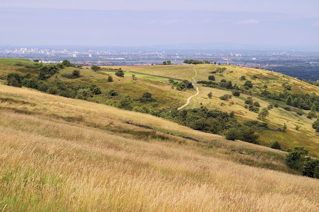
Werneth Low offers panoramic views over the Greater Manchester Urban Area and, in clear weather, the Winter Hill transmitting station can be seen from here. To the south, Stockport town centre, part of Wythenshawe in south Manchester and the Welsh mountains can be viewed in clear weather.
The majority of Werneth Low is administered jointly by Hyde War Memorial Trust and Tameside Council. The trust organises the Remembrance and Peace day services. It was established to be the guardian of Werneth Low, to keep it "For the people of Hyde" and provide a lasting monument to the 710 men of Hyde who perished in World War I.
Various landmarks can be seen from the top of Werneth Low, including: Manchester's Deansgate Square, Beetham Tower, the Oldham Civic Centre and Jodrell Bank Observatory's radio telescope (visible from the south-western end of the hilltop).
We use GPS information embedded into the photo when it is available.
3D mountains overlay
Adjust mountain panorama to perfectly match your photos because recorded by camera photo position might be imprecise.
Move tool
Rotate tool
Zoom
More customization
Choose which peak labels should make into the final photo and what photo title should be.
Next
Photo Location
Satellitte
Flat map
Relief map
Latitude
Longitude
Altitude
OR
Latitude
°'''
Longitude
°'''
Apply
Register Peak
Peak Name
Latitude
Longitude
Altitude
Register
Teleport
PeakVisor
This 3D model of Sagarmatha National Park in Nepal was made using the PeakVisor app topographic data. The mobile app features higher precision models worldwide, more topographic details, and works offline. Download PeakVisor maps today.
Download OBJ model
PeakVisor
The download should start shortly. If you find it useful please consider supporting the PeakVisor app.
PeakVisor for iOS and Android
Be a superhero of outdoor navigation with state-of-the-art 3D maps and mountain identification in the palm of your hand!