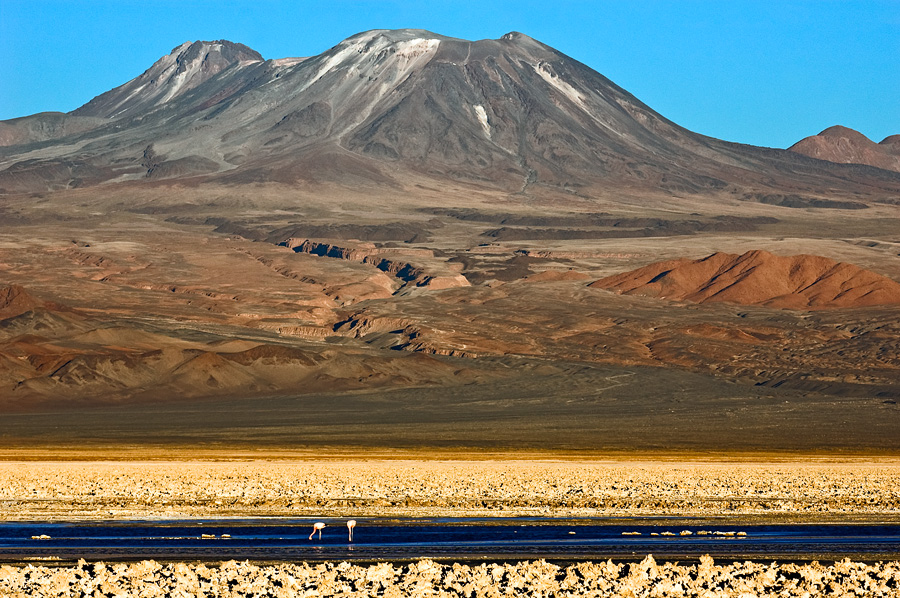
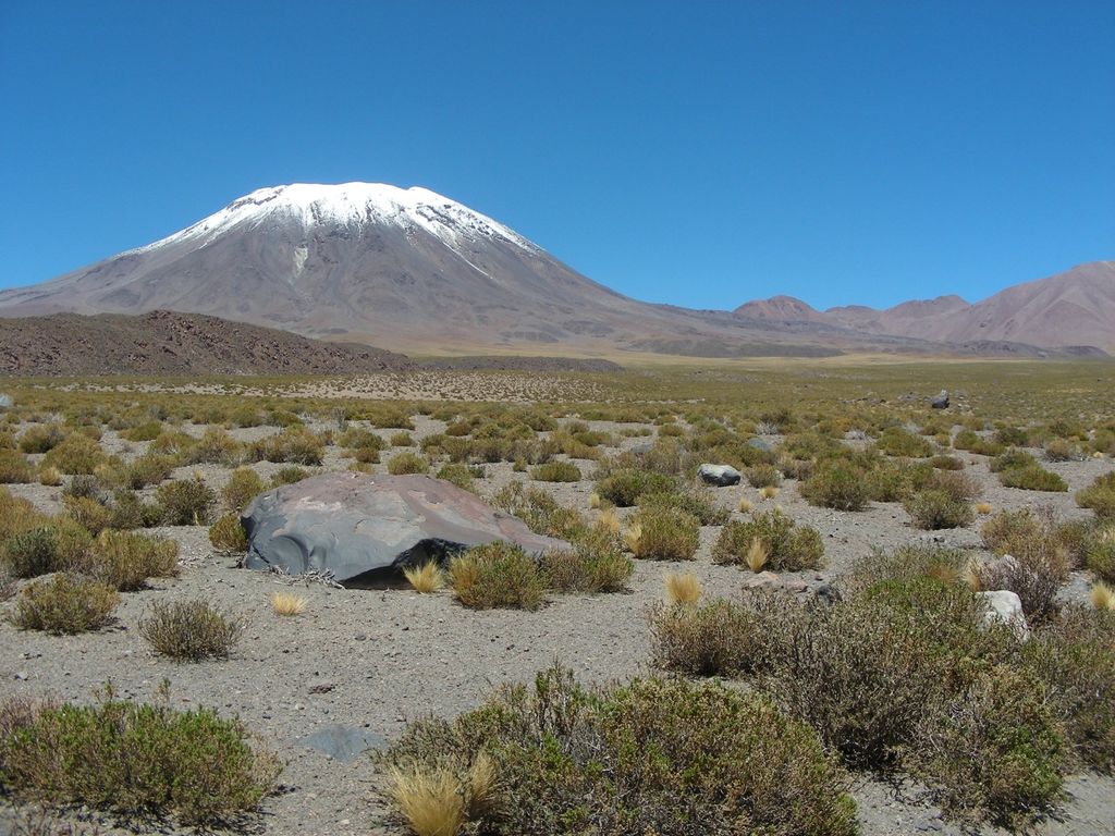
Lascar is a stratovolcano in Chile within the Central Volcanic Zone of the Andes, a volcanic arc that spans Peru, Bolivia, Argentina and Chile. It is the most active volcano in the region, with records of eruptions going back to 1848. It is composed of two separate cones with several summit craters. The westernmost crater of the eastern cone is presently active. Volcanic activity is characterized by constant release of volcanic gas and occasional vulcanian eruptions.
Lascar has been active since at least 56,000 years ago, though some argue for activity beginning 220,000 years ago. The first known activity occurred at the eastern cone and was characterized by lava flows, before shifting to the western cone where lava domes were emplaced. An eruption event known as Piedras Grandes was followed by the large Soncor eruption. A new western edifice was constructed on top of the Soncor vent, during the Holocene activity then shifted again to the eastern edifice and continues there to this day. The magma supplied to the volcano ultimately comes from the subduction of the Nazca Plate beneath the South America Plate. A number of other volcanoes are found in the region, such as Aguas Calientes, Cordon de Puntas Negras and the giant La Pacana caldera.
The volcano experienced at least three major eruptions throughout its history: One is the Soncor eruption about 26,450 ± 500 years ago, another in 7,250 BCE and the third in 1993. The first of these eruptions released 10–15 cubic kilometres (2.4–3.6 cu mi) of material and is known as the Soncor eruption. The largest eruption of Lascar known to recorded history occurred in April 1993 and caused ash fall as far away as Buenos Aires. Because Lascar is located in a remote area, it is monitored primarily by remote sensing. Explosive eruptions are the greatest hazard at Lascar.
There's a trail leading to the summit.
By elevation Volcán Láscar is
# 60 out of 410 in Provincia de El Loa # 64 out of 973 in Región de Antofagasta
By prominence Volcán Láscar is
# 56 out of 410 in Provincia de El Loa # 76 out of 973 in Región de Antofagasta
We use GPS information embedded into the photo when it is available.
3D mountains overlay
Adjust mountain panorama to perfectly match your photos because recorded by camera photo position might be imprecise.
Move tool
Rotate tool
Zoom
More customization
Choose which peak labels should make into the final photo and what photo title should be.
Next
Photo Location
Satellitte
Flat map
Relief map
Latitude
Longitude
Altitude
OR
Latitude
°'''
Longitude
°'''
Apply
Register Peak
Peak Name
Latitude
Longitude
Altitude
Register
Teleport
PeakVisor
This 3D model of Sagarmatha National Park in Nepal was made using the PeakVisor app topographic data. The mobile app features higher precision models worldwide, more topographic details, and works offline. Download PeakVisor maps today.
Download OBJ model
PeakVisor
The download should start shortly. If you find it useful please consider supporting the PeakVisor app.
PeakVisor for iOS and Android
Be a superhero of outdoor navigation with state-of-the-art 3D maps and mountain identification in the palm of your hand!