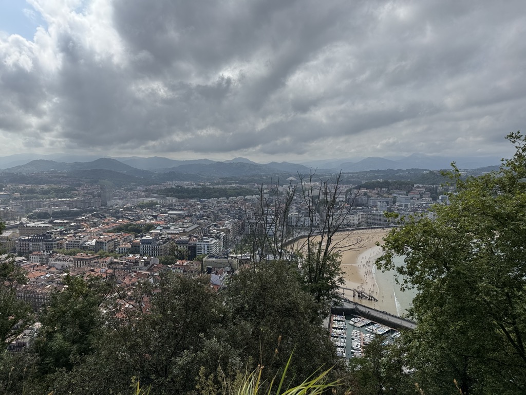
Urgull is a prominent hill located in the Basque city of San Sebastián, Gipuzkoa, Spain. It has a peak elevation of 123 meters and is a defining feature of the city's coastal topography along with Mount Ulia and Igeldo. Urgull is situated between the old town and the Paseo Nuevo, at the eastern end of La Concha Bay, and is one of the city’s biggest green spaces.
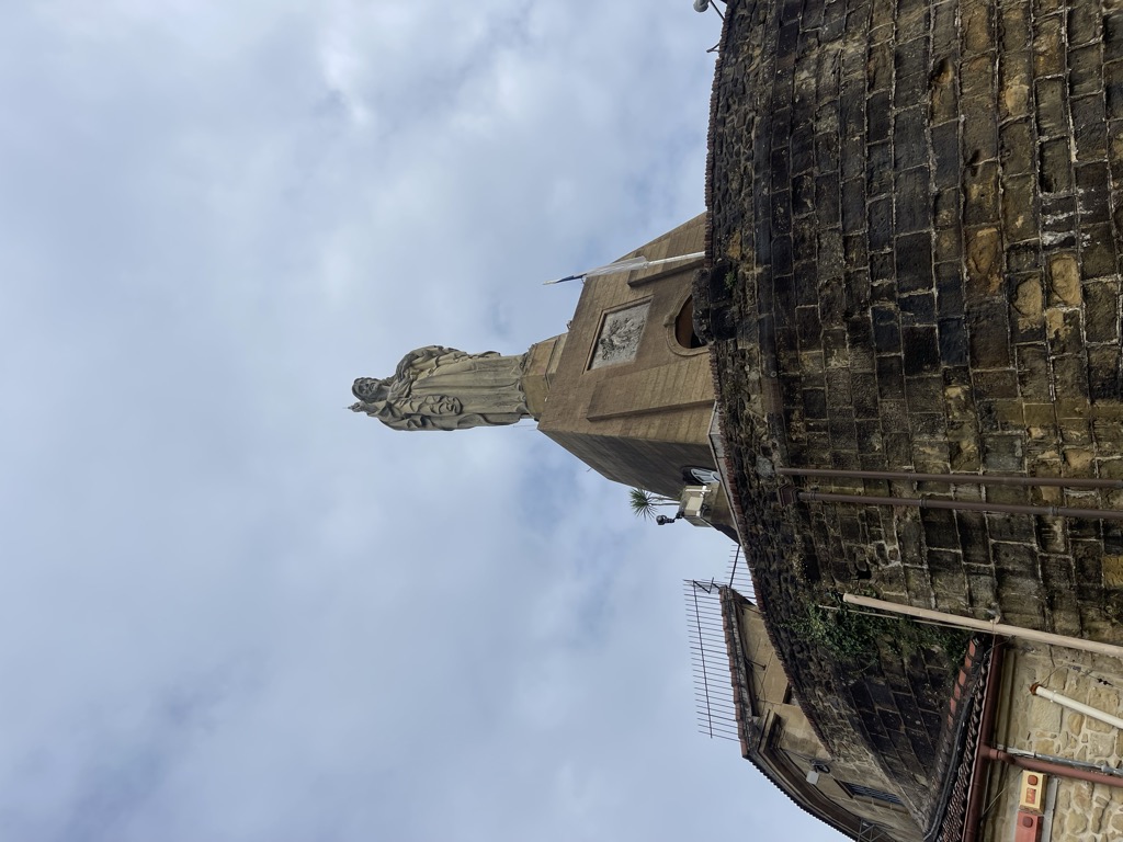
The hill served as a strategic defense point during the 12th century. With the establishment of modern state boundaries in the 16th century, the fortifications on the hill were reinforced. At its summit stands Mota Castle, whose features include headquarters, barracks, warehouses, a chapel, and a 12-meter-long sculpture of Jesus Christ added in 1950.
Urgull played a notable role in military operations, including the Siege of San Sebastián in 1813 and various assaults during the Carlist Wars in 1823, 1836, and 1876. However, as San Sebastián transformed into a tourist resort, the hill lost its military importance and was sold to the city council in 1924. Today, Urgull is primarily covered in trees, with military structures and promenades offering views over the bay and the city. The historic stronghold at the summit now houses a history museum, which is part of the San Telmo Museoa located at the southeastern access of the hill.
We use GPS information embedded into the photo when it is available.
3D mountains overlay
Adjust mountain panorama to perfectly match your photos because recorded by camera photo position might be imprecise.
Move tool
Rotate tool
Zoom
More customization
Choose which peak labels should make into the final photo and what photo title should be.
Next
Photo Location
Satellitte
Flat map
Relief map
Latitude
Longitude
Altitude
OR
Latitude
°'''
Longitude
°'''
Apply
Register Peak
Peak Name
Latitude
Longitude
Altitude
Register
Teleport
PeakVisor
This 3D model of Sagarmatha National Park in Nepal was made using the PeakVisor app topographic data. The mobile app features higher precision models worldwide, more topographic details, and works offline. Download PeakVisor maps today.
Download OBJ model
PeakVisor
The download should start shortly. If you find it useful please consider supporting the PeakVisor app.
PeakVisor for iOS and Android
Be a superhero of outdoor navigation with state-of-the-art 3D maps and mountain identification in the palm of your hand!