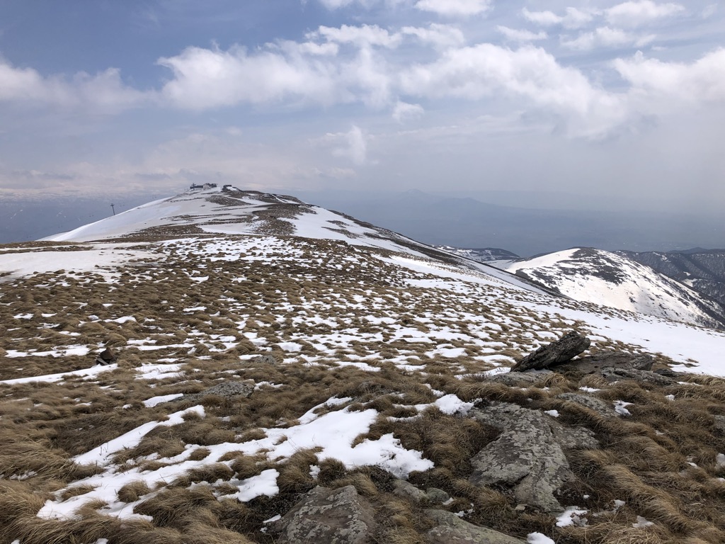
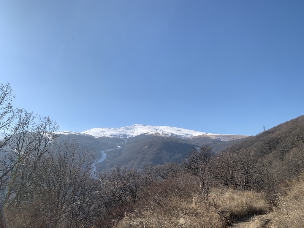
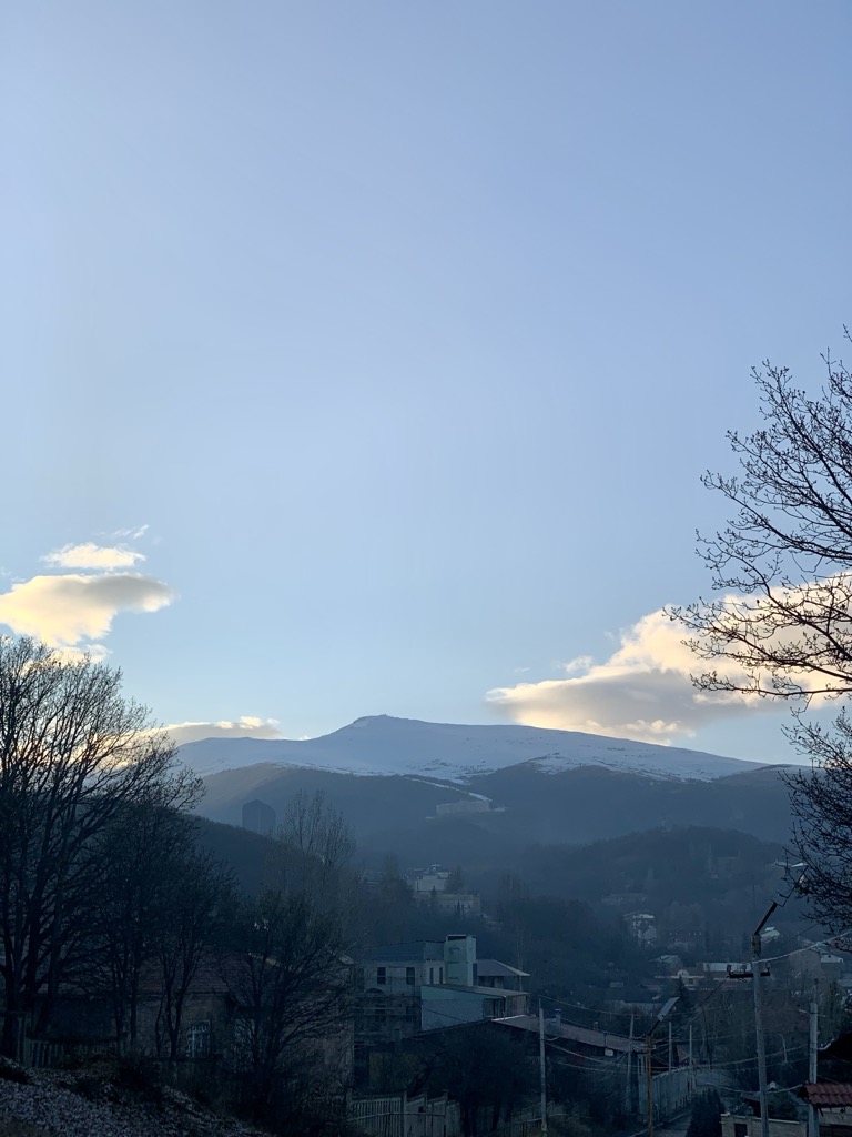
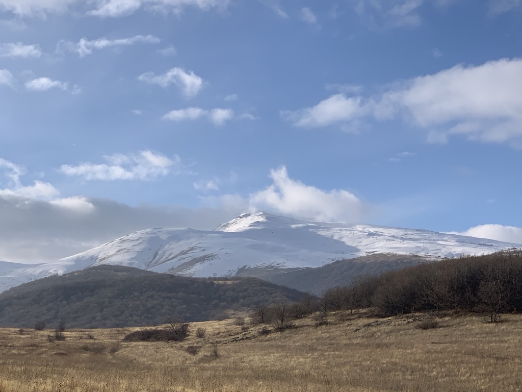
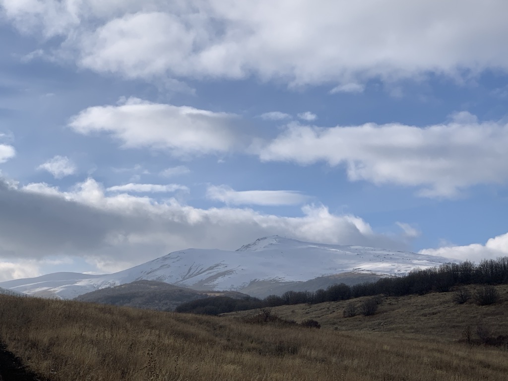
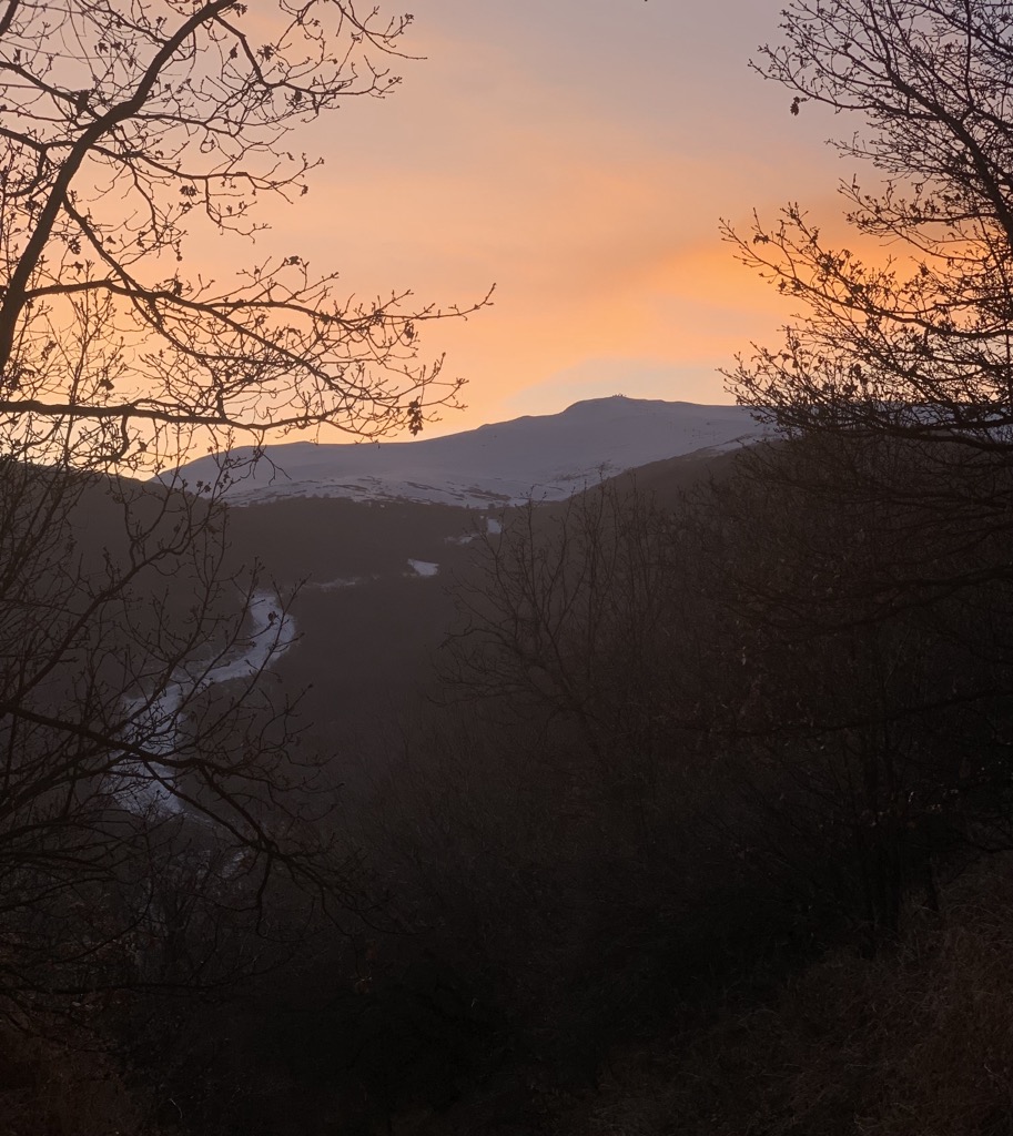
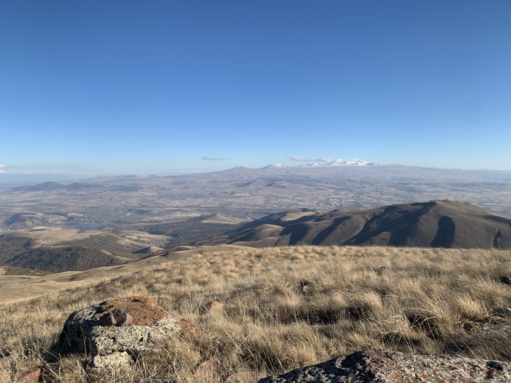
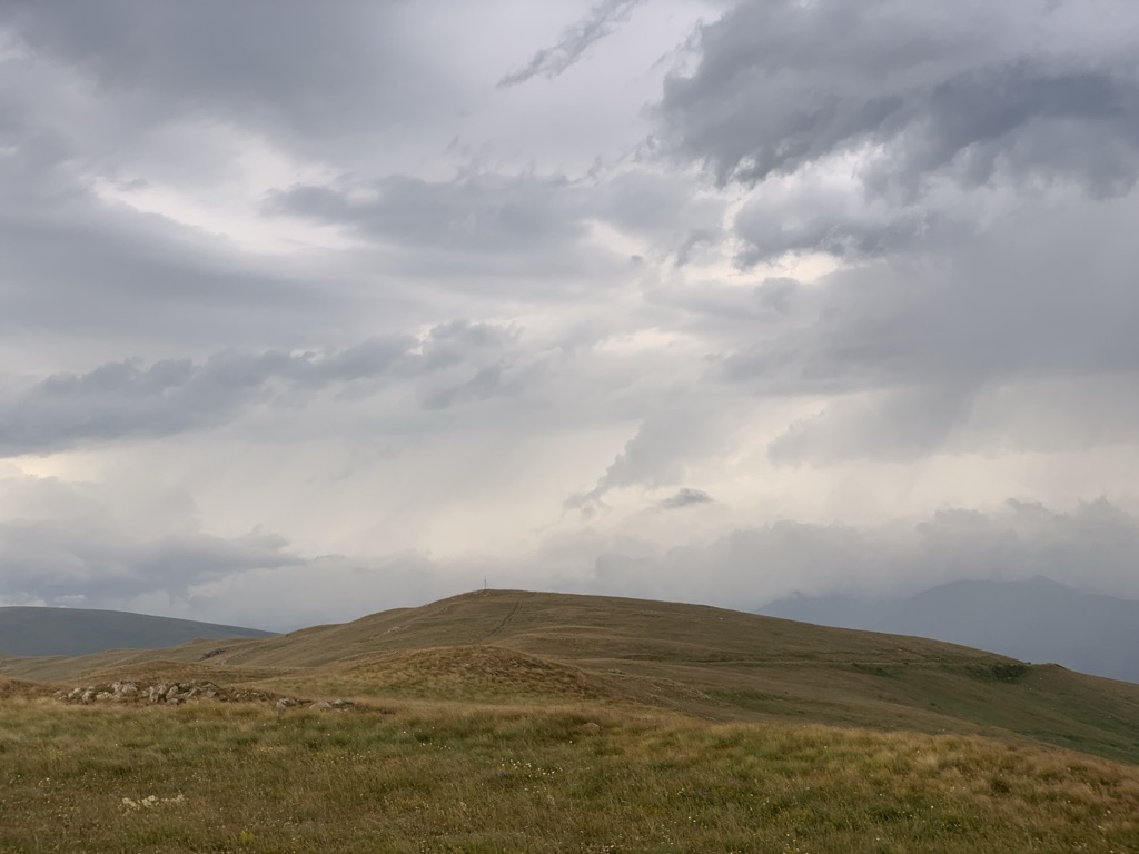
Tsaghkunyats Mountains (or Tsaghkunyats Ridge), Armenian: Ծաղկունյաց լեռնաշղթա (Tsaghkunyats lernasheghta), are a range of mountains in Armenia, mainly in the provinces of Kotayk and Aragatsotn.
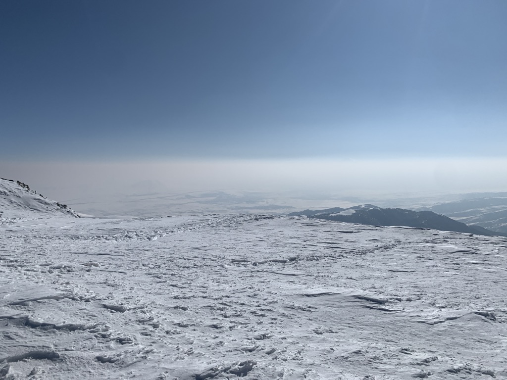
The range is of volcanic origin including many extinct volcanoes. It has a length of 42 km, stretched between Pambak Mountains near the village of Mijnatun at the north, and the right bank of Hrazdan River to the southeast. The highest peak of the Tsaghkunyats Mountains is Mount Teghenis near Tsaghkadzor, at 2851 meters. The range is formed by a volcanic field, containing Pleistocene-to-Holocene lava domes and cinder cones.
The area is a popular mountain resort with its spa towns and villages, including Tsaghkadzor, Hankavan, Bjni, Arzakan and Aghveran.
We use GPS information embedded into the photo when it is available.
3D mountains overlay
Adjust mountain panorama to perfectly match your photos because recorded by camera photo position might be imprecise.
Move tool
Rotate tool
Zoom
More customization
Choose which peak labels should make into the final photo and what photo title should be.
Next
Photo Location
Satellitte
Flat map
Relief map
Latitude
Longitude
Altitude
OR
Latitude
°'''
Longitude
°'''
Apply
Register Peak
Peak Name
Latitude
Longitude
Altitude
Register
Teleport
PeakVisor
This 3D model of Sagarmatha National Park in Nepal was made using the PeakVisor app topographic data. The mobile app features higher precision models worldwide, more topographic details, and works offline. Download PeakVisor maps today.
Download OBJ model
PeakVisor
The download should start shortly. If you find it useful please consider supporting the PeakVisor app.
PeakVisor for iOS and Android
Be a superhero of outdoor navigation with state-of-the-art 3D maps and mountain identification in the palm of your hand!