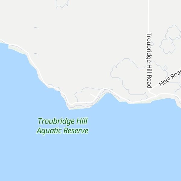
Troubridge Hill is a hill on the south coast of Yorke Peninsula in South Australia located in the locality of Honiton about 13.5 kilometres (8.4 miles) south west of Edithburgh and about 3.8 kilometres (2.4 miles) west of Troubridge Point. It was discovered, reported as being a ’hummock upon this low part (of the coastline)’ and named by Matthew Flinders on 24 March 1802 after Sir Thomas Troubridge, 1st Baronet. Since 1980, it has been the site of an operating lighthouse known as the Troubridge Hill Lighthouse. Its adjoining coastline borders a protected area of the same name - the Troubridge Hill Aquatic Reserve.
There's a trail leading to the summit.
By elevation Troubridge Hill is
# 1 out of 1 in Troubridge Hill Aquatic Reserve # 19 out of 26 in Yorke Peninsula Council
By prominence Troubridge Hill is
# 1 out of 1 in Troubridge Hill Aquatic Reserve # 12 out of 26 in Yorke Peninsula Council
We use GPS information embedded into the photo when it is available.
3D mountains overlay
Adjust mountain panorama to perfectly match your photos because recorded by camera photo position might be imprecise.
Move tool
Rotate tool
Zoom
More customization
Choose which peak labels should make into the final photo and what photo title should be.
Next
Photo Location
Satellitte
Flat map
Relief map
Latitude
Longitude
Altitude
OR
Latitude
°'''
Longitude
°'''
Apply
Register Peak
Peak Name
Latitude
Longitude
Altitude
Register
Teleport
PeakVisor
This 3D model of Sagarmatha National Park in Nepal was made using the PeakVisor app topographic data. The mobile app features higher precision models worldwide, more topographic details, and works offline. Download PeakVisor maps today.
Download OBJ model
PeakVisor
The download should start shortly. If you find it useful please consider supporting the PeakVisor app.
PeakVisor for iOS and Android
Be a superhero of outdoor navigation with state-of-the-art 3D maps and mountain identification in the palm of your hand!