Situated in the Ódáðahraun lava field, Trölladyngja (Icelandic pronunciation: [ˈtʰrœtlaˌtiɲca] ) is the biggest of the Icelandic shield volcanoes, reaching a height of 1,460 metres (4,790 ft) above sea level, and rising almost 600 m (2,000 ft) above the surrounding desert and lava fields. It part of the Bárðarbunga volcanic system and has a volume of 15 km3 (3.6 cu mi) with some extensive lava flows to the north of Bárðarbunga.
It is about 10 km (6.2 mi)in diameter and its inclination is 4 to 5° in the lower slopes, but 6 to 8° at higher elevations. Its oblong crater is about 1,200 to 1,500 m (3,900 to 4,900 ft) in length, 500 m (1,600 ft) broad, and about 100 m (330 ft) deep.
Most of its tholeiitic basalt lava fields have flowed in a northerly direction, and the definite lava field has been dated at less than 4500 years old. Composition studies allow the separation of Trölladyngja lavas with their Bárðarbunga associations from other nearby older and younger Bárðarbunga basaltic lavas. This includes a Bárðarbunga volcanic system origin lava field branch, that possibly erupted from the fissure swarm south of Trölladyngja before 8000 years ago, that reached the valley of Bárðardalur, a distance of roughly 100 km (62 mi) and quite close to the northern Iceland sea coast. The shield volcano itself is situated north of latitude 64.7° where the strike direction of the fissure swarms formed in the last 10 million years and the 2014 dyke intrusion from Bárðarbunga towards the north have the orientation of the Northern volcanic zone. The Bárðarbunga central volcano to the south is definitely in the Eastern volcanic zone.
Reports of an eruption in 1961 at Trölladyngja are most likely attributed to nearby Askja Caldera, which erupted the same year. A potential confusion also exists geographically as in the distant past the name Trölladyngja had been used by some when writing about the Askja (Dynjufjöll, Dyngjufjall) volcanic system The volcano can now be definitely assigned to the Bárðarbunga volcanic system. The volcano and its lava flows overlay older lava that is about 8000 years old.
By elevation Trölladyngja is
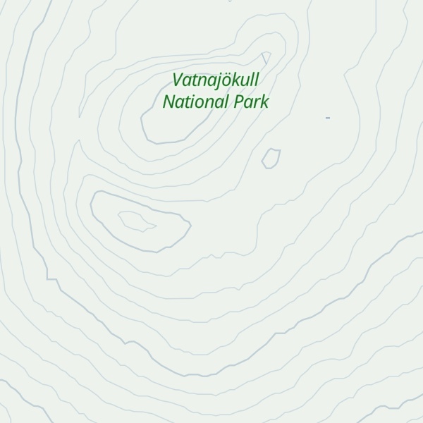
# 46 out of 4145 in Iceland # 2 out of 132 in Þingeyjarsveit # 35 out of 236 in Vatnajökull National Park # 46 out of 4145 in the Iceland
By prominence Trölladyngja is
# 3 out of 132 in Þingeyjarsveit # 10 out of 236 in Vatnajökull National Park
We use GPS information embedded into the photo when it is available.
3D mountains overlay
Adjust mountain panorama to perfectly match your photos because recorded by camera photo position might be imprecise.
Move tool
Rotate tool
Zoom
More customization
Choose which peak labels should make into the final photo and what photo title should be.
Next
Photo Location
Satellitte
Flat map
Relief map
Latitude
Longitude
Altitude
OR
Latitude
°'''
Longitude
°'''
Apply
Register Peak
Peak Name
Latitude
Longitude
Altitude
Register
Teleport
PeakVisor
This 3D model of Sagarmatha National Park in Nepal was made using the PeakVisor app topographic data. The mobile app features higher precision models worldwide, more topographic details, and works offline. Download PeakVisor maps today.
Download OBJ model
PeakVisor
The download should start shortly. If you find it useful please consider supporting the PeakVisor app.
PeakVisor for iOS and Android
Be a superhero of outdoor navigation with state-of-the-art 3D maps and mountain identification in the palm of your hand!


.jpg)