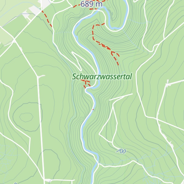
The Teufelsmauer is a rock massif in the valley of the Black Pockau between Pobershau and Germany's state border with the Czech Republic. It is made of red and gray gneiss. The valley is also known as the Schwarzwasser ("Black Water"). The countryside is very attractive. A channel called the Grüne Graben ("Green Ditch") runs down the western slopes of the valley that used to provide the necessary water for the mines near Pobershau.
The Teufelsmauer is known today for its rock climbing.
There's a trail called Schwarzwassertalstraße leading to the summit. Teufelsmauer is one of the 1 peaks along the Schwarzer Pockautalwanderweg.
The nearest mountain hut is null located 541m/1 776ft ENE of the summit.
We use GPS information embedded into the photo when it is available.
3D mountains overlay
Adjust mountain panorama to perfectly match your photos because recorded by camera photo position might be imprecise.
Move tool
Rotate tool
Zoom
More customization
Choose which peak labels should make into the final photo and what photo title should be.
Next
Photo Location
Satellitte
Flat map
Relief map
Latitude
Longitude
Altitude
OR
Latitude
°'''
Longitude
°'''
Apply
Register Peak
Peak Name
Latitude
Longitude
Altitude
Register
Teleport
PeakVisor
This 3D model of Sagarmatha National Park in Nepal was made using the PeakVisor app topographic data. The mobile app features higher precision models worldwide, more topographic details, and works offline. Download PeakVisor maps today.
Download OBJ model
PeakVisor
The download should start shortly. If you find it useful please consider supporting the PeakVisor app.
PeakVisor for iOS and Android
Be a superhero of outdoor navigation with state-of-the-art 3D maps and mountain identification in the palm of your hand!