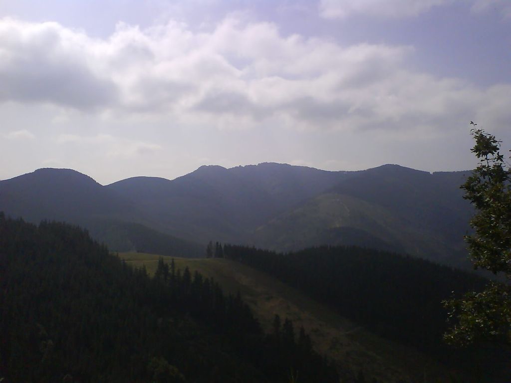
Tellamendi, also referred to as Belamendi, is a mountain situated in the Basque Mountains in the Álava province of Basque Country in Spain. It has an altitude of 834 metres (2,736 ft), though this has been disputed and also claimed to be 827 metres (2,713 ft). It is situated at the base of Anboto (1331 m) as part of the grassy mountain range towards the south-west that comes off Zabalaundi (895 m). The range shifts direction after reaching Tellamendi to the north towards Besaide.
There's a hiking trail (T1) leading to the summit. Tellamendi is one of the 49 peaks along the multi-day GR 123 Vuelta a Bizkaia / Bizkaiko bira.
By elevation Tellamendi is
# 43 out of 97 in Urkiolako parke naturala/Parque Natural de Urkiola
By prominence Tellamendi is
# 94 out of 1128 in Álava # 12 out of 97 in Urkiolako parke naturala/Parque Natural de Urkiola
We use GPS information embedded into the photo when it is available.
3D mountains overlay
Adjust mountain panorama to perfectly match your photos because recorded by camera photo position might be imprecise.
Move tool
Rotate tool
Zoom
More customization
Choose which peak labels should make into the final photo and what photo title should be.
Next
Photo Location
Satellitte
Flat map
Relief map
Latitude
Longitude
Altitude
OR
Latitude
°'''
Longitude
°'''
Apply
Register Peak
Peak Name
Latitude
Longitude
Altitude
Register
Teleport
PeakVisor
This 3D model of Sagarmatha National Park in Nepal was made using the PeakVisor app topographic data. The mobile app features higher precision models worldwide, more topographic details, and works offline. Download PeakVisor maps today.
Download OBJ model
PeakVisor
The download should start shortly. If you find it useful please consider supporting the PeakVisor app.
PeakVisor for iOS and Android
Be a superhero of outdoor navigation with state-of-the-art 3D maps and mountain identification in the palm of your hand!