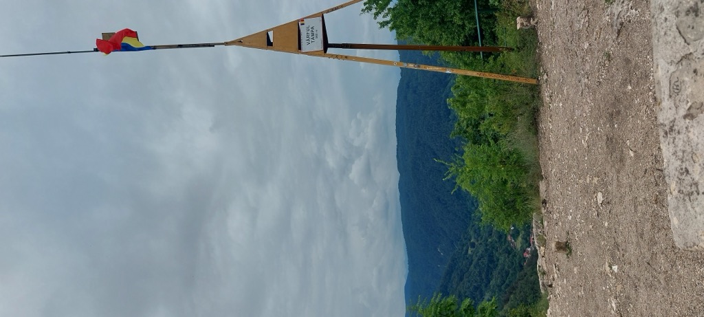
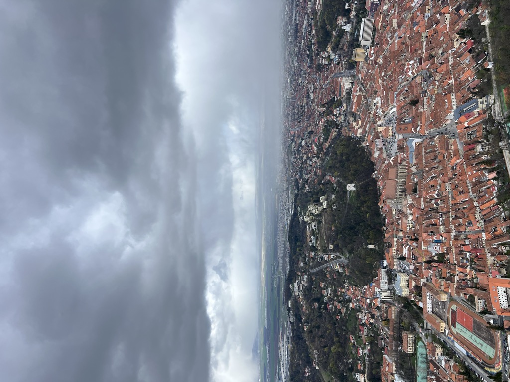
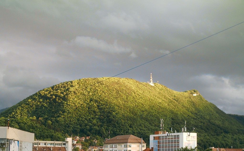
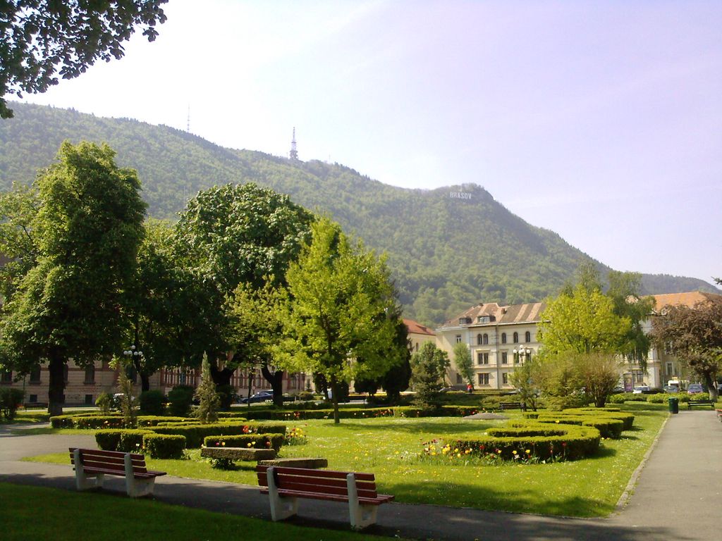
Tâmpa (German: Zinne, or Kapellenberg; Hungarian: Cenk; Latin: Mons Cinum) is a mountain, part of the Postăvarul Massif, located in the southern part of the Eastern Carpathians (alternatively categorized as in the Curvature Carpathians) and almost entirely surrounded by the city of Brașov. Its elevation is 960 m (955 m according to some sources), almost 400 m above the city.
The mountain is mostly made up of limestone formations, having risen up gradually from the Earth's crust.
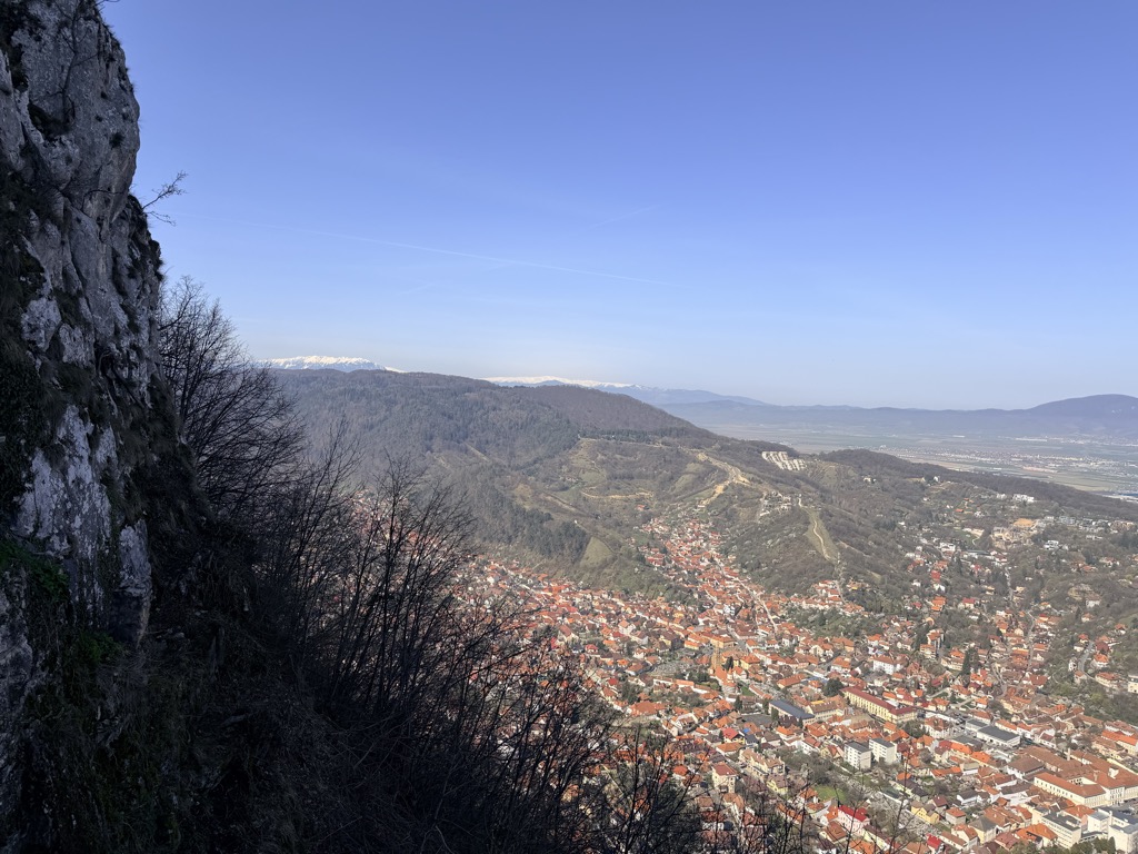
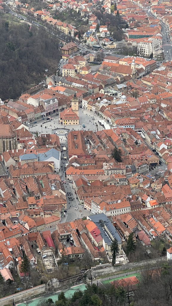
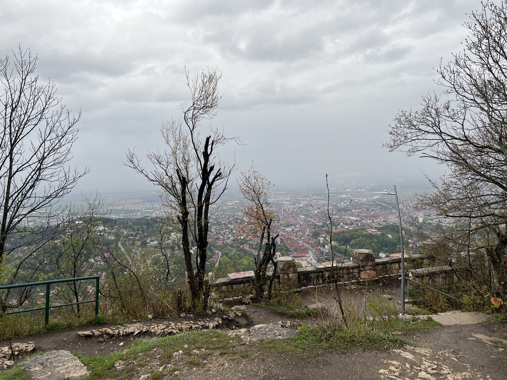
Most of the mountain (1.5 km2) is a declared nature reserve, due to the rare animal species (bears, birds, butterflies—35% of Romanian butterfly species) and plant species (a rare Liverleaf variety, Transylvanian Windgrass) that are found there. A number of routes to the summit exist: there are 25 winding paths cut in 1837 by Brașov's forest administration; Gabony's stairs; the Knights' road, dating to the days of the Brașovia citadel; and an auto road. A cable car makes the journey between the cabin/restaurant Casa Pădurarului at the base of the mountain to the Restaurantul Panoramic, on its crest, in under three minutes. The view from the summit is spectacular, offering a panoramic view of the city; on a clear day, the entire Burzenland is visible.
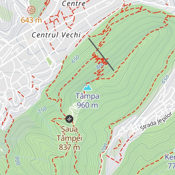
There's a trail leading to the summit. Tâmpa is one of the 2 peaks along the Brașov (centru) - Treptele lui Gabony - Vf. Tâmpa - Șaua Tâmpa - Valea Cetății.
By elevation Tâmpa is
# 1 out of 2 in Aria Protejată Muntele Tâmpa
By prominence Tâmpa is
# 1 out of 2 in Aria Protejată Muntele Tâmpa # 61 out of 316 in Brașov # 34 out of 238 in the Bucegi Mountains
We use GPS information embedded into the photo when it is available.
3D mountains overlay
Adjust mountain panorama to perfectly match your photos because recorded by camera photo position might be imprecise.
Move tool
Rotate tool
Zoom
More customization
Choose which peak labels should make into the final photo and what photo title should be.
Next
Photo Location
Satellitte
Flat map
Relief map
Latitude
Longitude
Altitude
OR
Latitude
°'''
Longitude
°'''
Apply
Register Peak
Peak Name
Latitude
Longitude
Altitude
Register
Teleport
PeakVisor
This 3D model of Sagarmatha National Park in Nepal was made using the PeakVisor app topographic data. The mobile app features higher precision models worldwide, more topographic details, and works offline. Download PeakVisor maps today.
Download OBJ model
PeakVisor
The download should start shortly. If you find it useful please consider supporting the PeakVisor app.
PeakVisor for iOS and Android
Be a superhero of outdoor navigation with state-of-the-art 3D maps and mountain identification in the palm of your hand!