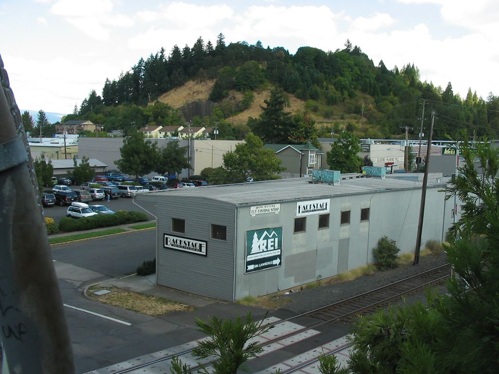
Skinner Butte (often mistakenly called Skinner's Butte) is a prominent hill on the north edge of downtown Eugene, Oregon, near the Willamette River. A local landmark, it honors city founder Eugene Skinner and is the site of the municipal Skinner Butte Park. During the 1920s the letters "KKK" were burned into the hillside. A famous photo of Eugene's downtown displays this marker, which is credited to Eugene's own Ku Klux Klan members. The letters were removed and replaced with the letter "O" in the late 1920s. The butte later displayed a controversial cross or war memorial, depending on interpretation. The cross was replaced several times, but wasn't permanently removed until 1997. One of the objections to the cross was its perceived association with Ku Klux Klan (Eugene grew to be a recognized national stronghold for the KKK through the 1950s.)
We use GPS information embedded into the photo when it is available.
3D mountains overlay
Adjust mountain panorama to perfectly match your photos because recorded by camera photo position might be imprecise.
Move tool
Rotate tool
Zoom
More customization
Choose which peak labels should make into the final photo and what photo title should be.
Next
Photo Location
Satellitte
Flat map
Relief map
Latitude
Longitude
Altitude
OR
Latitude
°'''
Longitude
°'''
Apply
Register Peak
Peak Name
Latitude
Longitude
Altitude
Register
Teleport
PeakVisor
This 3D model of Sagarmatha National Park in Nepal was made using the PeakVisor app topographic data. The mobile app features higher precision models worldwide, more topographic details, and works offline. Download PeakVisor maps today.
Download OBJ model
PeakVisor
The download should start shortly. If you find it useful please consider supporting the PeakVisor app.
PeakVisor for iOS and Android
Be a superhero of outdoor navigation with state-of-the-art 3D maps and mountain identification in the palm of your hand!