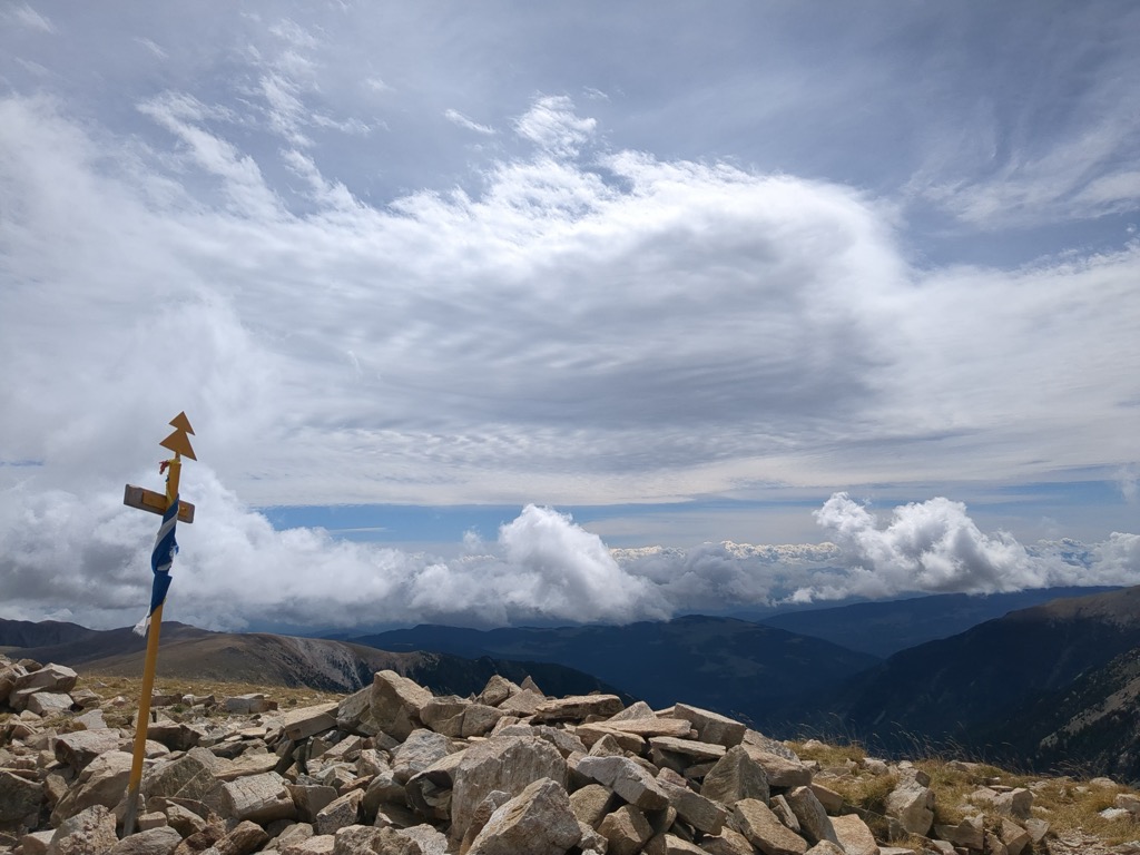
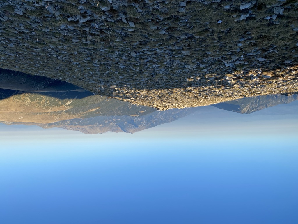
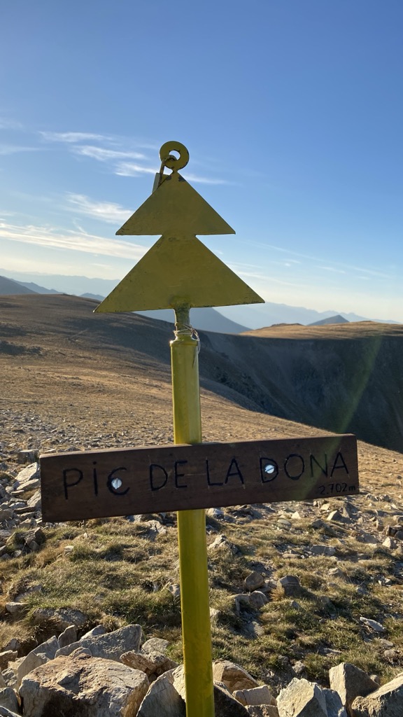
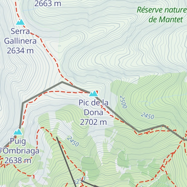
Pic de la Dona is a mountain of Catalonia, Spain. Located in the Pyrenees, it has an elevation of 2,702 metres (8,865 ft) above sea level.
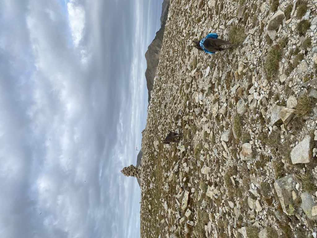
There's a hiking trail (T2) leading to the summit.
The nearest mountain hut is Refugi d'Ulldeter located 1 999m/6 559ft SSW of the summit.
By elevation Pic de la Dona is
# 1 out of 18 in Réserve naturelle de Mantet # 37 out of 2045 in Girona # 59 out of 471 in Parc naturel régional des Pyrénées catalanes # 30 out of 95 in Parc Natural de les Capçaleres del Ter i del Freser # 61 out of 875 in Pyrénées-Orientales
By prominence Pic de la Dona is
# 3 out of 18 in Réserve naturelle de Mantet # 59 out of 471 in Parc naturel régional des Pyrénées catalanes # 15 out of 95 in Parc Natural de les Capçaleres del Ter i del Freser
We use GPS information embedded into the photo when it is available.
3D mountains overlay
Adjust mountain panorama to perfectly match your photos because recorded by camera photo position might be imprecise.
Move tool
Rotate tool
Zoom
More customization
Choose which peak labels should make into the final photo and what photo title should be.
Next
Photo Location
Satellitte
Flat map
Relief map
Latitude
Longitude
Altitude
OR
Latitude
°'''
Longitude
°'''
Apply
Register Peak
Peak Name
Latitude
Longitude
Altitude
Register
Teleport
PeakVisor
This 3D model of Sagarmatha National Park in Nepal was made using the PeakVisor app topographic data. The mobile app features higher precision models worldwide, more topographic details, and works offline. Download PeakVisor maps today.
Download OBJ model
PeakVisor
The download should start shortly. If you find it useful please consider supporting the PeakVisor app.
PeakVisor for iOS and Android
Be a superhero of outdoor navigation with state-of-the-art 3D maps and mountain identification in the palm of your hand!