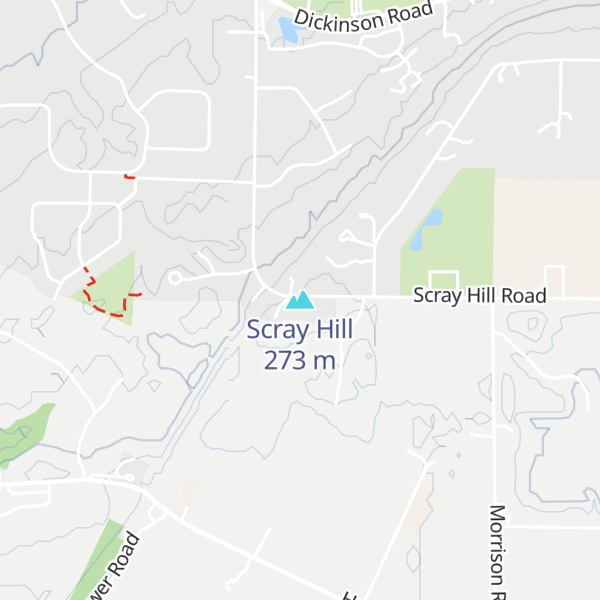
Scray Hill (also known possessively as Scray's Hill) is an 892-foot (272 m) summit in Brown County, Wisconsin, at 44°24′58″N 87°59′48″W. Located just south of De Pere, much of the hill is in the Town of Glenmore; some of its northwestern edges are in the Town of Ledgeview. Scray Hill is home to many television, radio, and communications towers and transmitters, as well as the Central Brown County Water Authority (CBCWA) storage facility.
Scray Hill is part of the Niagara Escarpment (locally called the Ledge), a long, steep slope marking the edge of a plateau that stretches from New York to Wisconsin.
There's a trail called Scray Lane leading to the summit.
We use GPS information embedded into the photo when it is available.
3D mountains overlay
Adjust mountain panorama to perfectly match your photos because recorded by camera photo position might be imprecise.
Move tool
Rotate tool
Zoom
More customization
Choose which peak labels should make into the final photo and what photo title should be.
Next
Photo Location
Satellitte
Flat map
Relief map
Latitude
Longitude
Altitude
OR
Latitude
°'''
Longitude
°'''
Apply
Register Peak
Peak Name
Latitude
Longitude
Altitude
Register
Teleport
PeakVisor
This 3D model of Sagarmatha National Park in Nepal was made using the PeakVisor app topographic data. The mobile app features higher precision models worldwide, more topographic details, and works offline. Download PeakVisor maps today.
Download OBJ model
PeakVisor
The download should start shortly. If you find it useful please consider supporting the PeakVisor app.
PeakVisor for iOS and Android
Be a superhero of outdoor navigation with state-of-the-art 3D maps and mountain identification in the palm of your hand!