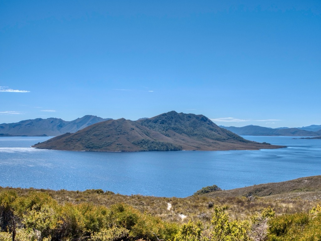
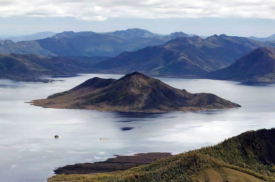
Scotts Peak is a mountain in South West Tasmania which is associated with the construction and flooding of the original Lake Pedder, as the lake now completely surrounds the peak. It lies east of the Frankland Range and has an elevation of 669 metres.
There is a Scotts Peak Dam and a Scotts Peak Dam Road in the region.
Scotts Peak is accessible by Scotts Peak Dam Road and the Lake Pedder boat ramp. Many people kayak across the reservoir to hike Scotts Peak.
By prominence Scotts Peak is
# 25 out of 217 in Derwent Valley # 44 out of 251 in Southwest National Park
We use GPS information embedded into the photo when it is available.
3D mountains overlay
Adjust mountain panorama to perfectly match your photos because recorded by camera photo position might be imprecise.
Move tool
Rotate tool
Zoom
More customization
Choose which peak labels should make into the final photo and what photo title should be.
Next
Photo Location
Satellitte
Flat map
Relief map
Latitude
Longitude
Altitude
OR
Latitude
°'''
Longitude
°'''
Apply
Register Peak
Peak Name
Latitude
Longitude
Altitude
Register
Teleport
PeakVisor
This 3D model of Sagarmatha National Park in Nepal was made using the PeakVisor app topographic data. The mobile app features higher precision models worldwide, more topographic details, and works offline. Download PeakVisor maps today.
Download OBJ model
PeakVisor
The download should start shortly. If you find it useful please consider supporting the PeakVisor app.
PeakVisor for iOS and Android
Be a superhero of outdoor navigation with state-of-the-art 3D maps and mountain identification in the palm of your hand!