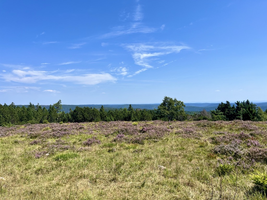
The Schliffkopf is a mountain in the Northern Black Forest between Baiersbronn, Ottenhöfen and Oppenau. It is 1,053.6 m above sea level (NHN). The Schliffkopf lies on the Black Forest High Road in the National Park and is the site of an eponymous four-star "wellness" hotel. Various long-distance paths, including the West Way, run over the Schliffkopf.
At the end of June 2003 a nature trail, the Lothar Path (Lotharpfad), was opened at the Schliffkopf on the topic of storm damage. Along an 800-metre-long educational and experience trail, visitors can see how this ten-hectare area, heavily damaged by Hurricane Lothar in 1999, has gradually recovered and been recolonized. The Lothar Path runs along footbridges, ladders and steps and shows how the forces of nature act, how nature deals with destruction in such an area and what naturally regrows.
The Schliffkopf is a source region for the Acher and the Murg.
There's a hiking trail (T1) leading to the summit. Schliffkopf is one of the 307 peaks along the multi-day European long distance path E1.
The nearest mountain hut is Jakobshütte located 360m/1 181ft W of the summit.
By elevation Schliffkopf is
# 9 out of 55 in Nationalpark Schwarzwald # 4 out of 37 in Kernzone Nationalpark Schwarzwald # 8 out of 129 in Landkreis Freudenstadt # 12 out of 292 in Ortenaukreis
By prominence Schliffkopf is
# 10 out of 55 in Nationalpark Schwarzwald # 6 out of 37 in Kernzone Nationalpark Schwarzwald # 20 out of 129 in Landkreis Freudenstadt # 84 out of 292 in Ortenaukreis
We use GPS information embedded into the photo when it is available.
3D mountains overlay
Adjust mountain panorama to perfectly match your photos because recorded by camera photo position might be imprecise.
Move tool
Rotate tool
Zoom
More customization
Choose which peak labels should make into the final photo and what photo title should be.
Next
Photo Location
Satellitte
Flat map
Relief map
Latitude
Longitude
Altitude
OR
Latitude
°'''
Longitude
°'''
Apply
Register Peak
Peak Name
Latitude
Longitude
Altitude
Register
Teleport
PeakVisor
This 3D model of Sagarmatha National Park in Nepal was made using the PeakVisor app topographic data. The mobile app features higher precision models worldwide, more topographic details, and works offline. Download PeakVisor maps today.
Download OBJ model
PeakVisor
The download should start shortly. If you find it useful please consider supporting the PeakVisor app.
PeakVisor for iOS and Android
Be a superhero of outdoor navigation with state-of-the-art 3D maps and mountain identification in the palm of your hand!