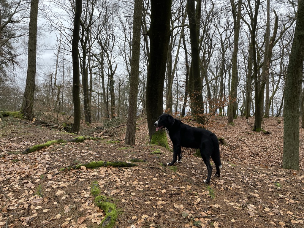
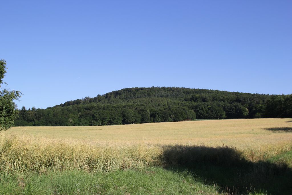
Schanzenkopf (Spessart) is a wooded hill of Bavaria, Germany. It lies in the Mittelgebirge Spessart in the district of Aschaffenburg.
Schanzenkopf has a maximum elevation of 343 metres. It is located in the municipal territory of Alzenau and is part of the ridge Hahnenkamm, the highest elevation of which lies just to the northeast of Schanzenkopf.
There is another hill named Schanzenkopf (also known as Schwedenschanze) not far to the northeast, on the other side of the Kahl.
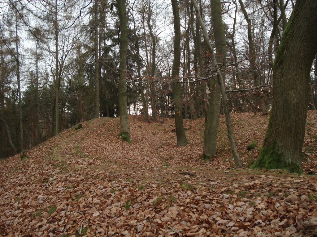
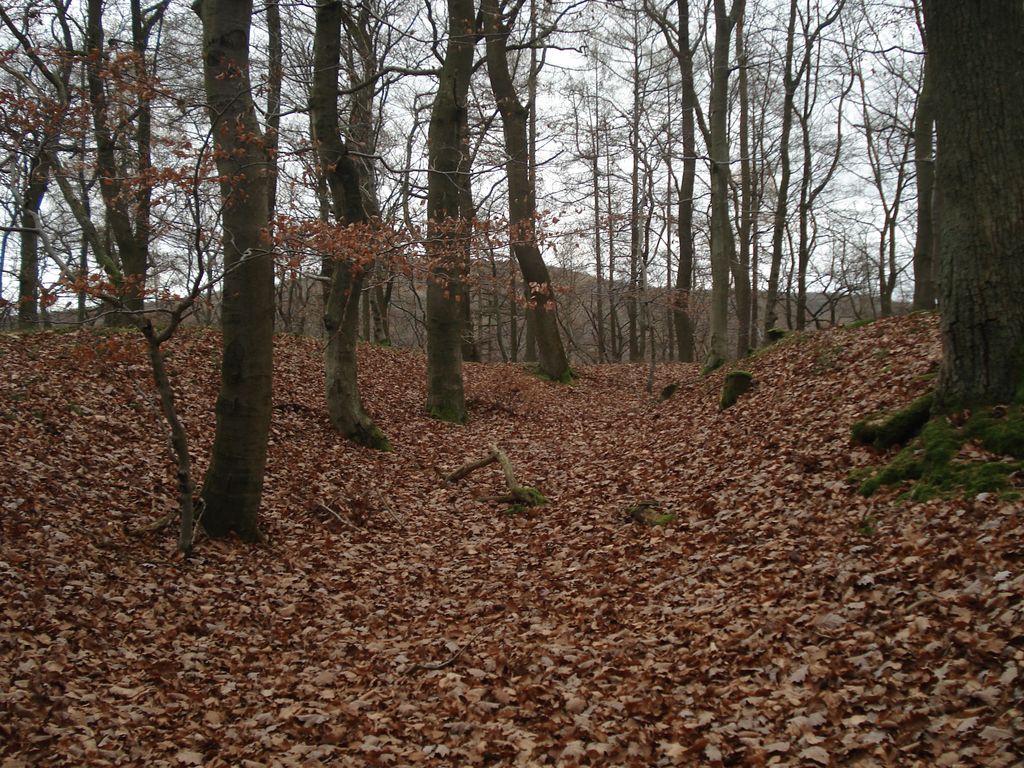
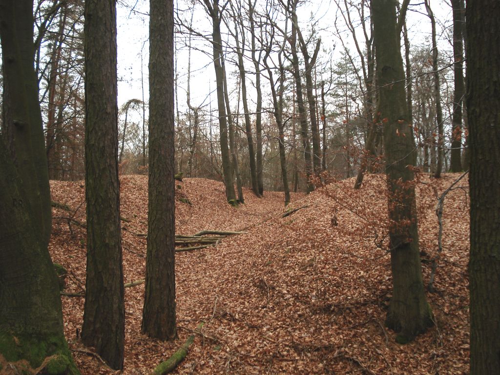
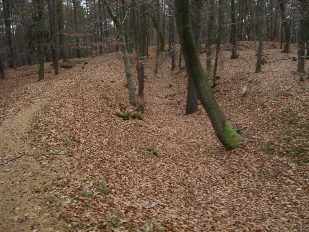
The remains of a hill fort have been discovered on Schanzenkopf (Schanze is German for fieldwork or rampart). However, it is unclear whether this dates from prehistoric or medieval times.
We use GPS information embedded into the photo when it is available.
3D mountains overlay
Adjust mountain panorama to perfectly match your photos because recorded by camera photo position might be imprecise.
Move tool
Rotate tool
Zoom
More customization
Choose which peak labels should make into the final photo and what photo title should be.
Next
Photo Location
Satellitte
Flat map
Relief map
Latitude
Longitude
Altitude
OR
Latitude
°'''
Longitude
°'''
Apply
Register Peak
Peak Name
Latitude
Longitude
Altitude
Register
Teleport
PeakVisor
This 3D model of Sagarmatha National Park in Nepal was made using the PeakVisor app topographic data. The mobile app features higher precision models worldwide, more topographic details, and works offline. Download PeakVisor maps today.
Download OBJ model
PeakVisor
The download should start shortly. If you find it useful please consider supporting the PeakVisor app.
PeakVisor for iOS and Android
Be a superhero of outdoor navigation with state-of-the-art 3D maps and mountain identification in the palm of your hand!