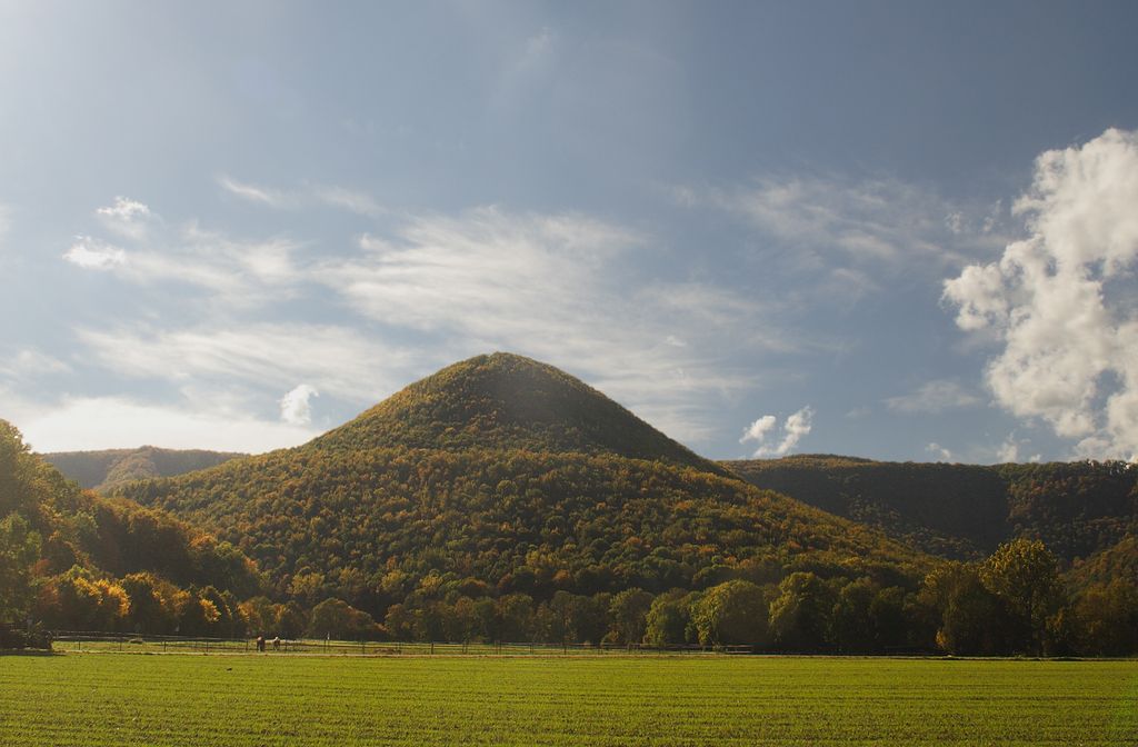
Runder Berg is a mountain of Baden-Württemberg, Germany.
The round mountain in Bad Urach is an oval hill (711 m above sea level) in the Swabian Alb, which is up stands about 250 meters above the valley and through a narrow saddle with the Alb plateau. On about 0.45 hectare plateau several prehistoric and hilltop settlements in particular the castle a small Alemanni king in the 4th and 5th centuries were, (see Alamannic hillfort). After numerous stray finds were made famous by the Round Mountain since 1932, extensive excavations were carried out on the entire mountain and on a terrace on a slope 1967–1984.
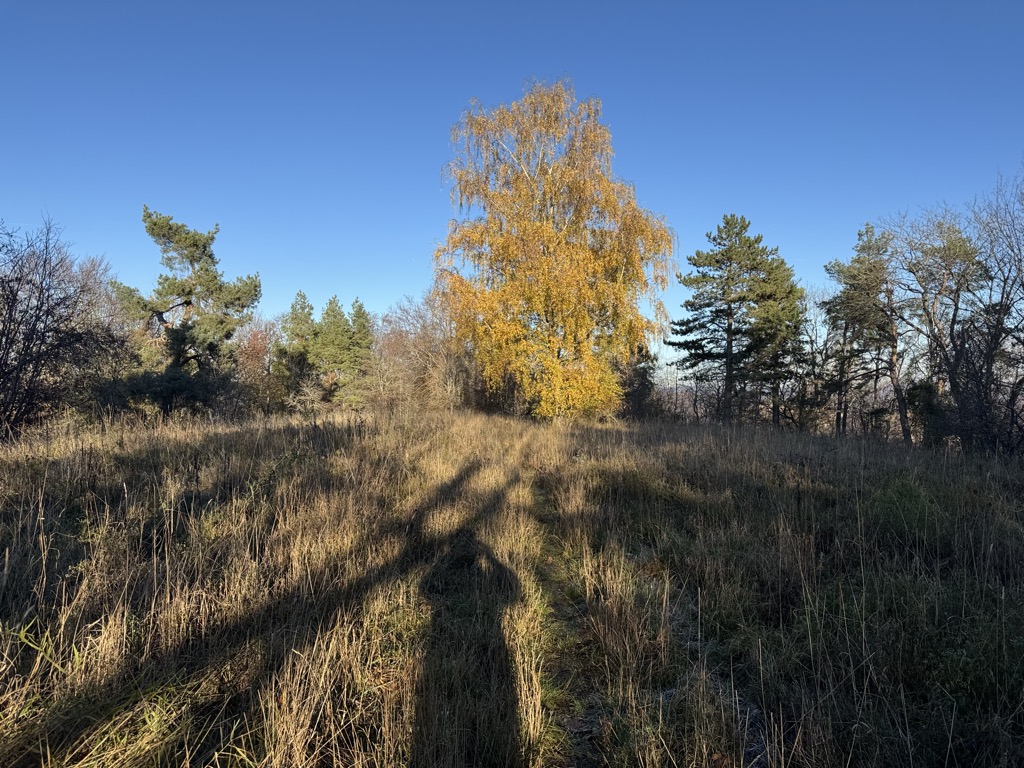
There's a trail leading to the summit.
The nearest mountain hut is Schutzhütte am Wasserfall located 903m/2 963ft SSE of the summit.
We use GPS information embedded into the photo when it is available.
3D mountains overlay
Adjust mountain panorama to perfectly match your photos because recorded by camera photo position might be imprecise.
Move tool
Rotate tool
Zoom
More customization
Choose which peak labels should make into the final photo and what photo title should be.
Next
Photo Location
Satellitte
Flat map
Relief map
Latitude
Longitude
Altitude
OR
Latitude
°'''
Longitude
°'''
Apply
Register Peak
Peak Name
Latitude
Longitude
Altitude
Register
Teleport
PeakVisor
This 3D model of Sagarmatha National Park in Nepal was made using the PeakVisor app topographic data. The mobile app features higher precision models worldwide, more topographic details, and works offline. Download PeakVisor maps today.
Download OBJ model
PeakVisor
The download should start shortly. If you find it useful please consider supporting the PeakVisor app.
PeakVisor for iOS and Android
Be a superhero of outdoor navigation with state-of-the-art 3D maps and mountain identification in the palm of your hand!