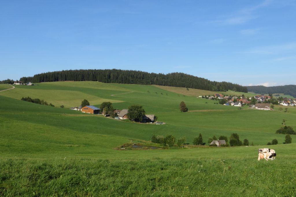
The Roßberg is a mountain, 1,124.7 m above sea level (NHN), in the Black Forest immediately north of Breitnau in the German state of Baden-Württemberg. Hinterzarten, Titisee-Neustadt and St. Märgen are also nearby. On the same ridge just over 1 km to the west is the Hohwart (1123 m) and 2 km to the east, across the Oberbach valley, is the highest mountain in Breitnau municipality: the Weißtannenhöhe (1190 m).
On the northwestern side of the mountain the remains of a rampart and ditch system from the end of the 17th century may be made out. In the area of the Roßberg the fortifications (known as Schanzen) run from the Schanzenhäusle via the Ringelschanze to the zur Roßbergschanze. Between the Ringelschanze and the Roßbergschanze there are continuous, linear structures with several triangular bastions. In 1690 battles were fought at Breitnau, but by the early 18th century the fortifications had lost their military significance.
Immediately next to the Roßbergschanze lies the Breitnau Friends of Nature house (Naturfreundehaus Breitnau, Roßberg 47.951884°N 8.076394°E / 47.951884; 8.076394).
We use GPS information embedded into the photo when it is available.
3D mountains overlay
Adjust mountain panorama to perfectly match your photos because recorded by camera photo position might be imprecise.
Move tool
Rotate tool
Zoom
More customization
Choose which peak labels should make into the final photo and what photo title should be.
Next
Photo Location
Satellitte
Flat map
Relief map
Latitude
Longitude
Altitude
OR
Latitude
°'''
Longitude
°'''
Apply
Register Peak
Peak Name
Latitude
Longitude
Altitude
Register
Teleport
PeakVisor
This 3D model of Sagarmatha National Park in Nepal was made using the PeakVisor app topographic data. The mobile app features higher precision models worldwide, more topographic details, and works offline. Download PeakVisor maps today.
Download OBJ model
PeakVisor
The download should start shortly. If you find it useful please consider supporting the PeakVisor app.
PeakVisor for iOS and Android
Be a superhero of outdoor navigation with state-of-the-art 3D maps and mountain identification in the palm of your hand!