Reuschberg (Spessart) is a hill in the Spessart range, located in the Landkreis Aschaffenburg, part of the Franconia region of Bavaria, Germany. It has an elevation of 415 metres.
The wooded hill is located mostly in the unincorporated area of Schöllkrippener Forst. At its foot lies the town of Schöllkrippen. To the south is the valley of the Höllenbach, to the north that of the Kleiner Laudenbach, both of which flow into the Kahl.
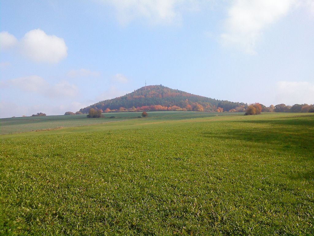
There is a transmission mast on the hill, operated by Vodafone, located on the slope at an elevation of around 385 metres.
Near the peak, there is a sort of circular rampart, known as Alte Burg or Altenburg, with remains of both earth and masonry walls, long thought to date to the La Tène period. However, excavations in 2005 indicate that it most likely is a 10th-century refuge castle, with some elements added later (11th or 12th century). Over the centuries, locals have used the fortification as a source of construction materials, reducing the remains to just foundations.
The Hof Reuschberg, a former monastery, lies on the lower slopes, just beneath the forest fringe.
We use GPS information embedded into the photo when it is available.
3D mountains overlay
Adjust mountain panorama to perfectly match your photos because recorded by camera photo position might be imprecise.
Move tool
Rotate tool
Zoom
More customization
Choose which peak labels should make into the final photo and what photo title should be.
Next
Photo Location
Satellitte
Flat map
Relief map
Latitude
Longitude
Altitude
OR
Latitude
°'''
Longitude
°'''
Apply
Register Peak
Peak Name
Latitude
Longitude
Altitude
Register
Teleport
PeakVisor
This 3D model of Sagarmatha National Park in Nepal was made using the PeakVisor app topographic data. The mobile app features higher precision models worldwide, more topographic details, and works offline. Download PeakVisor maps today.
Download OBJ model
PeakVisor
The download should start shortly. If you find it useful please consider supporting the PeakVisor app.
PeakVisor for iOS and Android
Be a superhero of outdoor navigation with state-of-the-art 3D maps and mountain identification in the palm of your hand!


.jpg)


