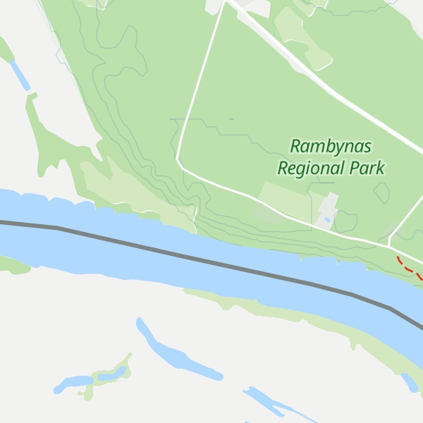
Rambynas is a hill on the right bank of the Neman River in Rambynas Regional Park, Pagėgiai Municipality, western Lithuania. The current hill, about 46 metres (151 ft) above sea level and about 40 metres (130 ft) above the Neman, is a remnant of the larger hill that was destroyed by erosion. The hill was known as sacred among locals and played a role in the ceremonies of pagan Lithuanians. It is featured in many local legends and is protected by the state as a mythological object. A large stone at the top of the hill, known as the altar stone, was destroyed by a miller in 1811. Rambynas became popular with Prussian Lithuanians at the end of the 19th century who organized various events, most notably celebrations of the Saint Jonas' Festivals or Rasos (summer solstice), on the hill. They rebuilt the altar in 1928. The hill is popular with Lithuanian neo-pagans and hosts the annual celebrations of the summer solstice on 23 June.
There's a trail leading to the summit.
By elevation Rambynas is
# 2 out of 9 in Nemansky District # 8 out of 11 in Taurage County # 1 out of 1 in Lumpėnų seniūnija # 3 out of 3 in Rambynas Regional Park
By prominence Rambynas is
# 17 out of 301 in Kaliningrad # 2 out of 9 in Nemansky District # 4 out of 11 in Taurage County # 1 out of 1 in Lumpėnų seniūnija # 34 out of 149 in Lithuania # 2 out of 3 in Rambynas Regional Park
We use GPS information embedded into the photo when it is available.
3D mountains overlay
Adjust mountain panorama to perfectly match your photos because recorded by camera photo position might be imprecise.
Move tool
Rotate tool
Zoom
More customization
Choose which peak labels should make into the final photo and what photo title should be.
Next
Photo Location
Satellitte
Flat map
Relief map
Latitude
Longitude
Altitude
OR
Latitude
°'''
Longitude
°'''
Apply
Register Peak
Peak Name
Latitude
Longitude
Altitude
Register
Teleport
PeakVisor
This 3D model of Sagarmatha National Park in Nepal was made using the PeakVisor app topographic data. The mobile app features higher precision models worldwide, more topographic details, and works offline. Download PeakVisor maps today.
Download OBJ model
PeakVisor
The download should start shortly. If you find it useful please consider supporting the PeakVisor app.
PeakVisor for iOS and Android
Be a superhero of outdoor navigation with state-of-the-art 3D maps and mountain identification in the palm of your hand!