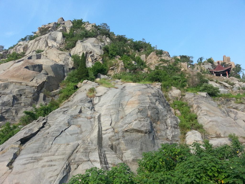
Que Hill (Chinese: 鹊山; pinyin: Què Shān; lit. 'Magpie Hill', possibly named after the legendary physician Bian Que for whom there is a memorial tomb nearby) is a small elongated hill located on the western shore of the Yellow River in the City of Jinan, Shandong Province, China. It is one of the solitary "Nine Hills" in the Yellow River valley within and to the north of Jinan City. Together with Hua Hill, which is today located on the opposite side of the Yellow River, Que Hill is depicted in a renowned painting by the Yuan-Dynasty era painter and calligrapher Zhao Mengfu entitled "Autumn Colors at Que and Hua Hills" (now in the collection of the National Palace Museum in Taipeh). The hill is positioned close to the northern end of the Luokou Yellow River Railway Bridge which was placed there because the hill stabilizes the course of the Yellow River. In November 1937, Japanese troops attacked the northern shore of the Yellow River and killed about 50 villagers who lived around Que Hill. The event became known as the Que Hill Tragedy (Chinese: 鹊山惨案; pinyin: Quèshān Cǎn'àn).
We use GPS information embedded into the photo when it is available.
3D mountains overlay
Adjust mountain panorama to perfectly match your photos because recorded by camera photo position might be imprecise.
Move tool
Rotate tool
Zoom
More customization
Choose which peak labels should make into the final photo and what photo title should be.
Next
Photo Location
Satellitte
Flat map
Relief map
Latitude
Longitude
Altitude
OR
Latitude
°'''
Longitude
°'''
Apply
Register Peak
Peak Name
Latitude
Longitude
Altitude
Register
Teleport
PeakVisor
This 3D model of Sagarmatha National Park in Nepal was made using the PeakVisor app topographic data. The mobile app features higher precision models worldwide, more topographic details, and works offline. Download PeakVisor maps today.
Download OBJ model
PeakVisor
The download should start shortly. If you find it useful please consider supporting the PeakVisor app.
PeakVisor for iOS and Android
Be a superhero of outdoor navigation with state-of-the-art 3D maps and mountain identification in the palm of your hand!