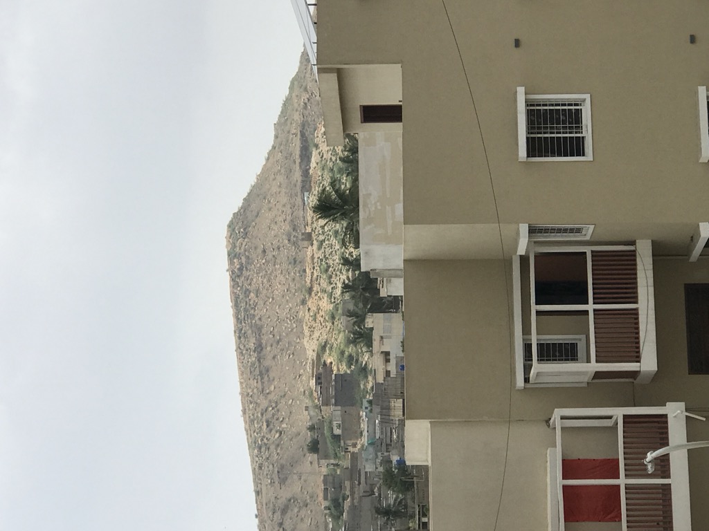
Named after the popular 13th century Sufi saint Pir Haji Syed Khawaja Hassan Sakhi Sultan, the mountain is an offshoot of the Kirthar range which extends for around 190 km through the provinces of Sindh and Balochistan. The mountain is predominantly made of sand, rocks and boulders with scarce vegetation. The gradient of the mountain’s slope is quite low at around 5-10 degrees. On the mountain, there are houses and settlements, most of which are very basic and simple. There are no known trails leading to the summit.
We use GPS information embedded into the photo when it is available.
3D mountains overlay
Adjust mountain panorama to perfectly match your photos because recorded by camera photo position might be imprecise.
Move tool
Rotate tool
Zoom
More customization
Choose which peak labels should make into the final photo and what photo title should be.
Next
Photo Location
Satellitte
Flat map
Relief map
Latitude
Longitude
Altitude
OR
Latitude
°'''
Longitude
°'''
Apply
Register Peak
Peak Name
Latitude
Longitude
Altitude
Register
Teleport
PeakVisor
This 3D model of Sagarmatha National Park in Nepal was made using the PeakVisor app topographic data. The mobile app features higher precision models worldwide, more topographic details, and works offline. Download PeakVisor maps today.
Download OBJ model
PeakVisor
The download should start shortly. If you find it useful please consider supporting the PeakVisor app.
PeakVisor for iOS and Android
Be a superhero of outdoor navigation with state-of-the-art 3D maps and mountain identification in the palm of your hand!