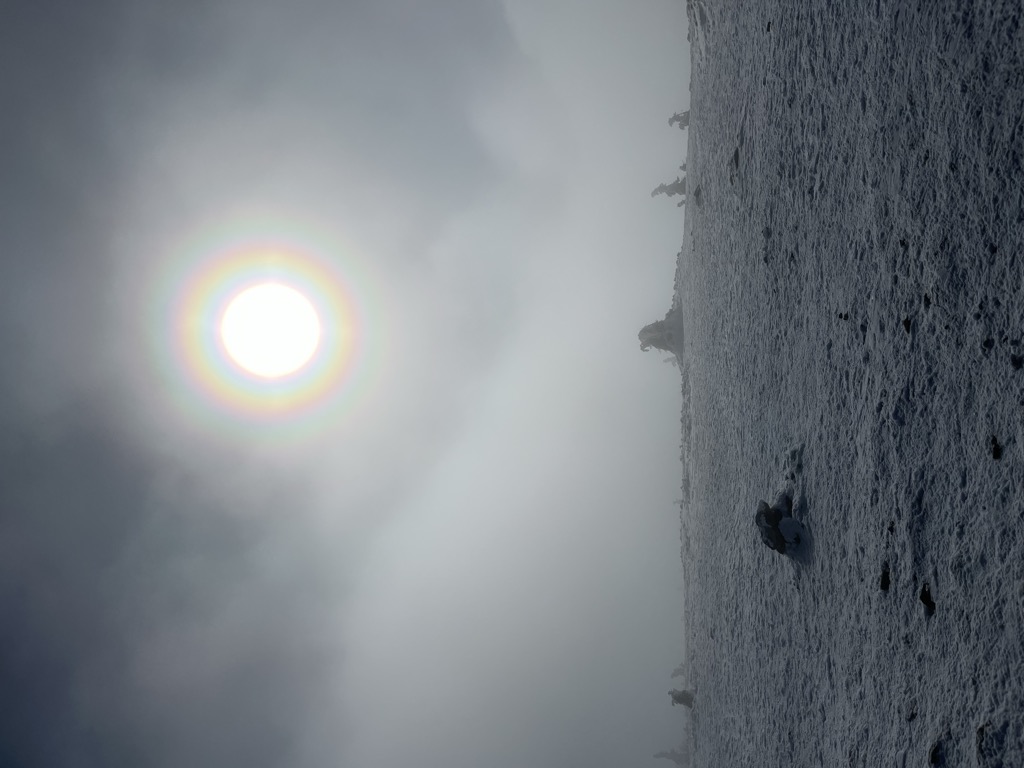
Pilsko is the second highest mountain of the Żywiec Beskids (Oravské Beskydy in Slovakia) mountain range, near the border between Poland and Slovakia. It rises to an altitude of 1,557 meters (5,108 ft) and is a hiking destination in summer and a skiing area in winter. The name Pilsko is frequently used not only to describe the main peak, which lies in Slovakia, but also the whole range. The mountain lies not only on the border between the two nations, it also marks the European Watershed.
There's a trail leading to the summit. Pilsko is one of the 2 peaks along the Oravské Veselé - Pilsko, št. hr.
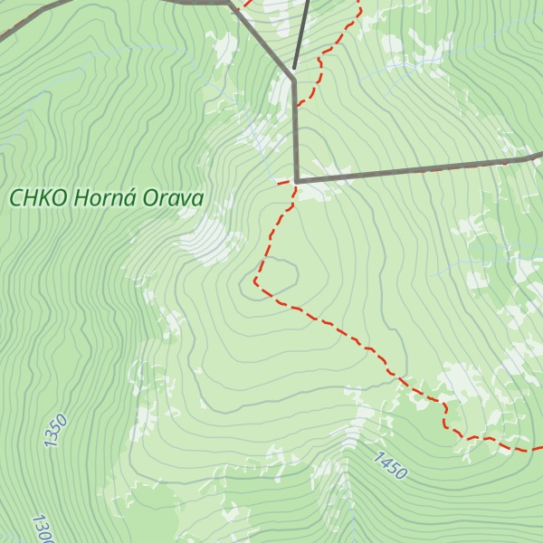
The nearest mountain hut is Schronisko na Hali Miziowej located 1 370m/4 495ft N of the summit.
By elevation Pilsko is
# 2 out of 171 in CHKO Horná Orava
By prominence Pilsko is
# 10 out of 8386 in Slovakia # 6 out of 1942 in Region of Žilina # 2 out of 171 in CHKO Horná Orava # 39 out of 25182 in the Carpathian Mountains
We use GPS information embedded into the photo when it is available.
3D mountains overlay
Adjust mountain panorama to perfectly match your photos because recorded by camera photo position might be imprecise.
Move tool
Rotate tool
Zoom
More customization
Choose which peak labels should make into the final photo and what photo title should be.
Next
Photo Location
Satellitte
Flat map
Relief map
Latitude
Longitude
Altitude
OR
Latitude
°'''
Longitude
°'''
Apply
Register Peak
Peak Name
Latitude
Longitude
Altitude
Register
Teleport
PeakVisor
This 3D model of Sagarmatha National Park in Nepal was made using the PeakVisor app topographic data. The mobile app features higher precision models worldwide, more topographic details, and works offline. Download PeakVisor maps today.
Download OBJ model
PeakVisor
The download should start shortly. If you find it useful please consider supporting the PeakVisor app.
PeakVisor for iOS and Android
Be a superhero of outdoor navigation with state-of-the-art 3D maps and mountain identification in the palm of your hand!