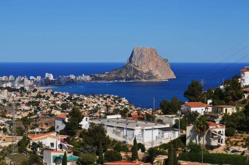
Penyal d'Ifac Natural Park (Spanish: Parque Natural del Peñón de Ifach, Valencian: Parc Natural del Penyal d'Ifac) is a natural park situated in Calpe, in the Valencian Community, Spain.
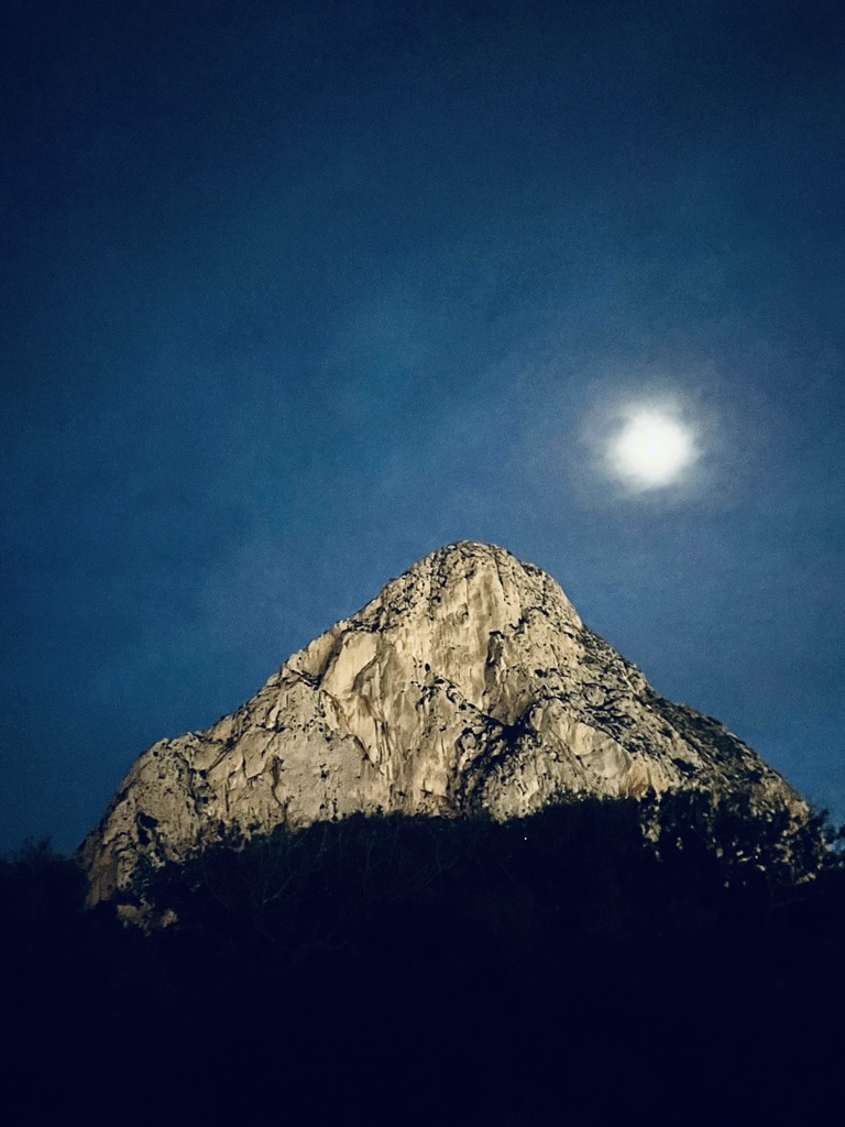
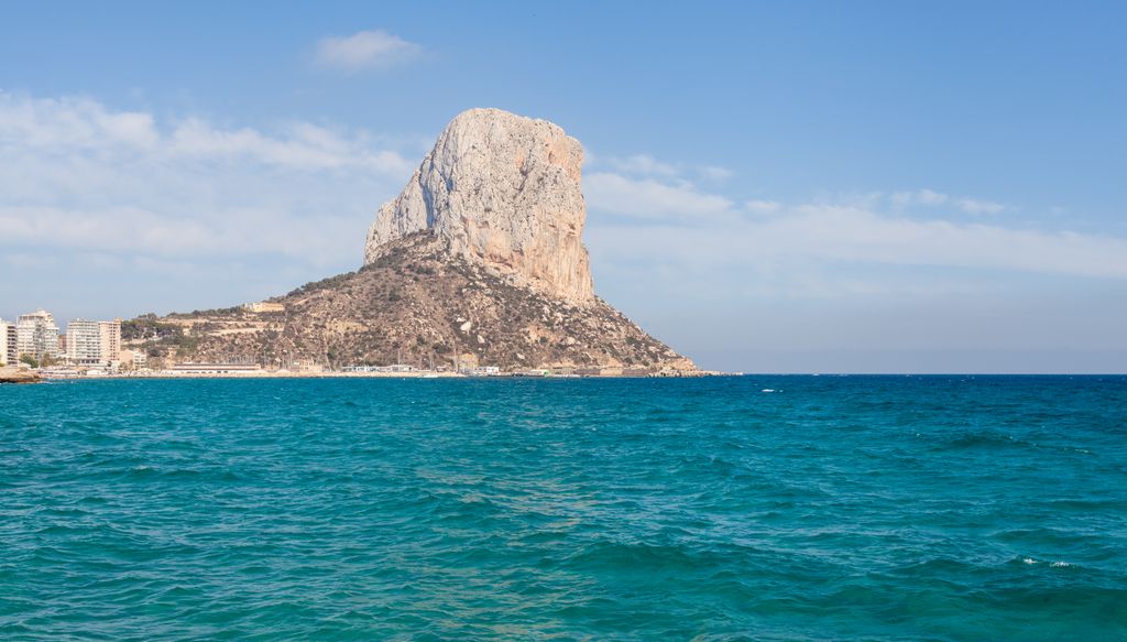
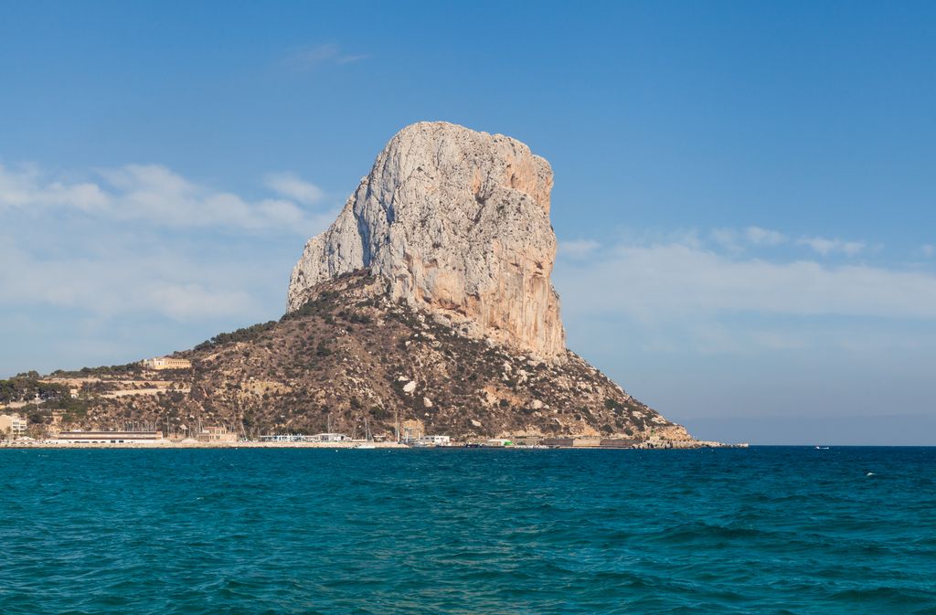
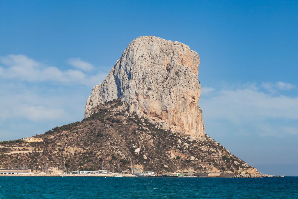
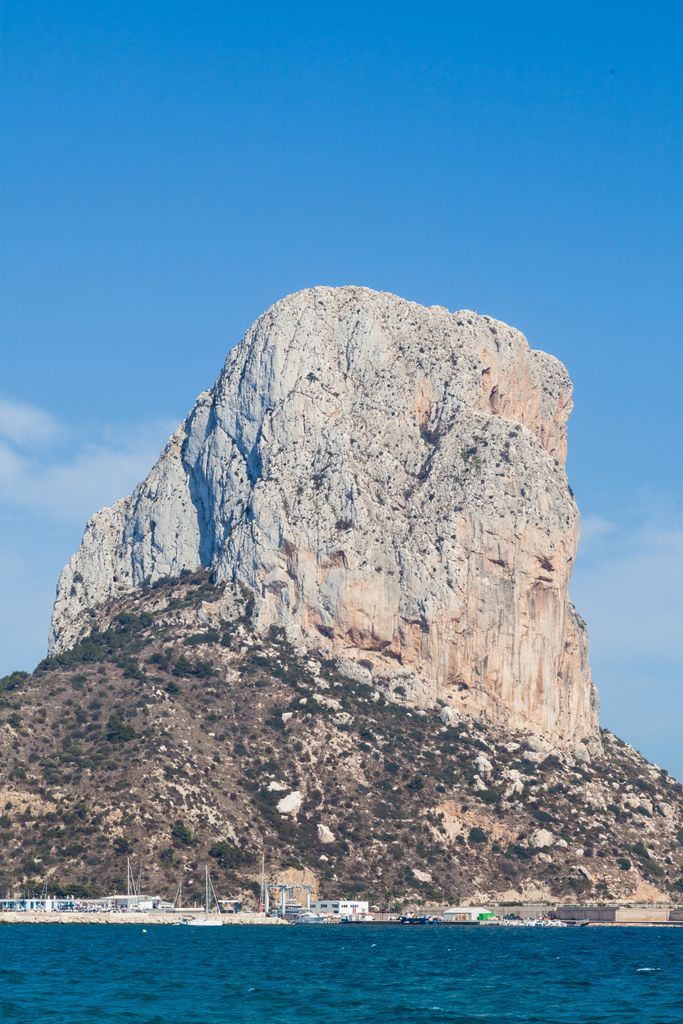
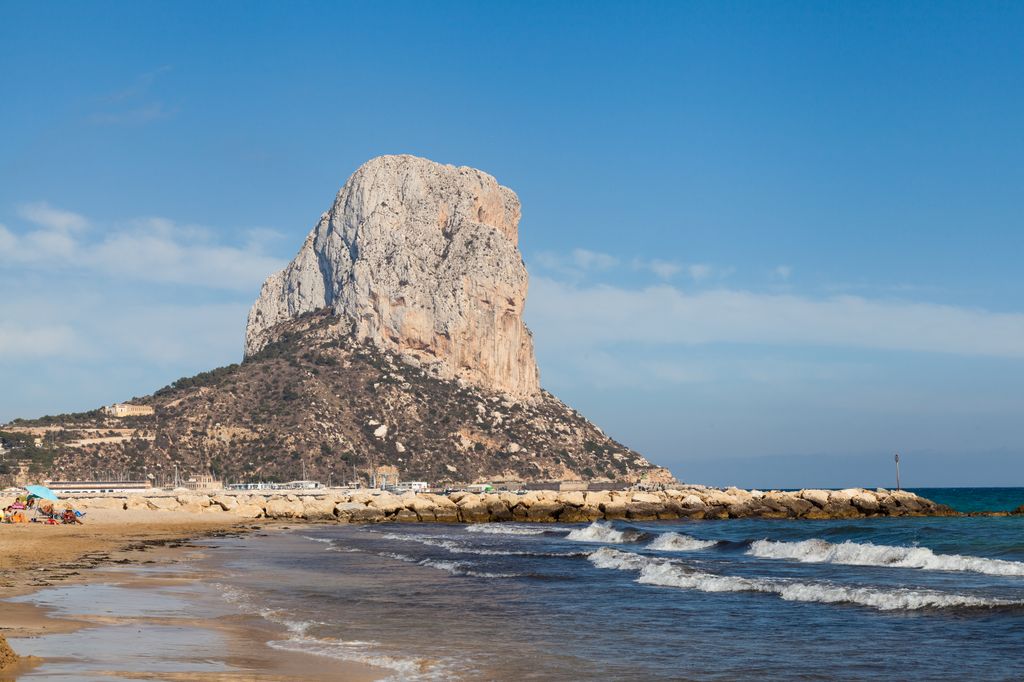
The Penyal d'Ifac is a massive limestone outcrop emerging from the sea and linked to the shore by an isthmus of rock debris. It is home to numerous rare plants, including a number of endemic species, and over 300 species of animals, and a nesting site for colonies of sea birds and other birds.
Rising to 332 metres (1,089 ft) in height, the rock is a striking visual feature of the Mediterranean coastline. Historically it was known to the Phoenicians as the Northern Rock, to distinguish it from its southern counterpart, the Rock of Gibraltar.
Behind Penyal d'Ifac is a large lagoon cut off from the sea by strips of sandy beach and extending inland to the coastal mountains. The wetland area around the lagoon is all that remains of the formerly much more extensive wetlands of the Marina Alta.
A protracted campaign to protect the site's natural diversity led to the area being granted natural park status in January 1987. With an area of 45 hectares (110 acres), it is the smallest natural park in Spain, possibly in Europe. The park ranges from sea level to an altitude of 332 metres at the summit of the rock (penyal in Valencian, peñón in Spanish).
From the top of the rock there are views over the surrounding villages and countryside and on a clear day as far across the sea as Ibiza in the Balearic Islands.
There's a demading hiking trail (T3) leading to the summit.
By elevation Penyal d'Ifac is
# 1 out of 1 in Parc Natural del Penyal d'Ifac
By prominence Penyal d'Ifac is
# 1 out of 1 in Parc Natural del Penyal d'Ifac # 26 out of 863 in Alacant / Alicante # 46 out of 3054 in Valencian Community # 88 out of 14197 in the Sistema Iberico
We use GPS information embedded into the photo when it is available.
3D mountains overlay
Adjust mountain panorama to perfectly match your photos because recorded by camera photo position might be imprecise.
Move tool
Rotate tool
Zoom
More customization
Choose which peak labels should make into the final photo and what photo title should be.
Next
Photo Location
Satellitte
Flat map
Relief map
Latitude
Longitude
Altitude
OR
Latitude
°'''
Longitude
°'''
Apply
Register Peak
Peak Name
Latitude
Longitude
Altitude
Register
Teleport
PeakVisor
This 3D model of Sagarmatha National Park in Nepal was made using the PeakVisor app topographic data. The mobile app features higher precision models worldwide, more topographic details, and works offline. Download PeakVisor maps today.
Download OBJ model
PeakVisor
The download should start shortly. If you find it useful please consider supporting the PeakVisor app.
PeakVisor for iOS and Android
Be a superhero of outdoor navigation with state-of-the-art 3D maps and mountain identification in the palm of your hand!