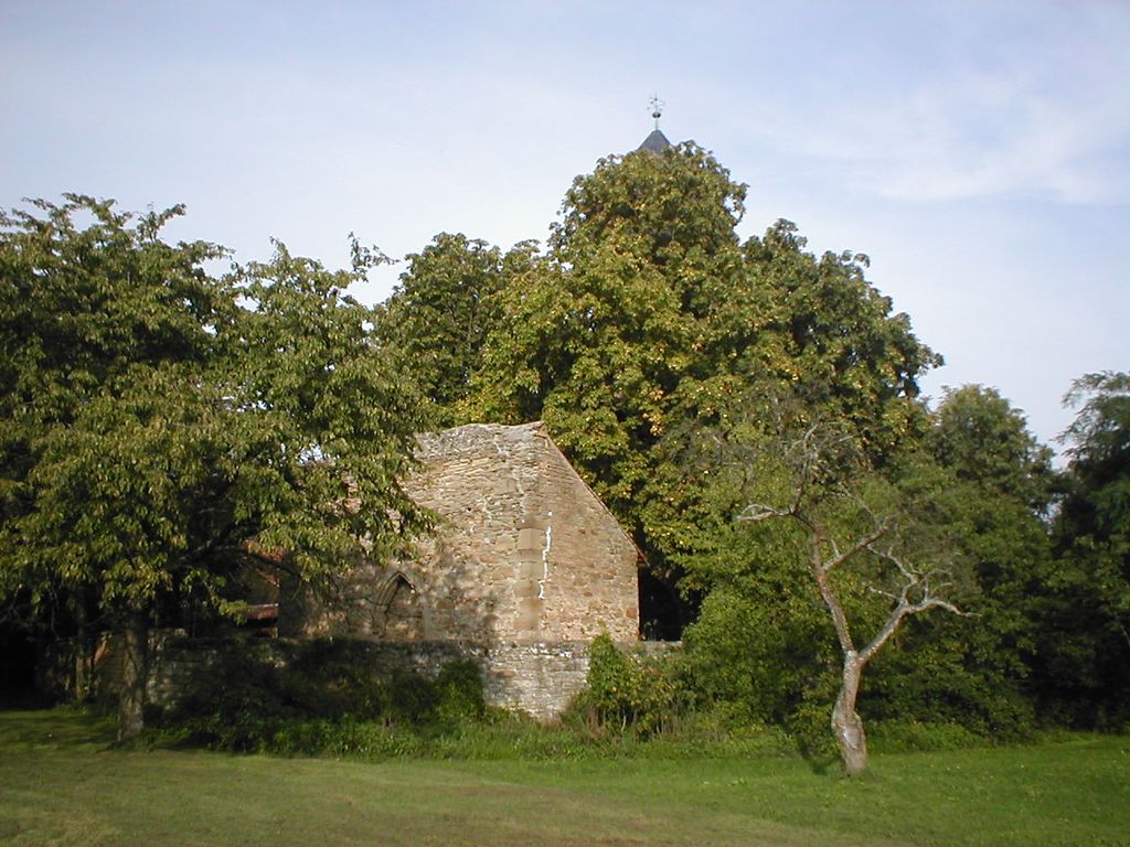
The Ottilienberg is a mountain near Eppingen in Baden-Württemberg, Germany. The mountain has been a cult place in ancient times. On top of the mountain are the remains of a late medieval pilgrimage church and remains of a fortification from the 17th century.
The mountain itself is a sandstone oval about 3 km south east of Eppingen. Because of the extraordinary geological formation, the 310 m high mountain is assumed to be a very early refuge and cult place. The pilgrimage church was donated in 1473. South of the chapel was a graveyard. 1697 the mountain top was dismantled to an artillery fortress. While the fortress decayed through the following decades, the church and some surrounding economy buildings did remain, until they were severely damaged during World War II in April 1945. The chapel was reconstructed in simplified shape in 1954/55.
There's a trail leading to the summit.
The nearest mountain hut is Kopfrainhütte located 1 560m/5 117ft SSW of the summit.
We use GPS information embedded into the photo when it is available.
3D mountains overlay
Adjust mountain panorama to perfectly match your photos because recorded by camera photo position might be imprecise.
Move tool
Rotate tool
Zoom
More customization
Choose which peak labels should make into the final photo and what photo title should be.
Next
Photo Location
Satellitte
Flat map
Relief map
Latitude
Longitude
Altitude
OR
Latitude
°'''
Longitude
°'''
Apply
Register Peak
Peak Name
Latitude
Longitude
Altitude
Register
Teleport
PeakVisor
This 3D model of Sagarmatha National Park in Nepal was made using the PeakVisor app topographic data. The mobile app features higher precision models worldwide, more topographic details, and works offline. Download PeakVisor maps today.
Download OBJ model
PeakVisor
The download should start shortly. If you find it useful please consider supporting the PeakVisor app.
PeakVisor for iOS and Android
Be a superhero of outdoor navigation with state-of-the-art 3D maps and mountain identification in the palm of your hand!