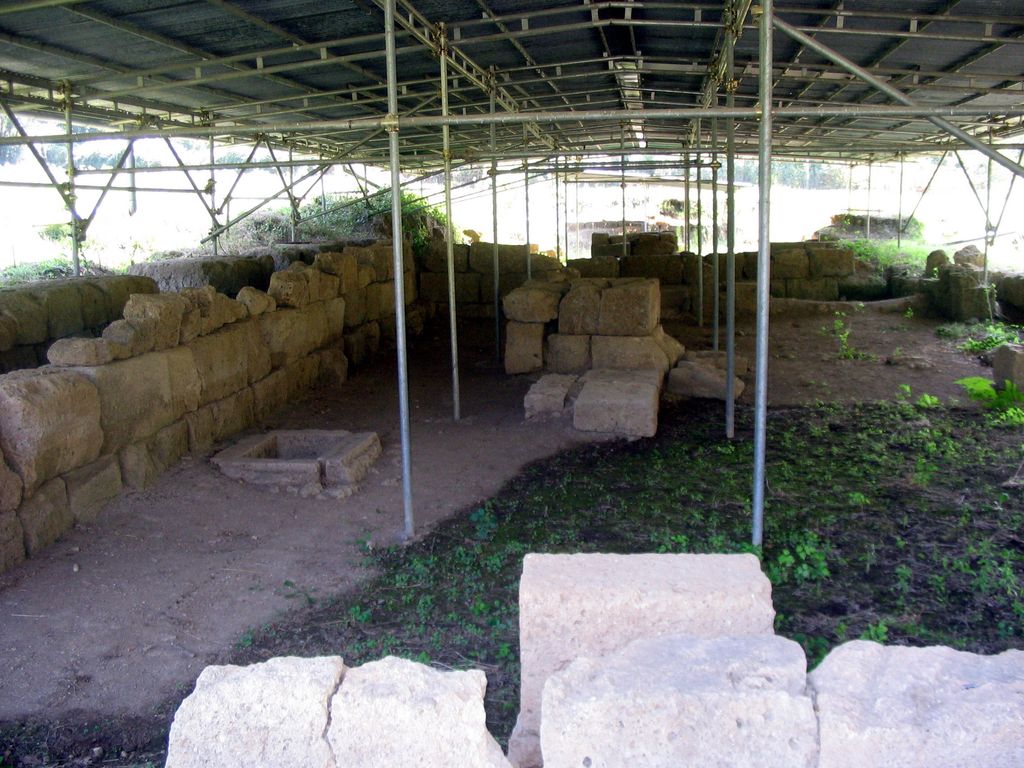
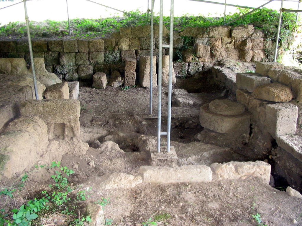
Narce was a Faliscan settlement in Italy located 5 kilometers south of Falerii (modern Civita Castellana). Its residents spoke an Italic language related to Latin. It was inhabited from the 2nd millennium to the 3rd century B.C. The ancient name of the settlement is uncertain, but it may have been called Fescennium.
The material culture, religion, and history of the Faliscans shares much in common with that of the Etruscans. Narce interacted with Etruscan settlements in all periods of its inhabitation, maintaining especially close relations with the nearby Etruscan city of Veii. Ultimately both groups of people met the same fate under Roman conquest.
Narce was at the center of an impressive network of roads, which gave it access to Veii, Nepi, Falerii Veteres, Capena, and other neighboring settlements. It likely owed its prosperity to its position as a trading post and waystation.
There's a trail leading to the summit. Narce is one of the 1 peaks along the Narce.
By elevation Narce is
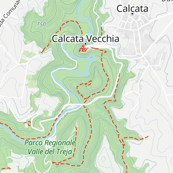
# 4 out of 5 in Parco Regionale Valle del Treja
By prominence Narce is
# 73 out of 653 in Roma Capitale # 23 out of 170 in Viterbo # 1 out of 5 in Parco Regionale Valle del Treja
We use GPS information embedded into the photo when it is available.
3D mountains overlay
Adjust mountain panorama to perfectly match your photos because recorded by camera photo position might be imprecise.
Move tool
Rotate tool
Zoom
More customization
Choose which peak labels should make into the final photo and what photo title should be.
Next
Photo Location
Satellitte
Flat map
Relief map
Latitude
Longitude
Altitude
OR
Latitude
°'''
Longitude
°'''
Apply
Register Peak
Peak Name
Latitude
Longitude
Altitude
Register
Teleport
PeakVisor
This 3D model of Sagarmatha National Park in Nepal was made using the PeakVisor app topographic data. The mobile app features higher precision models worldwide, more topographic details, and works offline. Download PeakVisor maps today.
Download OBJ model
PeakVisor
The download should start shortly. If you find it useful please consider supporting the PeakVisor app.
PeakVisor for iOS and Android
Be a superhero of outdoor navigation with state-of-the-art 3D maps and mountain identification in the palm of your hand!