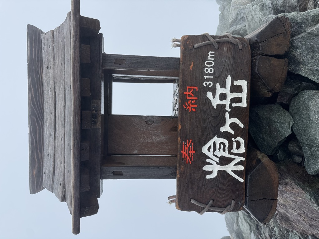
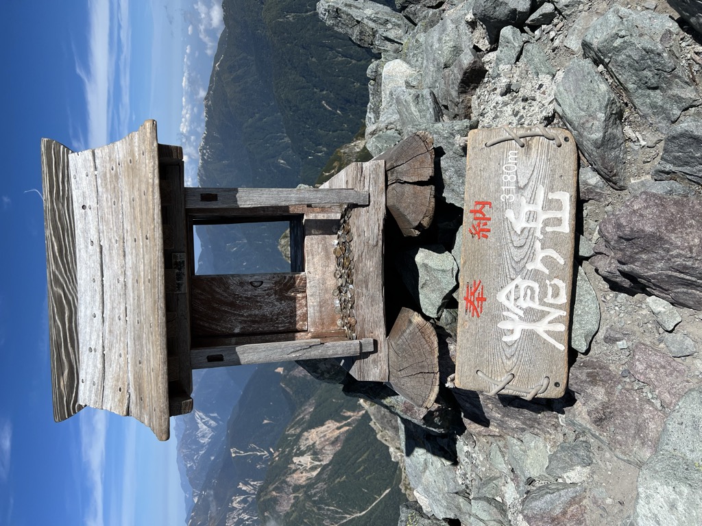
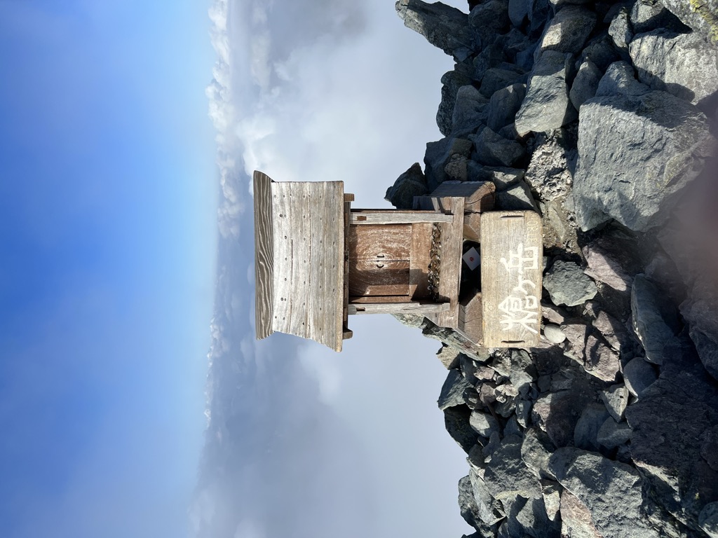
Mount Yari (槍ヶ岳, Yari-ga-take) is one of the 100 Famous Japanese Mountains. The 3,180-metre-high (10,433 ft) peak lies in the southern part of the Hida Mountains (Northern Alps) of Japan, on the border of Ōmachi and Matsumoto in Nagano Prefecture and Takayama in Gifu Prefecture. The priest Banryū (1786–1840) founded a temple there. The headwater of Japan's longest river, the Shinano River, begins here as the Azusa River.
There's a trail leading to the summit.
The nearest mountain hut is Yarigatakesanso located 182m/598ft WSW of the summit.
By elevation Mount Yari is
# 14 out of 10903 in the Japanese Mountains # 2 out of 652 in Nagano Prefecture # 14 out of 11291 in Japan # 2 out of 226 in Gifu Prefecture # 2 out of 263 in the Hida Mountains
By prominence Mount Yari is
# 40 out of 652 in Nagano Prefecture # 23 out of 226 in Gifu Prefecture # 21 out of 263 in the Hida Mountains
We use GPS information embedded into the photo when it is available.
3D mountains overlay
Adjust mountain panorama to perfectly match your photos because recorded by camera photo position might be imprecise.
Move tool
Rotate tool
Zoom
More customization
Choose which peak labels should make into the final photo and what photo title should be.
Next
Photo Location
Satellitte
Flat map
Relief map
Latitude
Longitude
Altitude
OR
Latitude
°'''
Longitude
°'''
Apply
Register Peak
Peak Name
Latitude
Longitude
Altitude
Register
Teleport
PeakVisor
This 3D model of Sagarmatha National Park in Nepal was made using the PeakVisor app topographic data. The mobile app features higher precision models worldwide, more topographic details, and works offline. Download PeakVisor maps today.
Download OBJ model
PeakVisor
The download should start shortly. If you find it useful please consider supporting the PeakVisor app.
PeakVisor for iOS and Android
Be a superhero of outdoor navigation with state-of-the-art 3D maps and mountain identification in the palm of your hand!