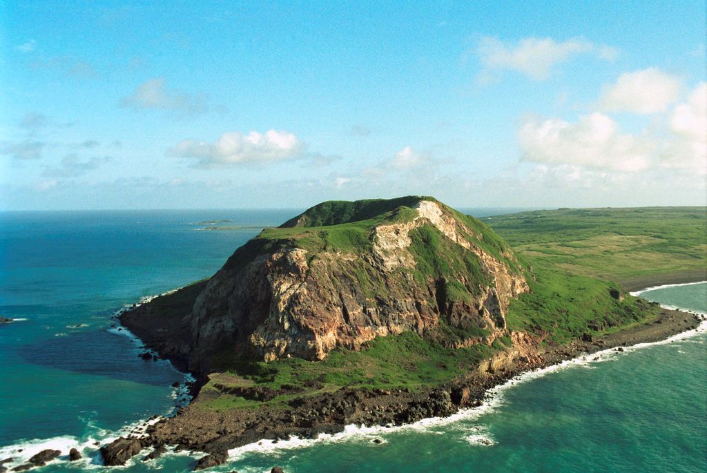
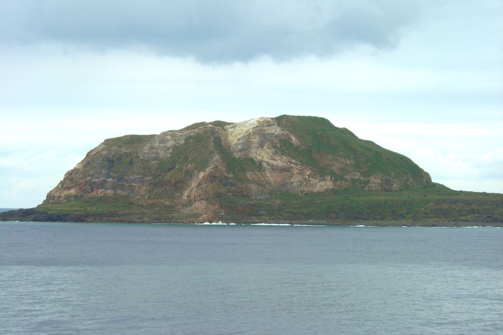
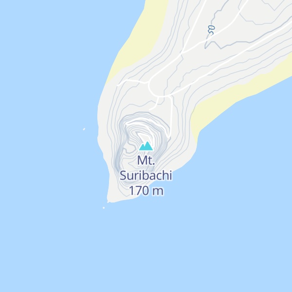
Mount Suribachi (摺鉢山, Suribachiyama) is a 169-metre (554 ft)-high mountain on the southwest end of Iwo Jima in the northwest Pacific Ocean under the administration of Ogasawara Subprefecture, Tokyo Metropolis, Japan.
The mountain's name derives from its shape, resembling a suribachi or grinding bowl. It is also known as "Mount Pipe" (パイプ山, paipu-yama), since the volcanic gas and water vapor that rolls in from the summit, alongside the rest of the island, give the appearance of a smoking pipe when viewed from the sea.
Joe Rosenthal's iconic World War II photograph, Raising the Flag on Iwo Jima, depicting United States Marines raising an American flag, was taken at the mountain's peak during the Battle of Iwo Jima in 1945. Ammunition ship USS Suribachi was named after this mountain.
We use GPS information embedded into the photo when it is available.
3D mountains overlay
Adjust mountain panorama to perfectly match your photos because recorded by camera photo position might be imprecise.
Move tool
Rotate tool
Zoom
More customization
Choose which peak labels should make into the final photo and what photo title should be.
Next
Photo Location
Satellitte
Flat map
Relief map
Latitude
Longitude
Altitude
OR
Latitude
°'''
Longitude
°'''
Apply
Register Peak
Peak Name
Latitude
Longitude
Altitude
Register
Teleport
PeakVisor
This 3D model of Sagarmatha National Park in Nepal was made using the PeakVisor app topographic data. The mobile app features higher precision models worldwide, more topographic details, and works offline. Download PeakVisor maps today.
Download OBJ model
PeakVisor
The download should start shortly. If you find it useful please consider supporting the PeakVisor app.
PeakVisor for iOS and Android
Be a superhero of outdoor navigation with state-of-the-art 3D maps and mountain identification in the palm of your hand!