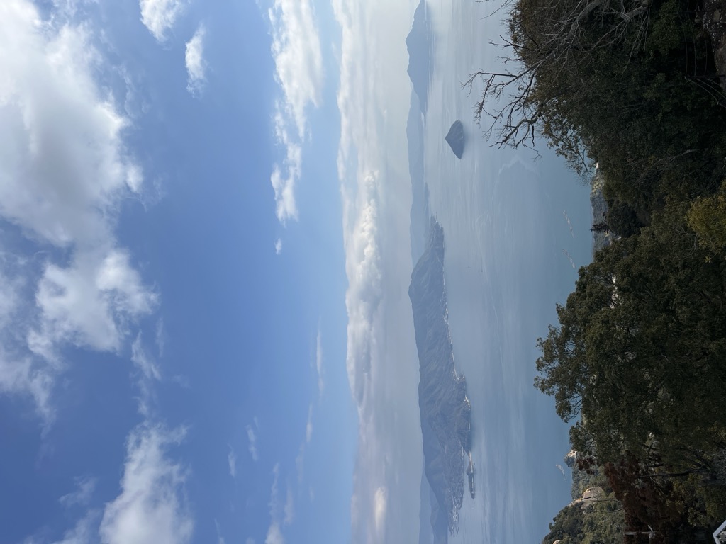
Mount Misen (弥山, Misen) is the sacred mountain on the sacred island Itsukushima in Hatsukaichi, Hiroshima, Japan; it is situated within the World Heritage area of Itsukushima Shrine.
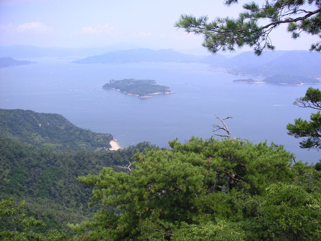
The sea around the island (Seto Inland Sea) and all of the island are within Setonaikai National Park.
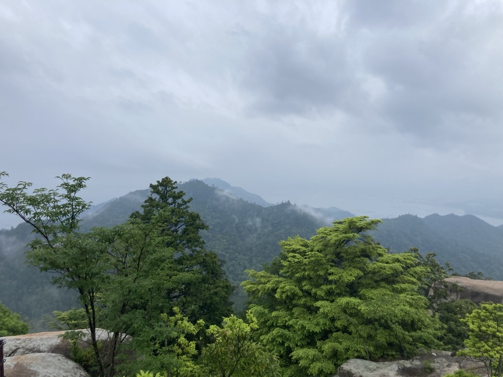
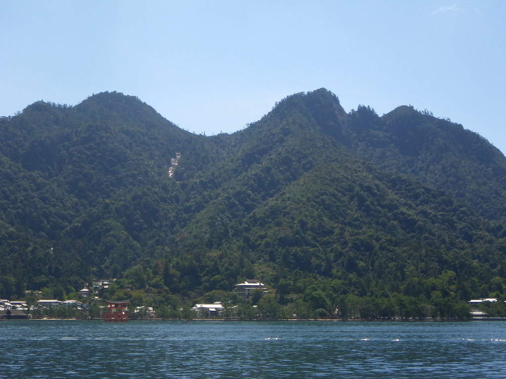
The north side of the mountain is covered by primeval forest which is protected by Hiroshima prefecture. The northern foot of the mountain has buildings, including the temple of Daishō-in. Behind Itsukushima Shrine is Momijidani-Kōen (紅葉谷公園, Maple Valley Park).
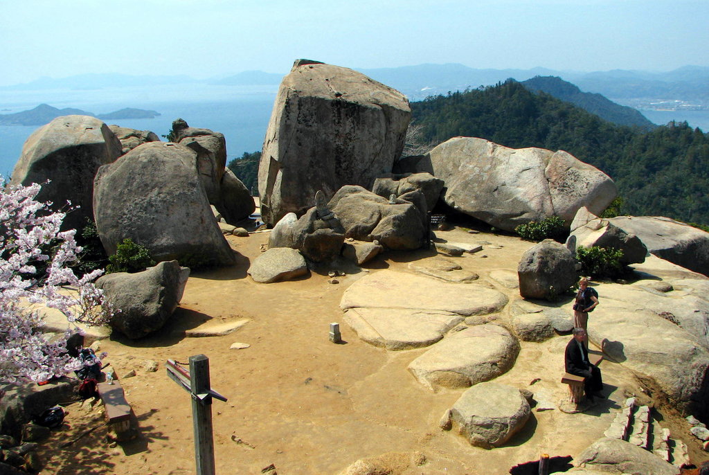
Mount Misen was visited by Kūkai in the year 806, the 1st year of the Daidō era. Since ancient times, the mountain has been an important destination for religious visitors.
There's a trail leading to the summit. Mt. Misen is one of the 1 peaks along the Misen Climbing Path Daishoin Course.
By prominence Mt. Misen is
# 10 out of 402 in Hiroshima Prefecture # 29 out of 1760 in the Chūgoku Mountains
We use GPS information embedded into the photo when it is available.
3D mountains overlay
Adjust mountain panorama to perfectly match your photos because recorded by camera photo position might be imprecise.
Move tool
Rotate tool
Zoom
More customization
Choose which peak labels should make into the final photo and what photo title should be.
Next
Photo Location
Satellitte
Flat map
Relief map
Latitude
Longitude
Altitude
OR
Latitude
°'''
Longitude
°'''
Apply
Register Peak
Peak Name
Latitude
Longitude
Altitude
Register
Teleport
PeakVisor
This 3D model of Sagarmatha National Park in Nepal was made using the PeakVisor app topographic data. The mobile app features higher precision models worldwide, more topographic details, and works offline. Download PeakVisor maps today.
Download OBJ model
PeakVisor
The download should start shortly. If you find it useful please consider supporting the PeakVisor app.
PeakVisor for iOS and Android
Be a superhero of outdoor navigation with state-of-the-art 3D maps and mountain identification in the palm of your hand!