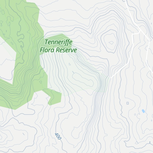
Mount Teneriffe in central Victoria, Australia, is a distinctive granite formation, 444 m (1,457 ft) above sea level (200m above plain level). It takes its name from the island of Tenerife in Spain.
Most of the area is within a nature conservation reserve with impressive granite outcrops at the foot of the mountain. Mount Teneriffe is one of the outliers of the Strathbogie Ranges formed from uplifted Devonian granite, the erosion of which has filled in the once deep valleys and basins of the Upper Goulburn, the Murray Valley and the Victorian Riverina with sediment. The hill is lightly timbered with scattered small trees on the summit. The site is accessed from Alexanderson Rd and then Jefferies Rd and Oak Valley Rd.
Some rock-climbing crags are present on the north west face, including Sparrow Slabs, Castle Rock, Eagle Rock, and Vertigo Block. Mt. Teneriffe was the site of the 1983 Australian Rogaining championship.
We use GPS information embedded into the photo when it is available.
3D mountains overlay
Adjust mountain panorama to perfectly match your photos because recorded by camera photo position might be imprecise.
Move tool
Rotate tool
Zoom
More customization
Choose which peak labels should make into the final photo and what photo title should be.
Next
Photo Location
Satellitte
Flat map
Relief map
Latitude
Longitude
Altitude
OR
Latitude
°'''
Longitude
°'''
Apply
Register Peak
Peak Name
Latitude
Longitude
Altitude
Register
Teleport
PeakVisor
This 3D model of Sagarmatha National Park in Nepal was made using the PeakVisor app topographic data. The mobile app features higher precision models worldwide, more topographic details, and works offline. Download PeakVisor maps today.
Download OBJ model
PeakVisor
The download should start shortly. If you find it useful please consider supporting the PeakVisor app.
PeakVisor for iOS and Android
Be a superhero of outdoor navigation with state-of-the-art 3D maps and mountain identification in the palm of your hand!