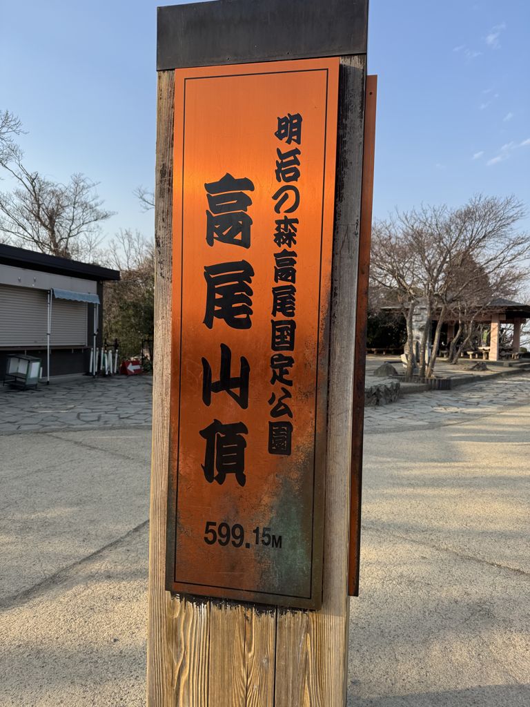
Mount Takao (高尾山, Takao-san) is a mountain in the city of Hachiōji, Tokyo, Japan. It is protected within Meiji no Mori Takao Quasi-National Park.
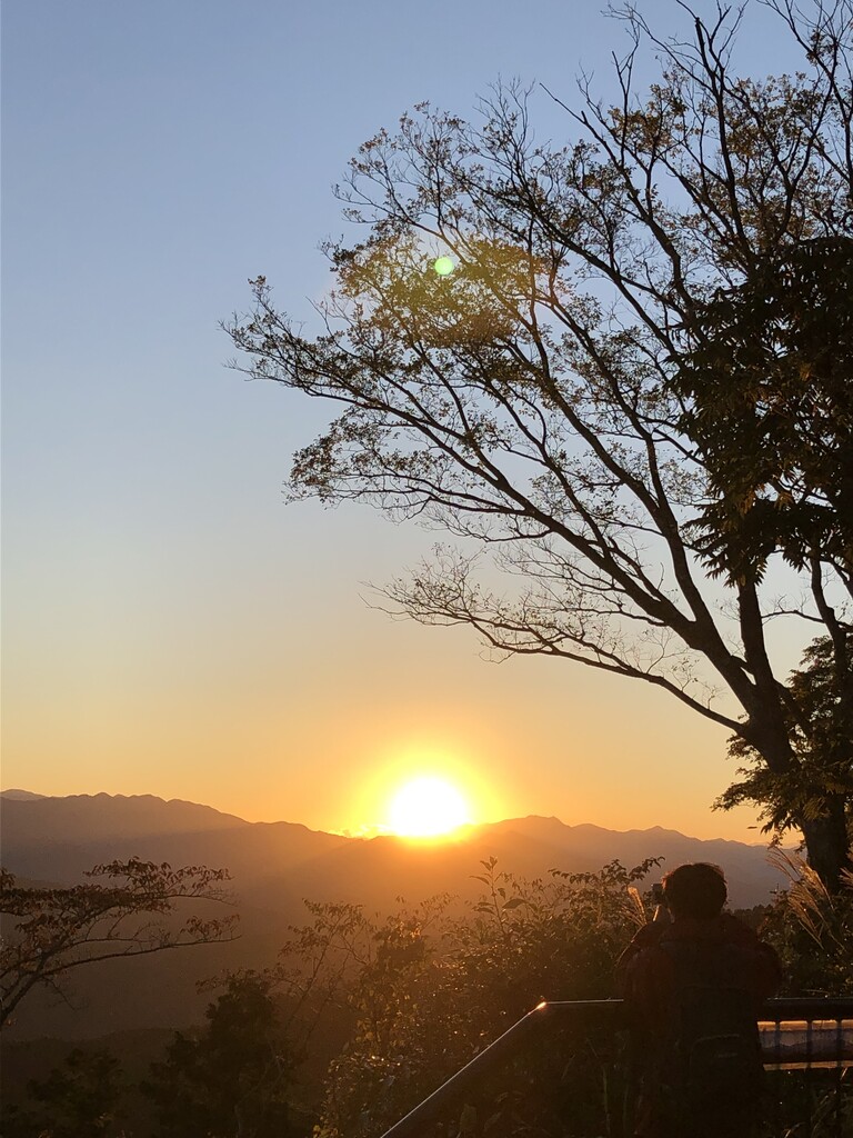
Standing 599 metres (1,965 ft) tall and located within an hour of downtown Tokyo, it is a popular hiking spot, with eight hiking trails and more than 2.5 million annual visitors. The Tama Forest Science Garden is also located at the mountain's base.
Mount Takao is closely associated with the Shinto-Buddhist tengu, supernatural creatures from Japanese folklore. The mountain is also renowned for Shugendō, the mountain asceticism focusing on strict discipline. A Buddhist temple, Takaosan Yakuōin Yūkiji, is located on the mountain, and attracts many visitors who pray to the tengu for good fortune. The temple belongs to the Shingon Buddhist sect.
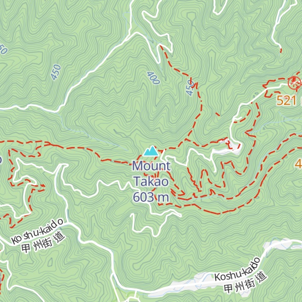
There's a hiking trail (T2) called 自然研究路5号路 (5th Trail) leading to the summit. Mount Takao is one of the 1 peaks along the 5号路.
By elevation Mount Takao is
# 77 out of 103 in the Tanzawa Mountains # 91 out of 205 in Tokyo
By prominence Mount Takao is
# 36 out of 103 in the Tanzawa Mountains # 47 out of 205 in Tokyo
We use GPS information embedded into the photo when it is available.
3D mountains overlay
Adjust mountain panorama to perfectly match your photos because recorded by camera photo position might be imprecise.
Move tool
Rotate tool
Zoom
More customization
Choose which peak labels should make into the final photo and what photo title should be.
Next
Photo Location
Satellitte
Flat map
Relief map
Latitude
Longitude
Altitude
OR
Latitude
°'''
Longitude
°'''
Apply
Register Peak
Peak Name
Latitude
Longitude
Altitude
Register
Teleport
PeakVisor
This 3D model of Sagarmatha National Park in Nepal was made using the PeakVisor app topographic data. The mobile app features higher precision models worldwide, more topographic details, and works offline. Download PeakVisor maps today.
Download OBJ model
PeakVisor
The download should start shortly. If you find it useful please consider supporting the PeakVisor app.
PeakVisor for iOS and Android
Be a superhero of outdoor navigation with state-of-the-art 3D maps and mountain identification in the palm of your hand!