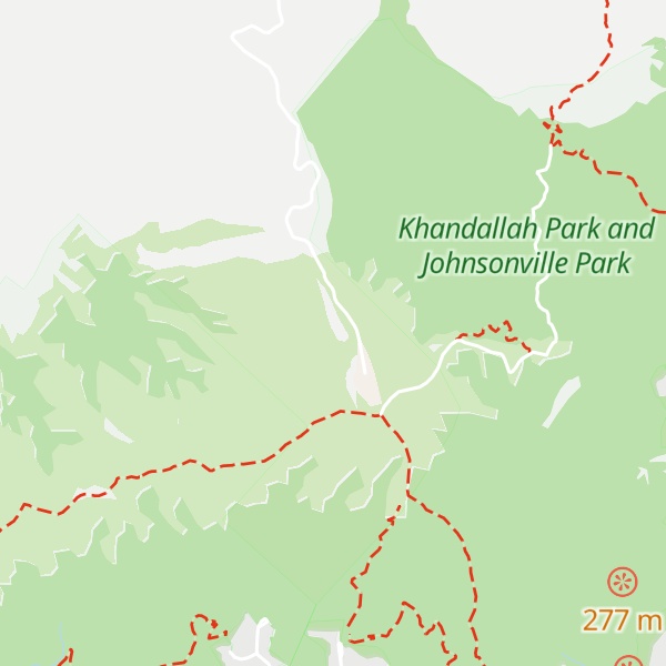
Mount Kaukau (Māori: [kaʉkaʉ]) is a large hill in the northern suburbs of Wellington, New Zealand near Johnsonville, Khandallah and Ngaio. The summit is 445 metres above sea level and is the most visible high point in the Wellington landscape further accentuated by Wellington's main television transmitter mast, which stands 122m from the summit. The city, harbour and the Remutaka and Tararua Ranges can be seen from the summit. On a clear day Mt. Tapuae-o-Uenuku and the Kaikōura Ranges in the South Island may be seen, whilst northwest is the Porirua Basin and the Tasman Sea.
We use GPS information embedded into the photo when it is available.
3D mountains overlay
Adjust mountain panorama to perfectly match your photos because recorded by camera photo position might be imprecise.
Move tool
Rotate tool
Zoom
More customization
Choose which peak labels should make into the final photo and what photo title should be.
Next
Photo Location
Satellitte
Flat map
Relief map
Latitude
Longitude
Altitude
OR
Latitude
°'''
Longitude
°'''
Apply
Register Peak
Peak Name
Latitude
Longitude
Altitude
Register
Teleport
PeakVisor
This 3D model of Sagarmatha National Park in Nepal was made using the PeakVisor app topographic data. The mobile app features higher precision models worldwide, more topographic details, and works offline. Download PeakVisor maps today.
Download OBJ model
PeakVisor
The download should start shortly. If you find it useful please consider supporting the PeakVisor app.
PeakVisor for iOS and Android
Be a superhero of outdoor navigation with state-of-the-art 3D maps and mountain identification in the palm of your hand!