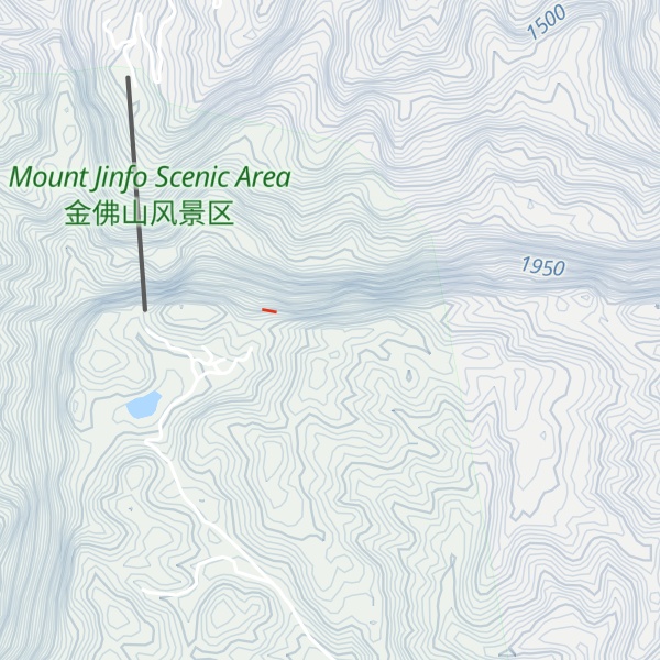
Jinfo Shan (Golden Buddha Mountain, Jinfoshan, Chin Shan, Jinfushan, Chin fu shan, chin fo shan, Chinese: 金佛山), the highest peak of Dalou Mountains, located in the upper reach of the Yangtze River, is situated in Nanchuan District, the Municipality of Chongqing. Jinfo Shan is an isolated mountain with cliffs up to 300 m surrounding its relatively flat top. Its major vegetation types include subtropical broadleaf forest, coniferous forests and subalpine meadow. Besides typical karst topography of gorges, stone forests and cave systems, Jinfo Shan is well known for its exceptional plant diversity of 4768 seed plants. The area may also be home to some of the few naturally occurring populations of Ginkgo biloba. It is also a refuge to endangered animals confined to karst regions such as Francois' Langur (Trachypithecus francoisi). With its outstanding karst features and superb biodiversity, Jinfo Shan was listed as a tentative World Heritage Site in 2001, and in 2014, the site was added as an extension to the South China Karst World Heritage Site.
By elevation Mount Jinfo is
# 1 out of 6 in Nanchuan District # 3 out of 108 in Chongqing
By prominence Mount Jinfo is
# 38 out of 2040 in the Yunnan–Guizhou Plateau # 1 out of 6 in Nanchuan District # 2 out of 108 in Chongqing
We use GPS information embedded into the photo when it is available.
3D mountains overlay
Adjust mountain panorama to perfectly match your photos because recorded by camera photo position might be imprecise.
Move tool
Rotate tool
Zoom
More customization
Choose which peak labels should make into the final photo and what photo title should be.
Next
Photo Location
Satellitte
Flat map
Relief map
Latitude
Longitude
Altitude
OR
Latitude
°'''
Longitude
°'''
Apply
Register Peak
Peak Name
Latitude
Longitude
Altitude
Register
Teleport
PeakVisor
This 3D model of Sagarmatha National Park in Nepal was made using the PeakVisor app topographic data. The mobile app features higher precision models worldwide, more topographic details, and works offline. Download PeakVisor maps today.
Download OBJ model
PeakVisor
The download should start shortly. If you find it useful please consider supporting the PeakVisor app.
PeakVisor for iOS and Android
Be a superhero of outdoor navigation with state-of-the-art 3D maps and mountain identification in the palm of your hand!