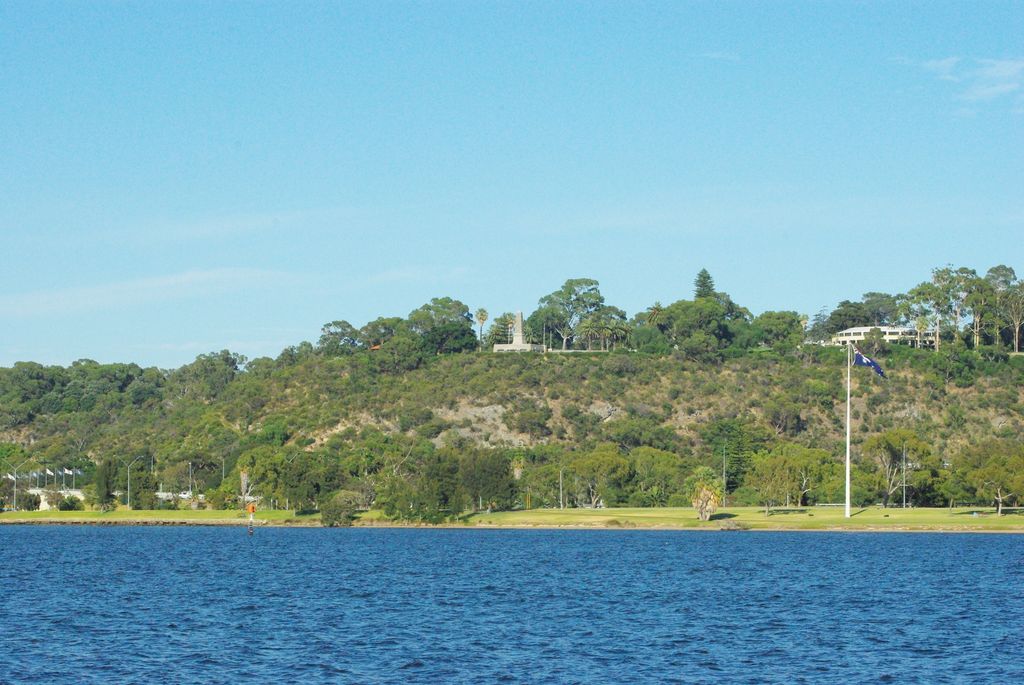
Mount Eliza is a hill that overlooks the city of Perth, Western Australia and forms part of Kings Park. It is known as Kaarta Gar-up and Mooro Katta in the local Noongar dialect.
As part of Kings Park, Mount Eliza has received more than 5 million visitors each year (2019), due to events such as; the Anzac Day Memorial service, the Australia Day fireworks and the Kings Park festival. In addition to these events, Mount Eliza attracts visitors and interest with its ecosystems, indigenous and colonial history, landmarks and other activities.
We use GPS information embedded into the photo when it is available.
3D mountains overlay
Adjust mountain panorama to perfectly match your photos because recorded by camera photo position might be imprecise.
Move tool
Rotate tool
Zoom
More customization
Choose which peak labels should make into the final photo and what photo title should be.
Next
Photo Location
Satellitte
Flat map
Relief map
Latitude
Longitude
Altitude
OR
Latitude
°'''
Longitude
°'''
Apply
Register Peak
Peak Name
Latitude
Longitude
Altitude
Register
Teleport
PeakVisor
This 3D model of Sagarmatha National Park in Nepal was made using the PeakVisor app topographic data. The mobile app features higher precision models worldwide, more topographic details, and works offline. Download PeakVisor maps today.
Download OBJ model
PeakVisor
The download should start shortly. If you find it useful please consider supporting the PeakVisor app.
PeakVisor for iOS and Android
Be a superhero of outdoor navigation with state-of-the-art 3D maps and mountain identification in the palm of your hand!